– Lat/Long: 54.16° N 2.25° W
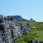
 Pen-y-ghent – Climbing, Hiking & Mountaineering information

Pen-y-ghent Guide
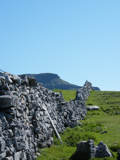
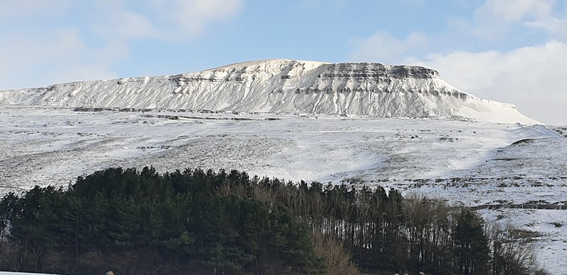
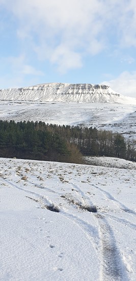
- Elevation: 694
- Difficulty: -
- Best months to climb: -
- Convenient center: -
Pen-y-ghent climbers NotesBe the first to submit your climbers note! Please submit any useful information about climbing Pen-y-ghent that may be useful to other climbers. Consider things such as access and accommodation at the base of Pen-y-ghent, as well as the logistics of climbing to the summit. |
| Select a
mountain summit from the menu |
||
|
Select a Mountain Summit
|
||
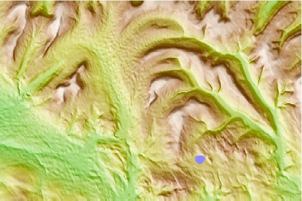
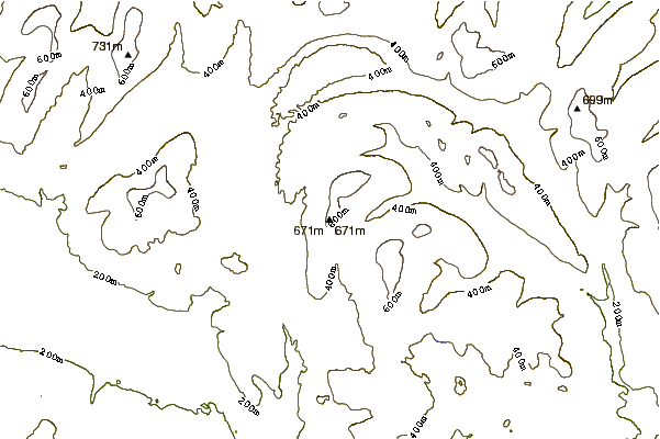
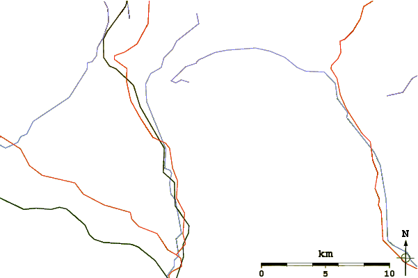
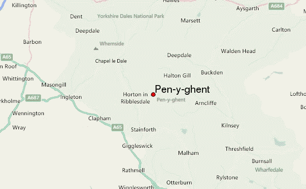
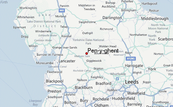
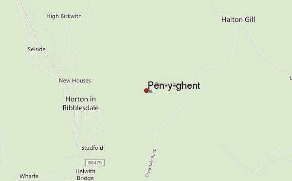
Use this relief map to navigate to mountain peaks in the area of Pen-y-ghent.
10 other mountain peaks closest to Pen-y-ghent:
| 1. | Plover Hill (680 m) | 2.2 km |
| 2. | Fountains Fell (668 m) | 3.2 km |
| 3. | Ingleborough (724 m) | 7.7 km |
| 4. | Birks Fell (610 m) | 8.7 km |
| 5. | Dodd Fell Hill (668 m) | 11.2 km |
| 6. | Buckden Pike (702 m) | 13.6 km |
| 7. | Whernside (735 m) | 13.9 km |
| 8. | Great Knoutberry Hill (672 m) | 14.7 km |
| 9. | Green Hill (Lancashire) (628 m) | 16.1 km |
| 10. | Gragareth (627 m) | 16.2 km |