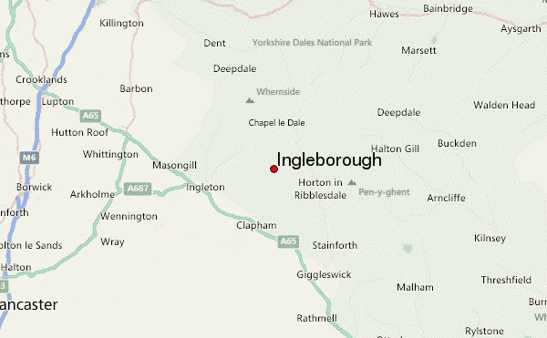
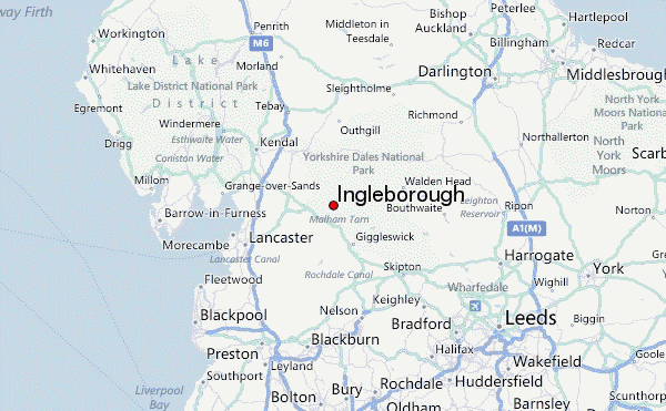
– Lat/Long: 54.17° N 2.37° W
 Ingleborough – Climbing, Hiking & Mountaineering information

Ingleborough Guide
- Elevation: 724
- Difficulty: Walk up
- Best months to climb: -
- Convenient center: Ingleton
Ingleborough climbers NotesBe the first to submit your climbers note! Please submit any useful information about climbing Ingleborough that may be useful to other climbers. Consider things such as access and accommodation at the base of Ingleborough, as well as the logistics of climbing to the summit. |
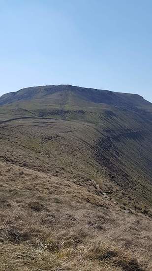
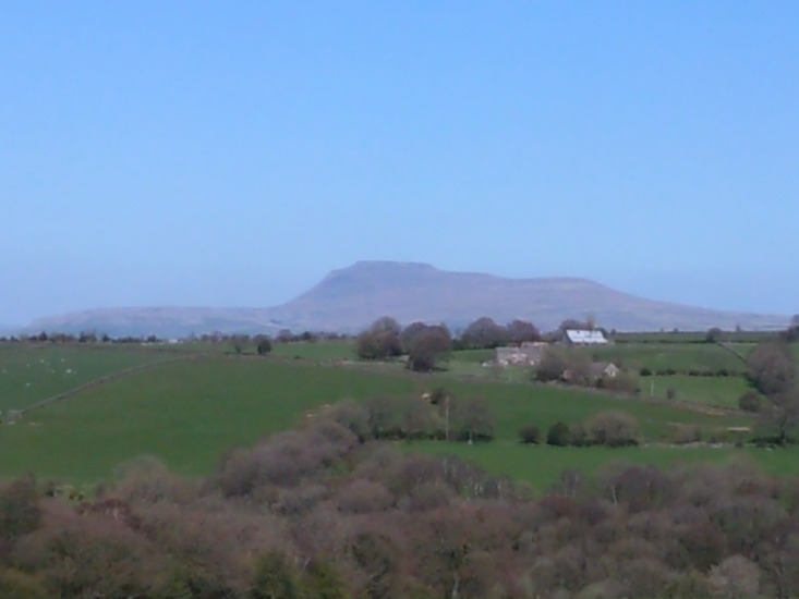
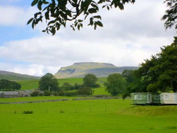
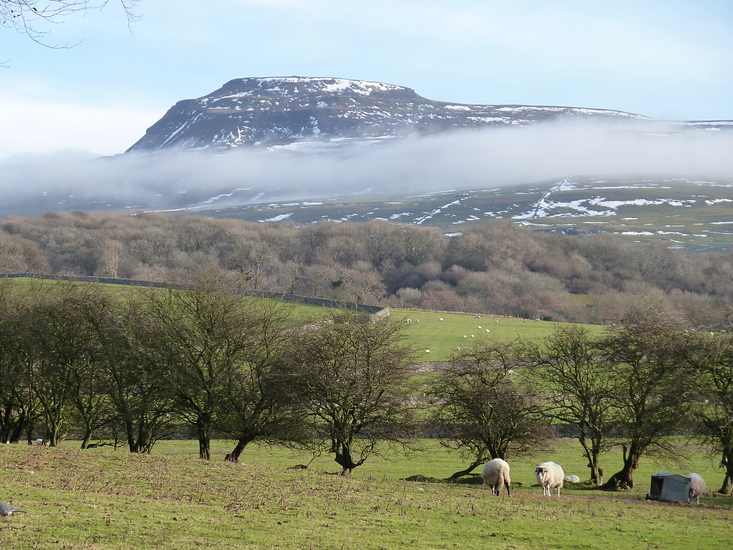
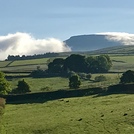
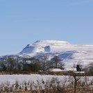
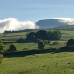
Latest Gallery Images for Ingleborough

| Select a
mountain summit from the menu |
||
|
Select a Mountain Summit
|
||
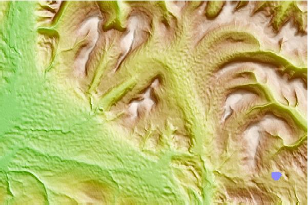
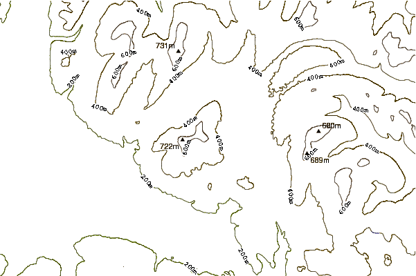
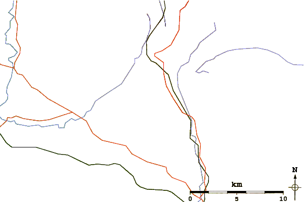
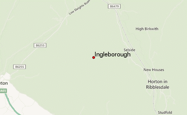
Use this relief map to navigate to mountain peaks in the area of Ingleborough.
10 other mountain peaks closest to Ingleborough:
| 1. | Pen-y-ghent (694 m) | 7.7 km |
| 2. | Whernside (735 m) | 8.0 km |
| 3. | Gragareth (627 m) | 8.7 km |
| 4. | Plover Hill (680 m) | 8.7 km |
| 5. | Green Hill (Lancashire) (628 m) | 9.4 km |
| 6. | Fountains Fell (668 m) | 10.7 km |
| 7. | Great Coum (687 m) | 10.8 km |
| 8. | Crag Hill (Yorkshire) (682 m) | 11.0 km |
| 9. | Dodd Fell Hill (668 m) | 12.7 km |
| 10. | Great Knoutberry Hill (672 m) | 12.7 km |