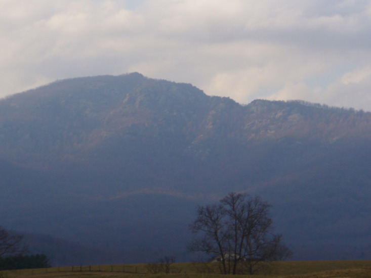
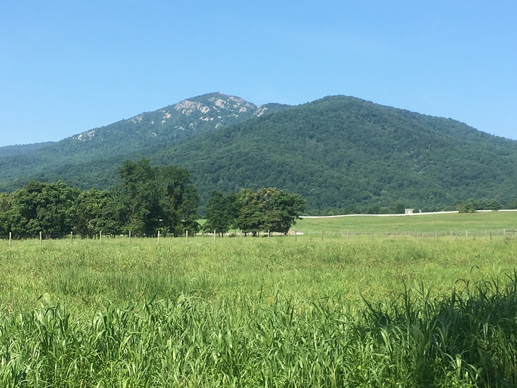
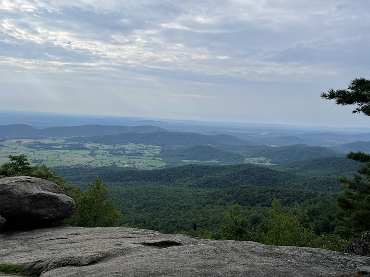
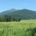
– Lat/Long: 38.55° N 78.31° W

UsOld Rag Mountain – Climbing, Hiking & Mountaineering information

Placeholder

Old Rag Mountain mountain guide

Old Rag ( winter) 11/17/2018, Old Rag Mountain photo

Old Rag Mountain

Photo credit: KJ

Old Rag Mountain photo

Old Rag Mountain

Photo credit: Todd Rich

Old Rag Mountain  photo

Old Rag Mountain

Photo credit: Ryan T McAvoy

Old Rag Summit, Old Rag Mountain photo

Old Rag Mountain

Photo credit: Ryan T McAvoy

Old Rag 07/03/2022, Old Rag Mountain photo

Old Rag Mountain

Photo credit: KJ

  • Elevation: 1003 m
  • Difficulty: Scramble
  • Best months to climb: April, May, September, October
  • Convenient center: Front Royal

Old Rag Mountain Climbing Notes

Jake Jones from UNITED STATES writes:

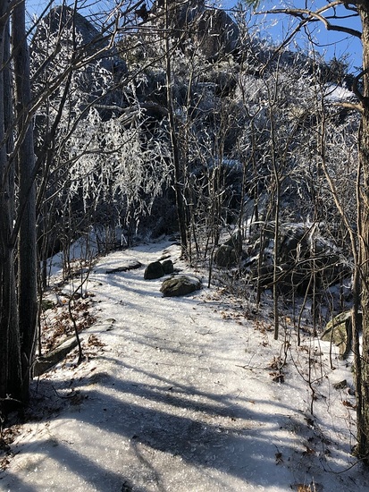
If you're going to Old Rag specifically to climb, the shorter, easier approach to the summit is on the western side of the mountain via the Berry Hollow trailhead/Saddle Trail. It's about 800ft less elevation gain and over a mile shorter than the Old Rag/Ridge Trail approach.

2012-03-27

Click here to read 2 more climbing notes for Old Rag Mountain or submit your own

Old Rag Mountain Location Map

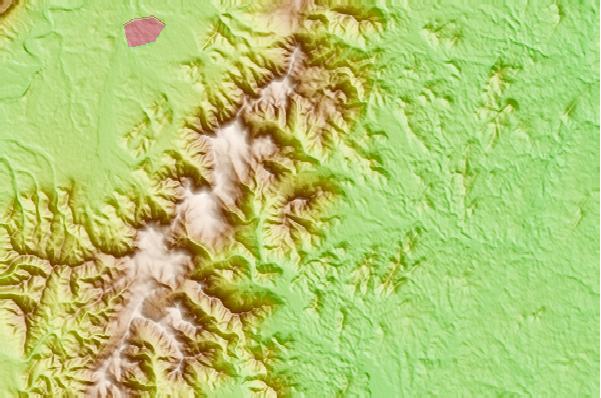
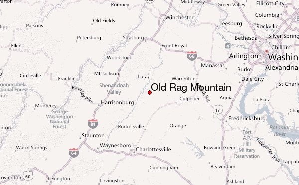
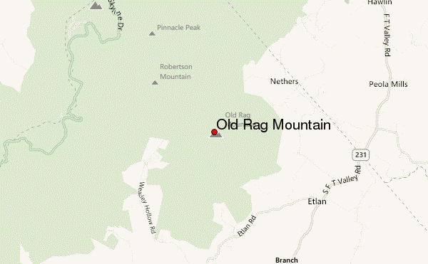
Select Old Rag Mountain Location Map Detail:


Latest Gallery Images for Old Rag Mountain

visit the
gallery
or click to view
Old Rag MountainOverlook

Upload your photo of Old Rag Mountain

Select a mountain summit from the menu
Select a Mountain Summit
Surf breaks located close to Old Rag Mountain Mountain peaks around Old Rag Mountain Roads and rivers around Old Rag Mountain

Use this relief map to navigate to mountain peaks in the area of Old Rag Mountain.

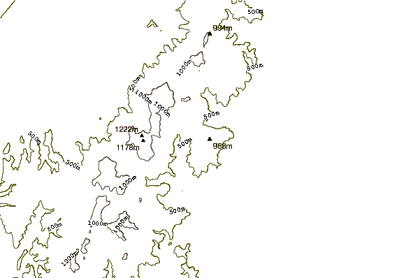
10 other mountain peaks closest to Old Rag Mountain:

1. Hawksbill Mountain (1234 m) 7.0 km
2. Mary's Rock (1071 m) 10.9 km
3. Neighbor Mountain (796 m) 16.5 km
4. Pignut Mountain (773 m) 19.0 km
5. Knob Mountain (Page County, Virginia) (872 m) 20.5 km
6. Kennedy Peak (780 m) 25.0 km
7. Massanutten Mountain (891 m) 27.8 km
8. Cedar Mountain (244 m) 29.4 km
9. Short Mountain (Virginia) (857 m) 32.1 km
10. High Knob (Blue Ridge, Virginia) (728 m) 40.7 km