– Lat/Long: 46.04° N 7.67° E
 Ober-Gabelhorn – Climbing, Hiking & Mountaineering information

Ober-Gabelhorn Guide
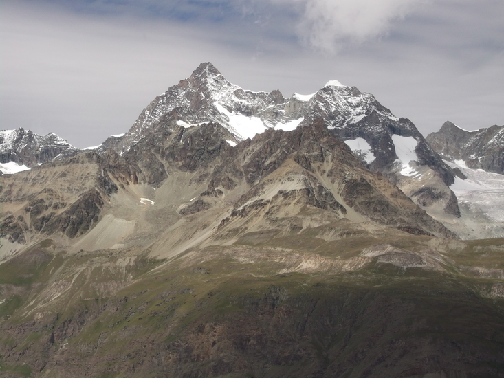
- Elevation: 4063
- Difficulty: Technical Climb
- Best months to climb: June, July, August
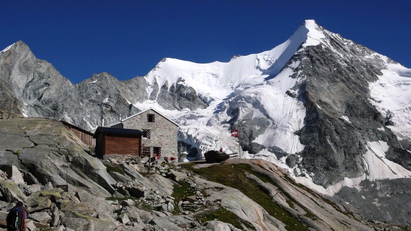
- Convenient center: Zermatt
Ober-Gabelhorn climbers NotesBe the first to submit your climbers note! Please submit any useful information about climbing Ober-Gabelhorn that may be useful to other climbers. Consider things such as access and accommodation at the base of Ober-Gabelhorn, as well as the logistics of climbing to the summit. |
| Select a
mountain summit from the menu |
||
|
Select a Mountain Summit
|
||
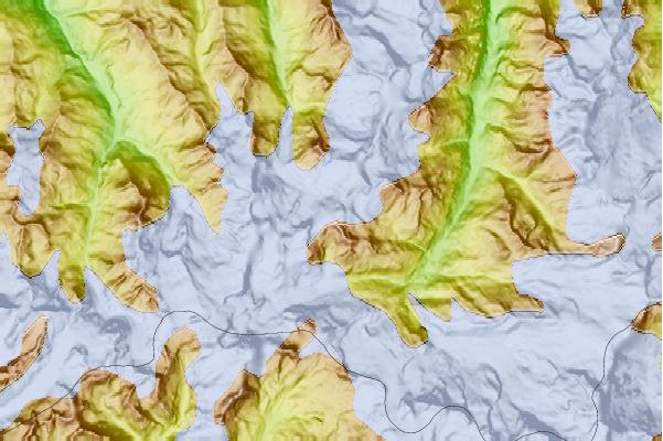
Use this relief map to navigate to mountain peaks in the area of Ober-Gabelhorn.
10 other mountain peaks closest to Ober-Gabelhorn:
| 1. | Arbenbiwak SAC (3225 m) | 0.8 km |
| 2. | Wellenkuppe (3903 m) | 0.9 km |
| 3. | Mont Durand (3713 m) | 1.4 km |
| 4. | Trifthorn (3728 m) | 1.7 km |
| 5. | Rothornhütte SAC (3180 m) | 2.5 km |
| 6. | Rothorn Hut (3198 m) | 2.6 km |
| 7. | Cabane du Mountet CAS (2886 m) | 2.6 km |
| 8. | Unter Gabelhorn (3392 m) | 2.6 km |
| 9. | Grand Mountet Hut (2886 m) | 2.7 km |
| 10. | Pointe du Mountet (3877 m) | 2.7 km |