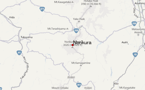
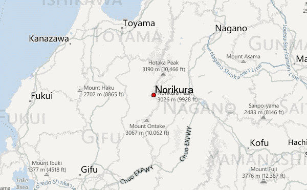
– Lat/Long: 36.12° N 137.55° E
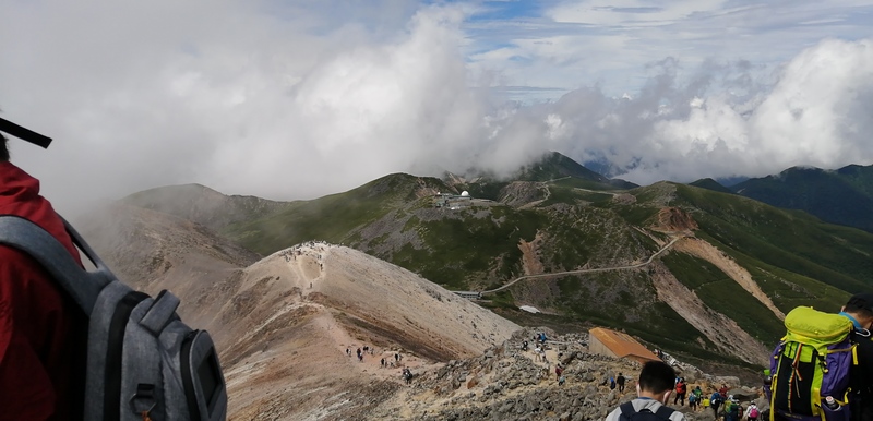
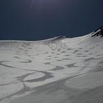
 Norikura – Climbing, Hiking & Mountaineering information

Norikura Guide
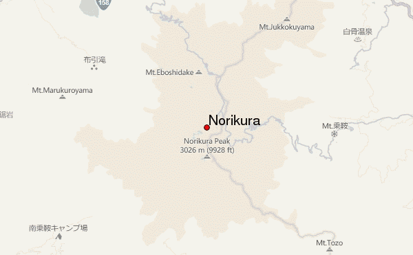
- Elevation: 3026
- Difficulty: -
- Best months to climb: August, September
- Convenient center: Matsumoto
Norikura climbers NotesBe the first to submit your climbers note! Please submit any useful information about climbing Norikura that may be useful to other climbers. Consider things such as access and accommodation at the base of Norikura, as well as the logistics of climbing to the summit. |
| Select a
mountain summit from the menu |
||
|
Select a Mountain Summit
|
||
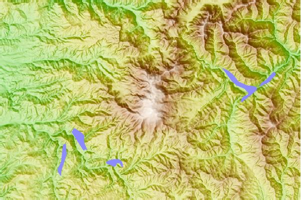
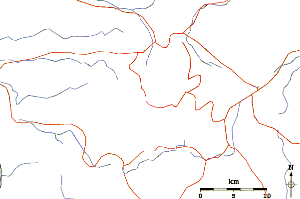
Use this relief map to navigate to mountain peaks in the area of Norikura.
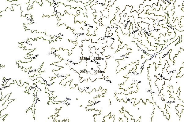
10 other mountain peaks closest to Norikura:
| 1. | 山本小屋ふる里館 (2708 m) | 0.6 km |
| 2. | 中の湯温泉旅館 (2769 m) | 0.6 km |
| 3. | 乗鞍岳頂上小屋 (2712 m) | 0.8 km |
| 4. | 乗鞍岳肩ノ小屋 (2999 m) | 1.5 km |
| 5. | 銀嶺荘 (2353 m) | 1.9 km |
| 6. | 位ヶ原山荘 (1227 m) | 10.4 km |
| 7. | 坂巻温泉旅館 (1528 m) | 10.5 km |
| 8. | Yake-dake (2455 m) | 11.5 km |
| 9. | 明神館 (2079 m) | 13.6 km |
| 10. | 大滝山荘 (1509 m) | 16.2 km |