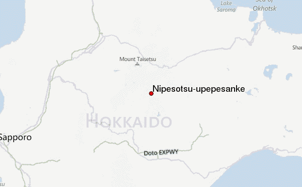
– Lat/Long: 43.45° N 143.03° E
 Nipesotsu-upepesanke – Climbing, Hiking & Mountaineering information

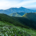
Nipesotsu-upepesanke Guide
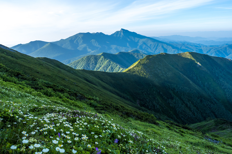
- Elevation: 2013
- Difficulty: -
- Best months to climb: -
- Convenient center: Kitami
Nipesotsu-upepesanke climbers NotesBe the first to submit your climbers note! Please submit any useful information about climbing Nipesotsu-upepesanke that may be useful to other climbers. Consider things such as access and accommodation at the base of Nipesotsu-upepesanke, as well as the logistics of climbing to the summit. |
| Select a
mountain summit from the menu |
||
|
Select a Mountain Summit
|
||
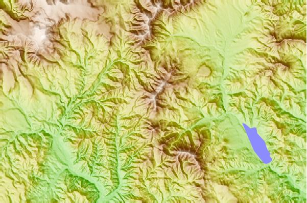
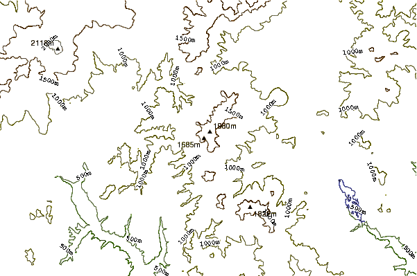
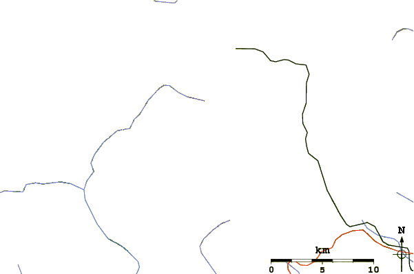
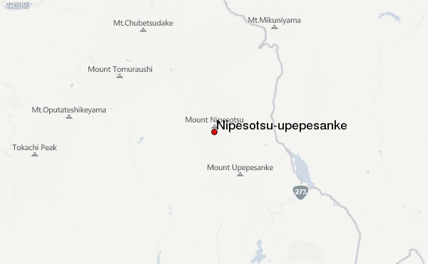
Use this relief map to navigate to mountain peaks in the area of Nipesotsu-upepesanke.
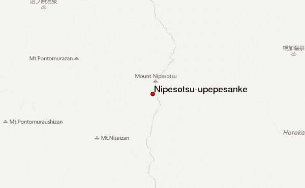
10 other mountain peaks closest to Nipesotsu-upepesanke:
| 1. | Mount Maru (Kamishihoro-Shintoku) (1692 m) | 3.7 km |
| 2. | Mount Upepesanke (1848 m) | 8.0 km |
| 3. | Mount Numanohara (1506 m) | 9.6 km |
| 4. | Mount Ishikari (1967 m) | 10.8 km |
| 5. | Mount Otofuke (1932 m) | 12.5 km |
| 6. | Mount Yuniishikari (1756 m) | 13.1 km |
| 7. | Mount Tomuraushi (Daisetsuzan) (2141 m) | 16.9 km |
| 8. | Mount Mikuni (Hokkaidō) (1541 m) | 18.7 km |
| 9. | Mount Chūbetsu (1963 m) | 18.8 km |
| 10. | Shikaribetsu Group (1430 m) | 19.3 km |