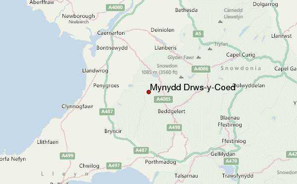
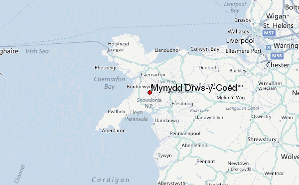
– Lat/Long: 53.04° N 4.17° W
 Mynydd Drws-y-Coed – Climbing, Hiking & Mountaineering information

Mynydd Drws-y-Coed Guide
- Elevation: 695
- Difficulty: -
- Best months to climb: -
- Convenient center: -
Mynydd Drws-y-Coed climbers NotesBe the first to submit your climbers note! Please submit any useful information about climbing Mynydd Drws-y-Coed that may be useful to other climbers. Consider things such as access and accommodation at the base of Mynydd Drws-y-Coed, as well as the logistics of climbing to the summit. |
| Select a
mountain summit from the menu |
||
|
Select a Mountain Summit
|
||
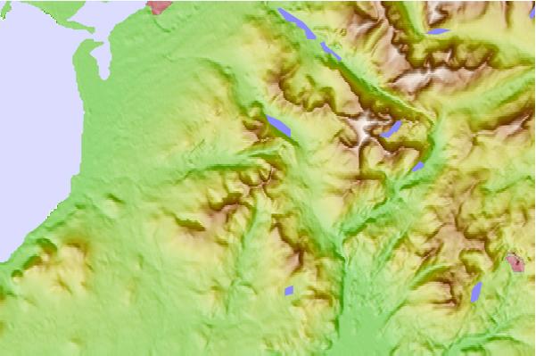
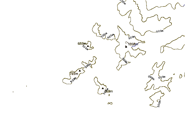
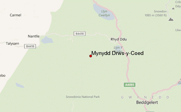
Use this relief map to navigate to mountain peaks in the area of Mynydd Drws-y-Coed.
10 other mountain peaks closest to Mynydd Drws-y-Coed:
| 1. | Trum y Ddysgl (709 m) | 0.3 km |
| 2. | Nantlle Ridge (Y Garn) (633 m) | 1.0 km |
| 3. | Mynydd Tal-y-Mignedd (653 m) | 1.3 km |
| 4. | Mynydd Mawr (698 m) | 2.6 km |
| 5. | Moel yr Ogof (655 m) | 3.9 km |
| 6. | Garnedd Goch (700 m) | 4.3 km |
| 7. | Craig Cwm Silyn (734 m) | 4.3 km |
| 8. | Moel Lefn (638 m) | 5.1 km |
| 9. | Foel Goch (Arenigs) (611 m) | 5.1 km |
| 10. | Foel-goch (831 m) | 5.1 km |