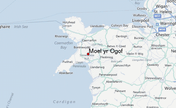
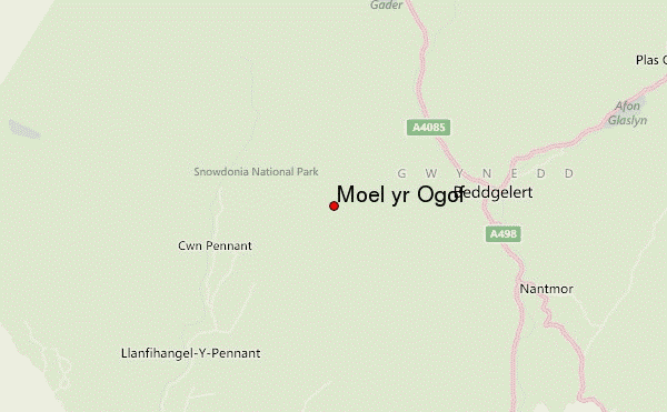
– Lat/Long: 53.01° N 4.15° W
 Moel yr Ogof – Climbing, Hiking & Mountaineering information

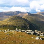
Moel yr Ogof Guide
- Elevation: 655
- Difficulty: -
- Best months to climb: -
- Convenient center: -
Moel yr Ogof climbers NotesBe the first to submit your climbers note! Please submit any useful information about climbing Moel yr Ogof that may be useful to other climbers. Consider things such as access and accommodation at the base of Moel yr Ogof, as well as the logistics of climbing to the summit. |
| Select a
mountain summit from the menu |
||
|
Select a Mountain Summit
|
||
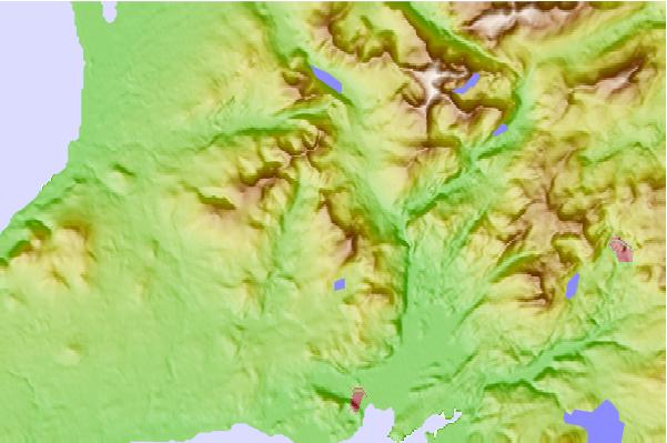
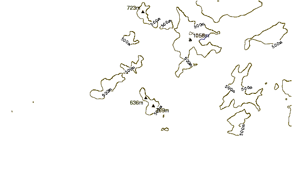
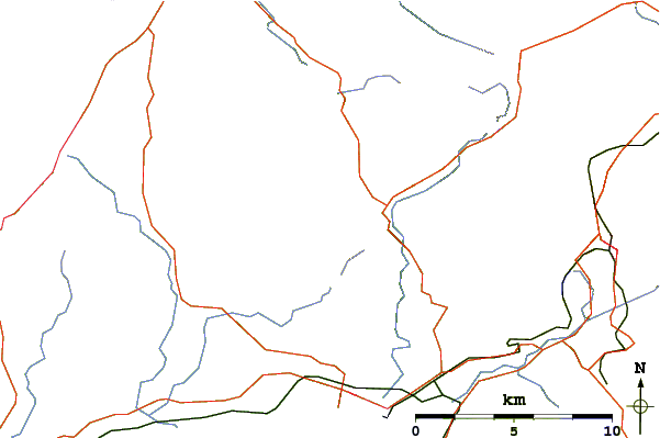
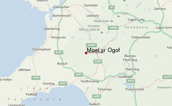
Use this relief map to navigate to mountain peaks in the area of Moel yr Ogof.
10 other mountain peaks closest to Moel yr Ogof:
| 1. | Moel Lefn (638 m) | 1.3 km |
| 2. | Moel Hebog (783 m) | 1.3 km |
| 3. | Trum y Ddysgl (709 m) | 3.9 km |
| 4. | Mynydd Drws-y-Coed (695 m) | 3.9 km |
| 5. | Mynydd Tal-y-Mignedd (653 m) | 4.2 km |
| 6. | Cae Amos (216 m) | 4.7 km |
| 7. | Nantlle Ridge (Y Garn) (633 m) | 4.7 km |
| 8. | Garnedd Goch (700 m) | 4.8 km |
| 9. | Craig Cwm Silyn (734 m) | 4.8 km |
| 10. | Yr Aran (747 m) | 5.9 km |