Dear Mountain Lovers,
I would like to share important information on how to apply for climbing permits to ascend any mountain peaks within the Xinjiang Autonomous Region of China.
In 2025, several foreign mountaineering organizations, companies, and individuals unfamiliar with the climbing permit application processes have sought assistance from domestic travel agencies, outdoor clubs, and even unregistered "cowboy agencies" and tour guides. Unfortunately, many faced cancellations close to their departure dates due to not meeting our acceptance criteria, leading to significant economic and reputational challenges.
This year, the China National Sports Administration and the Xinjiang Sports Bureau have explicitly stated that no domestic outdoor clubs, travel agencies, or individuals are permitted to apply for climbing permits on behalf of foreign climbing organizations, companies, or individuals. The only authorized organization in Xinjiang to handle climbing permit applications is the Xinjiang Mountaineering Association (CXMA), which has been one of the top three mountaineering organizations since 1980.
Here are the guidelines for applying for climbing permits:
1. Applications must be submitted directly to CXMA by foreign mountaineering companies or individuals.
2. Applications should be submitted at least two months prior to departure from the home country or one month for expedited requests.
3. Applications from domestic outdoor clubs or travel agencies on behalf of foreign teams will not be accepted.
4. Full payment must be transferred to CXMA's designated account prior to group departure.
5. All logistic services will be provided directly by CXMA without outsourcing.
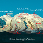
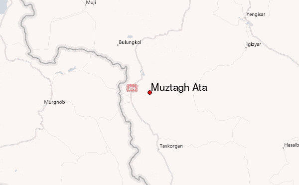
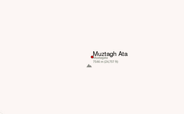
We look forward to collaborating with you on future mountaineering or trekking ventures in China. Please feel free to inquire about pricing for climbing Muztagh Ata or any other information you may need.
Sincerely,
Keyoum
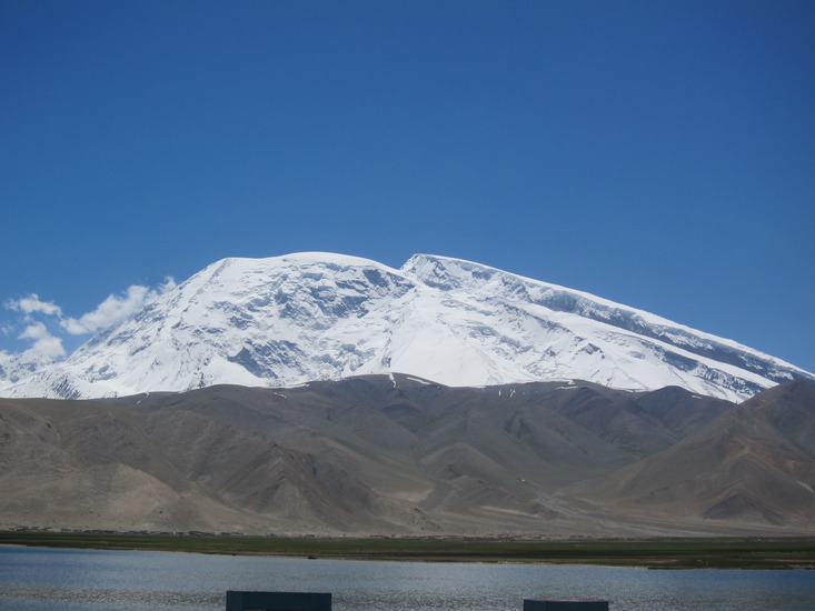
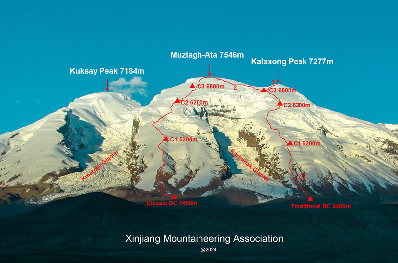
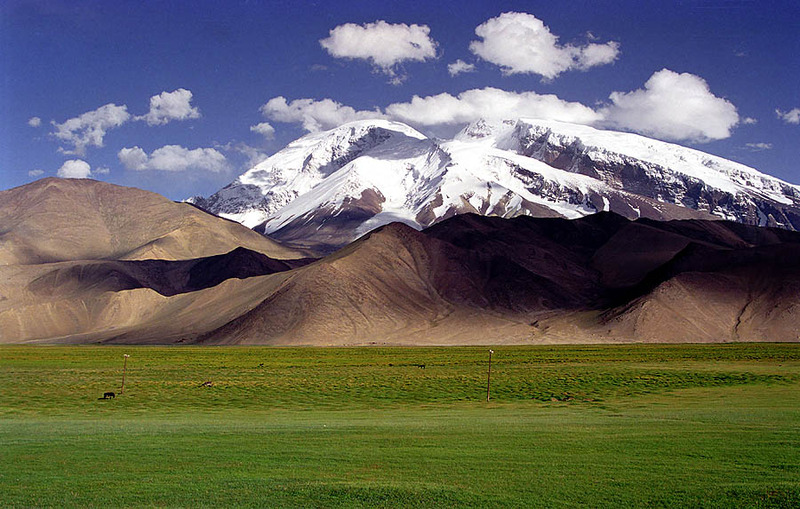
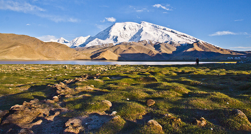
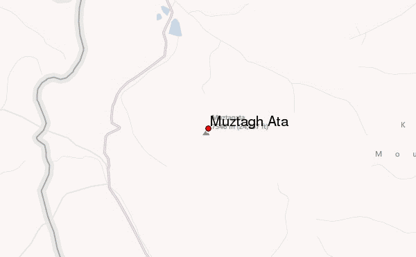
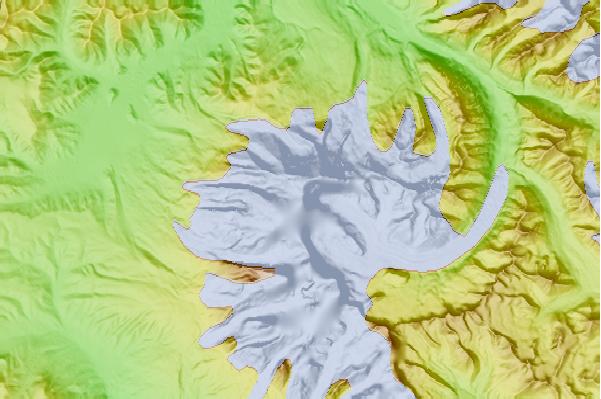
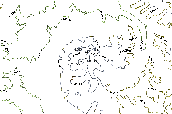
 Muztagh Ata – Climbing, Hiking & Mountaineering information


