Mulayit Taung Guide
- Elevation: 2005
- Difficulty: -
- Best months to climb: -
- Convenient center: -
Mulayit Taung climbers Notes
Dennis Dean Tidwell from UNITED STATES writes:
There are two trails to climb the mountain. The easiest and clearest trail is via Chokalee Village, located south-east of the peak. A guide may be available at Chokalee. The other approach comes in from the northern side. It is less defined, but a beautiful trail. Water is available from a spring.
Before you reach the peak there is a natural flat field. A little past the field is a hut where soldiers posted to this lonely mountaintop sometimes stay. They sometime booby trap the trail, so proceed with caution. At the peak the KNU used to operate a radio communications post from a fortified bunker.
The view from the peak to the west is amazing and on a clear day you can see as far as Mawlamyine. The mountain west of the peak drops almost straight down for 500 meters or more in a steep cliff to the tree covered foothills below. The mountain is not easily approached from the west.
2012-11-24 |
Click here to submit your own climbing note for Mulayit Taung
|
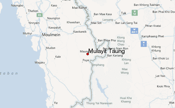
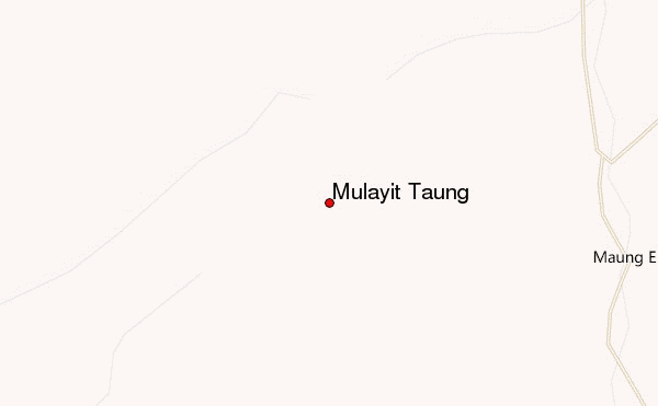
Select Mulayit Taung Location Map Detail:
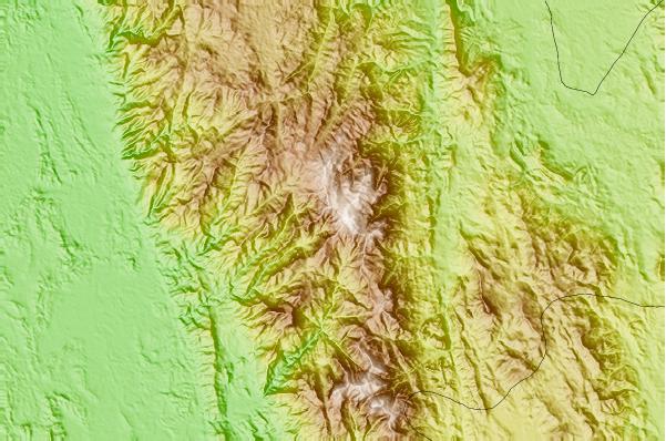
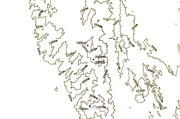
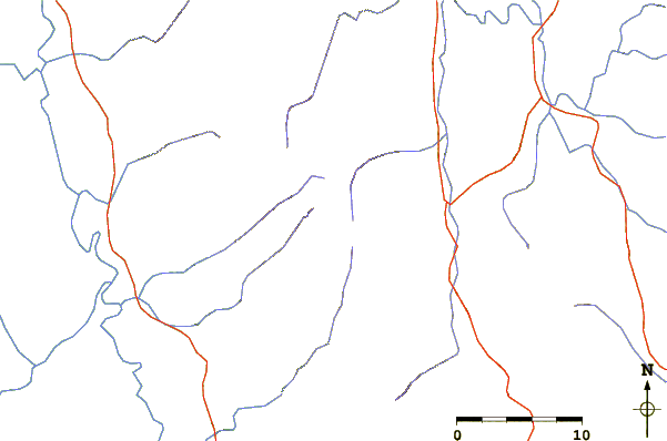
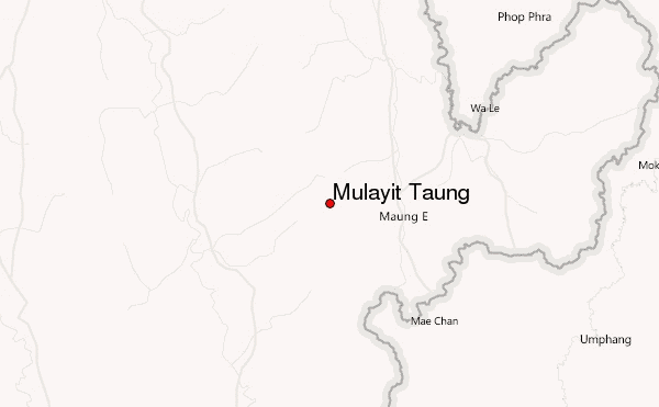
Use this relief map to navigate to mountain peaks in the area of Mulayit Taung.
10 other mountain peaks closest to Mulayit Taung:
 Mulayit Taung – Climbing, Hiking & Mountaineering information