– Lat/Long: 44.19° N 71.61° W
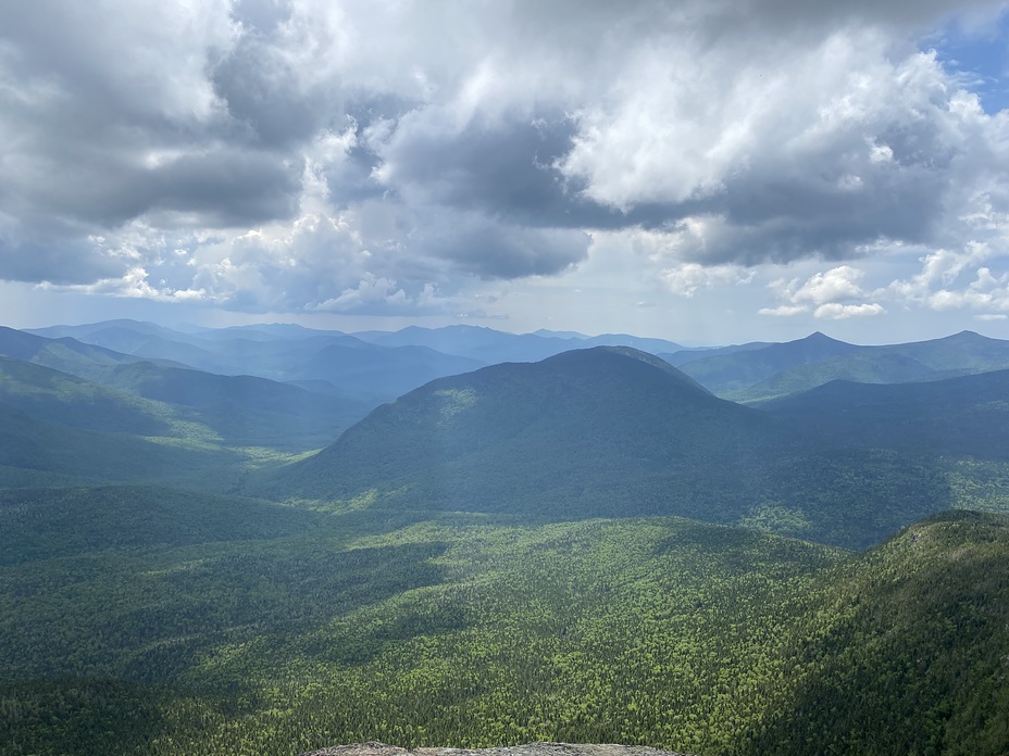
 Mt Garfield
Weather Forecast, United StatesIssued: 7 pm Mon 27 Jul Local TimeUpdates in: hr min sUpdate imminent
Issued: 7 pm Mon 27 Jul Local Time
Updates in:
Update imminent hr min s

Issued: 7 pm Mon 27 Jul Local Time
Updates in:
Update imminent hr min s
Days 1–4 Weather SummaryHeavy rain (total 60mm), heaviest during Tue night. Warm (max 22°C on Tue morning, min 16°C on Wed night). Wind will be generally light. | Days 5–7 Weather SummaryModerate rain (total 13mm), heaviest on Sun afternoon. Warm (max 23°C on Sat afternoon, min 16°C on Thu night). Wind will be generally light. | ||||||||||||||||||
Tuesday 28 | Wednesday 29 | Thursday 30 | Friday 31 | Saturday 1 | Sunday 2 | ||||||||||||||
night | AM | PM | night | AM | PM | night | AM | PM | night | AM | PM | night | AM | PM | night | AM | PM | night | |
some clouds | rain shwrs | mod. rain | heavy rain | heavy rain | mod. rain | heavy rain | light rain | light rain | light rain | light rain | rain shwrs | rain shwrs | rain shwrs | rain shwrs | rain shwrs | rain shwrs | mod. rain | mod. rain | |
Cloud base (m) | 8900 | 650 | 600 | 500 | 500 | 550 | 500 | 500 | 500 | 900 | 2150 | 2100 | 2200 | 4150 | 6000 | 900 | 500 | ||
km/h | |||||||||||||||||||
 |  |  |  |  |  |  | |||||||||||||
— | — | — | — | — | — | — | — | — | — | — | — | — | — | — | — | — | — | — | |
mm | — | 0.2 | 6 | 21 | 13 | 6 | 11 | 1.2 | 2 | 1 | 0.5 | 1.4 | 0.2 | 0.1 | 0.3 | 0.1 | 1.1 | 8 | 6 |
max °C | 21 | 22 | 21 | 18 | 17 | 18 | 16 | 16 | 17 | 16 | 18 | 21 | 19 | 22 | 23 | 20 | 21 | 21 | 18 |
min °C | 18 | 20 | 19 | 17 | 17 | 17 | 16 | 16 | 16 | 16 | 16 | 21 | 16 | 19 | 22 | 17 | 20 | 19 | 17 |
chill °C | 18 | 20 | 19 | 16 | 16 | 16 | 15 | 16 | 16 | 16 | 16 | 21 | 16 | 19 | 22 | 17 | 20 | 19 | 17 |
Freezing level m | 3550 | 3750 | 3900 | 3800 | 3800 | 3800 | 3600 | 3700 | 3750 | 3600 | 3600 | 3800 | 3850 | 3800 | 3950 | 3950 | 3950 | 3900 | 3800 |
— | 5:28 | — | — | 5:30 | — | — | 5:31 | — | — | 5:31 | — | — | 5:33 | — | — | 5:33 | — | — | |
— | — | — | 8:15 | — | — | 8:14 | — | — | 8:13 | — | — | 8:12 | — | — | 8:10 | — | — | 8:09 | |
Loading...
Mt Garfield Weather (Days 0-3):
The weather forecast for Mt Garfield is: Heavy rain (total 60mm), heaviest during Tue night. Warm (max 22°C on Tue morning, min 16°C on Wed night). Wind will be generally light.
Mt Garfield Weather (Days 3-6):
Moderate rain (total 13mm), heaviest on Sun afternoon. Warm (max 23°C on Sat afternoon, min 16°C on Thu night). Wind will be generally light.
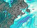
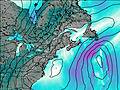
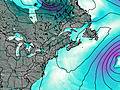
This table gives the weather forecast for Mt Garfield at the specific elevation of 500 m. Our advanced weather models allow us to provide distinct weather forecasts for several elevations of Mt Garfield. To see the weather forecasts for the other elevations, use the tab navigation above the table. For a wider overview of the weather, consult the Weather Map of New-Hampshire.
| Weather Station | Temp. | Weather | Wind | Gusts | Cloud / Visibility |
|---|---|---|---|---|---|
Whitefield Airport | |||||
Mount Washington Airport | |||||
* NOTE: not all weather observatories update at the same frequency which is the reason why some locations may show data from stations that are further away than known closer ones.
Mt Garfield Photos
View all
Twin Range photos (18) |
Appalachians photos (910) |
photos from mountains in United States (3056) |
all photos
 Upload new photo
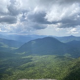


Beautiful views
Mt. Garfield
Two hiking junkies