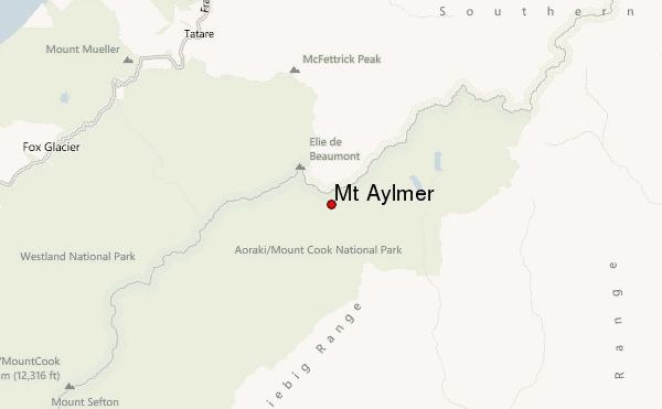
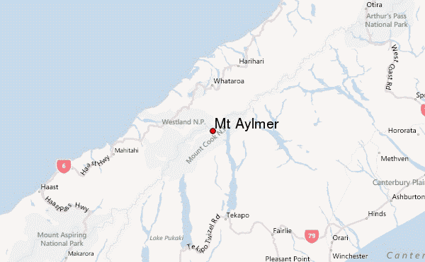
– Lat/Long: 43.52° S 170.37° E
 Mt Aylmer – Climbing, Hiking & Mountaineering information

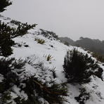
Mt Aylmer Guide
- Elevation: 2699
- Difficulty: Basic Snow and Ice Climb
- Best months to climb: January, February, March, April, May, June, July, August, September, October, November, December
- Convenient center: Christchurch / Mt Cook Village
Mt Aylmer climbers NotesBe the first to submit your climbers note! Please submit any useful information about climbing Mt Aylmer that may be useful to other climbers. Consider things such as access and accommodation at the base of Mt Aylmer, as well as the logistics of climbing to the summit. |
| Select a
mountain summit from the menu |
||
|
Select a Mountain Summit
|
||
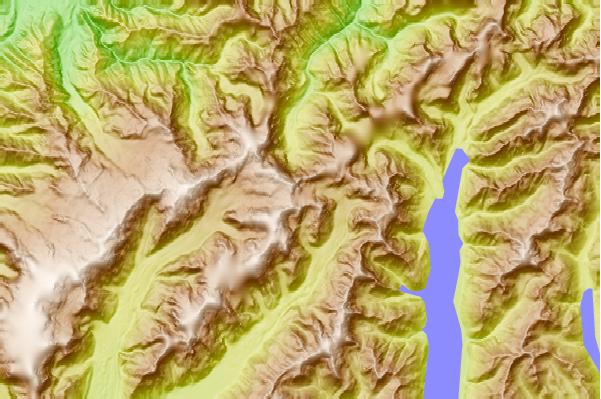
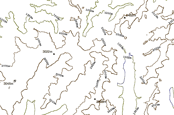
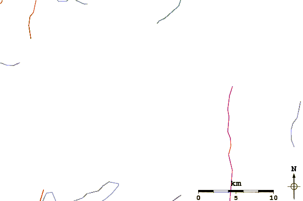
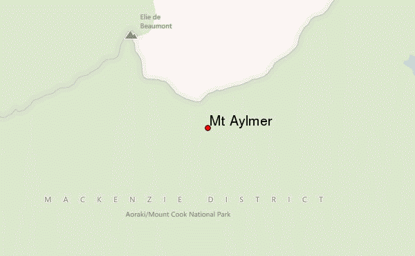
Use this relief map to navigate to mountain peaks in the area of Mt Aylmer.
10 other mountain peaks closest to Mt Aylmer:
| 1. | Kelman Hut (2453 m) | 0.6 km |
| 2. | Tasman Saddle Hut (2340 m) | 2.1 km |
| 3. | Murchison Hut (1875 m) | 2.2 km |
| 4. | Hochstetter Dome (2823 m) | 2.3 km |
| 5. | Mount Green (2838 m) | 5.7 km |
| 6. | Malte Brun (3198 m) | 7.3 km |
| 7. | Whymper Hut (980 m) | 8.2 km |
| 8. | Eade Memorial Hut (978 m) | 9.3 km |
| 9. | Centennial Hut (2385 m) | 10.8 km |
| 10. | Beetham Hut (1451 m) | 11.0 km |