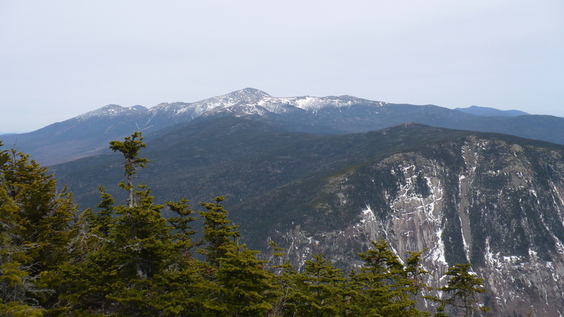
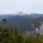
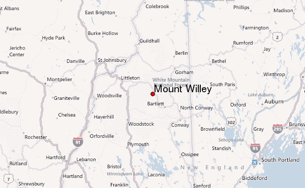
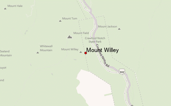
Mount Willey Guide
- Elevation: 1297
- Difficulty: -
- Best months to climb: -
- Convenient center: -
Mount Willey climbers Notes
Kit Clark from UNITED STATES writes:
14 Dec 2014
We went in on the southern end of the Willey Range trail as we had previously done Tom and Field from the Avalon AZ trail earlier.
The access road to the Ethan Pond Trail was closed but was an easy 0.3 mile trek with snowshoes to the trail head. The trail started out with reasonable elevation gain, although the trail was not very well traveled. Several trees had fallen across the trail from previous snow and ice conditions.
The first 1.6 miles although poor trail conditions was not too bad. Once reaching the sign that says 1.1 miles to the summit, that all changes. It is very steep and difficult from that point on with very challenging rock climbs. The ladders were actually not too bad, it was just the continued very steep and poor trail conditions. In hind sight we would have gone back up Avalon and AZ trail to do this. Good luck
2014-12-30 |
Click here to submit your own climbing note for Mount Willey
|
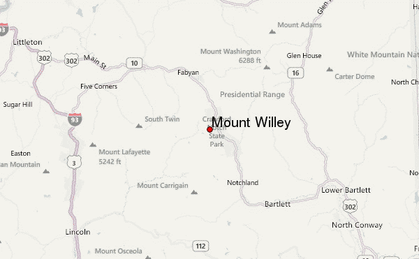
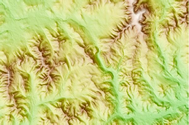
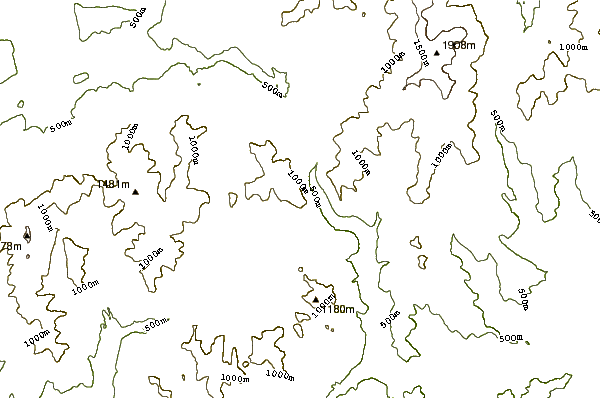
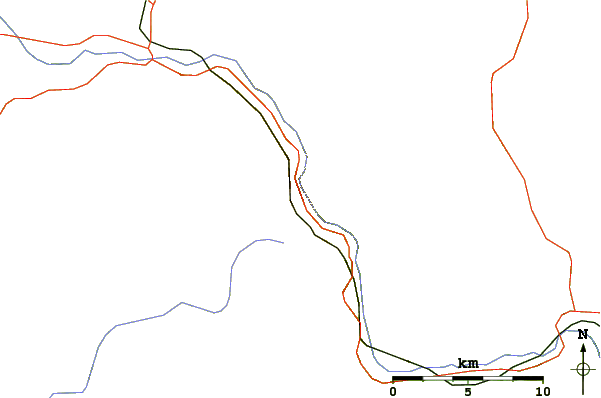
Select Mount Willey Location Map Detail:
Use this relief map to navigate to mountain peaks in the area of Mount Willey.
10 other mountain peaks closest to Mount Willey:
 Mount Willey – Climbing, Hiking & Mountaineering information