– Lat/Long: 44.23° N 71.37° W
 Mount Pierce – Climbing, Hiking & Mountaineering information

Mount Pierce Guide
- Elevation: 1314
- Difficulty: Scramble
- Best months to climb: June, July, August
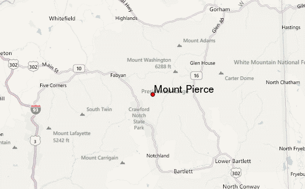
- Convenient center: Bartlett, NH
Mount Pierce climbers NotesBe the first to submit your climbers note! Please submit any useful information about climbing Mount Pierce that may be useful to other climbers. Consider things such as access and accommodation at the base of Mount Pierce, as well as the logistics of climbing to the summit. |
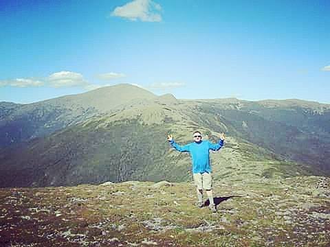
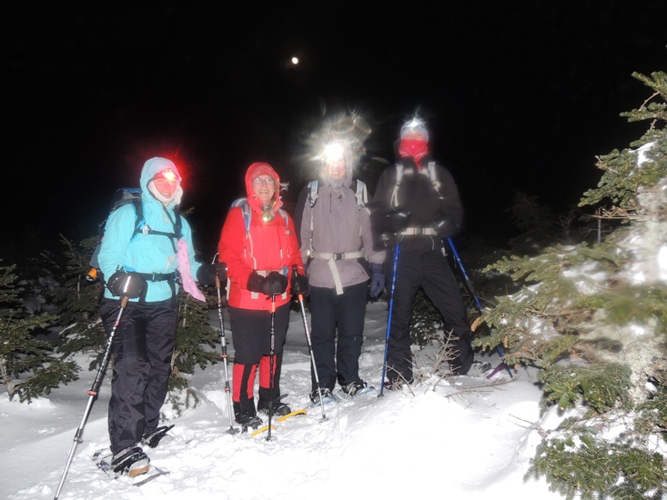
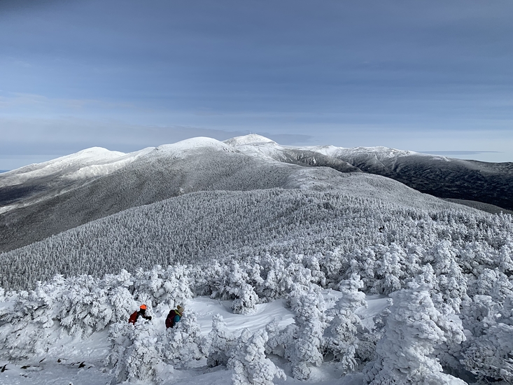
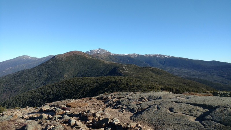
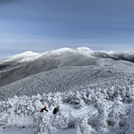
Latest Gallery Images for Mount Pierce


| Select a
mountain summit from the menu |
||
|
Select a Mountain Summit
|
||
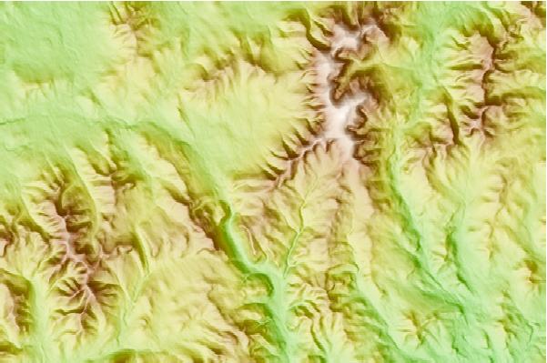
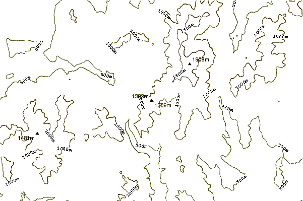
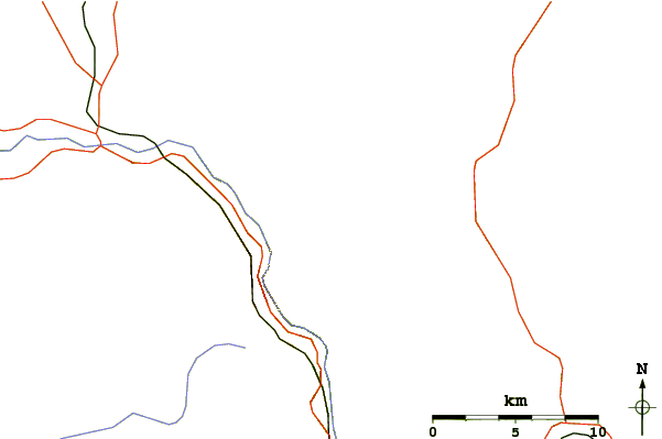
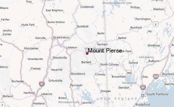
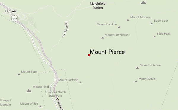
Use this relief map to navigate to mountain peaks in the area of Mount Pierce.
10 other mountain peaks closest to Mount Pierce:
| 1. | Mount Eisenhower (1541 m) | 2.1 km |
| 2. | Mount Jackson (New Hampshire) (1235 m) | 2.7 km |
| 3. | Mount Webster (1192 m) | 3.9 km |
| 4. | Mount Franklin (New Hampshire) (1525 m) | 3.9 km |
| 5. | Mount Isolation (1220 m) | 4.7 km |
| 6. | Mount Monroe (1641 m) | 4.8 km |
| 7. | Mount Davis (New Hampshire) (1164 m) | 5.1 km |
| 8. | Mount Willey (1297 m) | 6.3 km |
| 9. | Mount Field (New Hampshire) (1320 m) | 6.3 km |
| 10. | Boott Spur (1674 m) | 6.4 km |