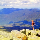
Mount Washington (New Hampshire) Guide
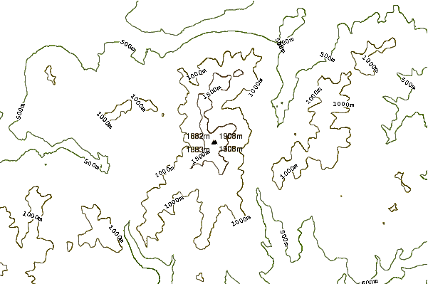
- Elevation: 1917
- Difficulty: Walk up
- Best months to climb: May, June, July, August, September, October
- Convenient center: Pinkham Notch, New Hampshire
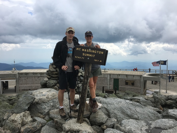
Mount Washington (New Hampshire) climbers Notes
Benoit Jean from CANADA writes:
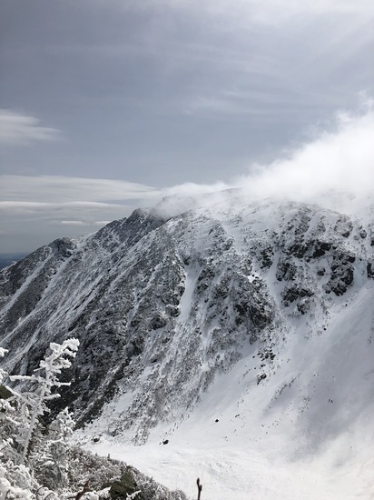
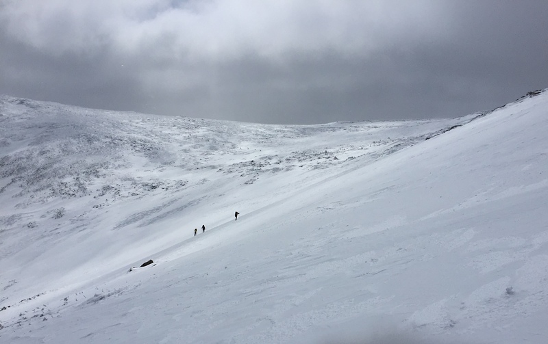
Nous avons fait l'ascension samedi le 10 août 2013. Le temps était ensoleillé mais très venteux. Parti de Pinkham Notch, nous avons emprunté la Boott Spur Trail,puis Davis path et finalement Crawford path. Crawford path contourne le sommet et nous permet de gravir plus lentement le dernier pic. Ce sentier évite aussi d'atteindre le sommet dans le stationnement! Les vents étaient très violents à partir de la limite de la forêt. Force estimée: 140 km/h. Nous avons rencontrés quelques personnes ayant rebroussées chemin après avoir été projetées au sol par la force du vent. Nous sommes redescendus par la Lion head que nous avons trouvé plus difficile que la Boott Spur trail. Je crois que les descentes semblent toujours plus difficiles que les montées. L'an dernier, j'étais descendu par la Boott spur trail et je m'étais dit que ce devait très difficile de monter par cette voie! Nous avbions des sacs à dos de ± 7 kg.
2013-08-12 |
Click here to read 2 more climbing notes for Mount Washington (New Hampshire) or submit your own
|
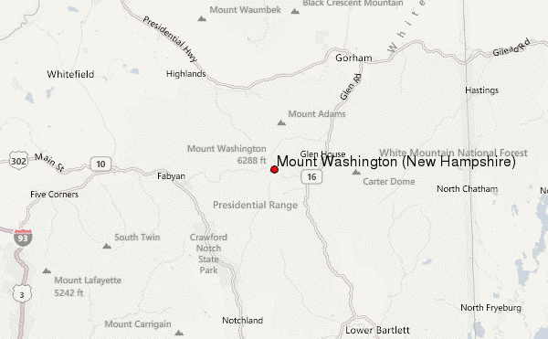
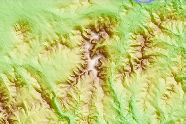
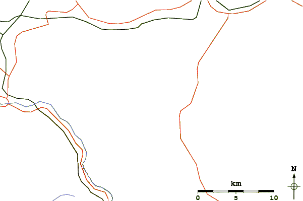
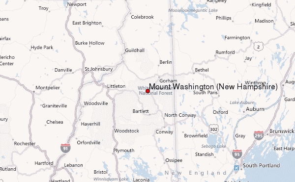
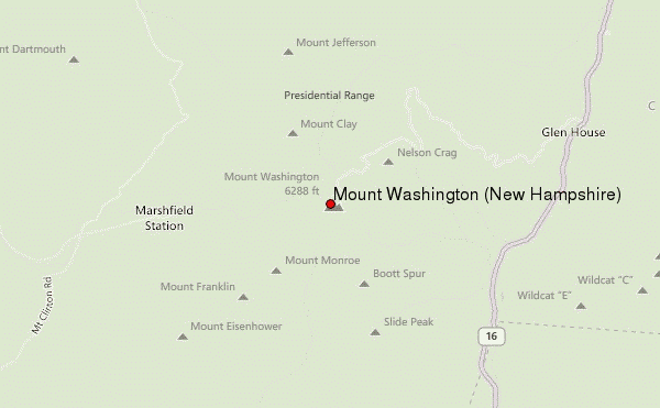
Select Mount Washington (New Hampshire) Location Map Detail:
Use this relief map to navigate to mountain peaks in the area of Mount Washington (New Hampshire).
10 other mountain peaks closest to Mount Washington (New Hampshire):
 Mount Washington (New Hampshire) – Climbing, Hiking & Mountaineering information

