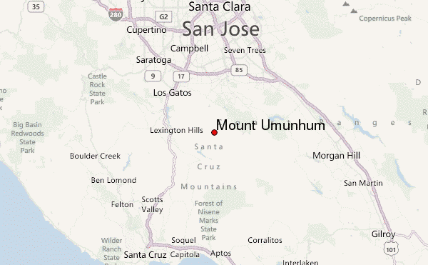
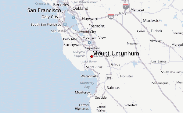
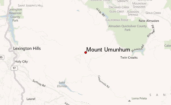
– Lat/Long: 37.16° N 121.90° W
 Mount Umunhum – Climbing, Hiking & Mountaineering information

Mount Umunhum Guide
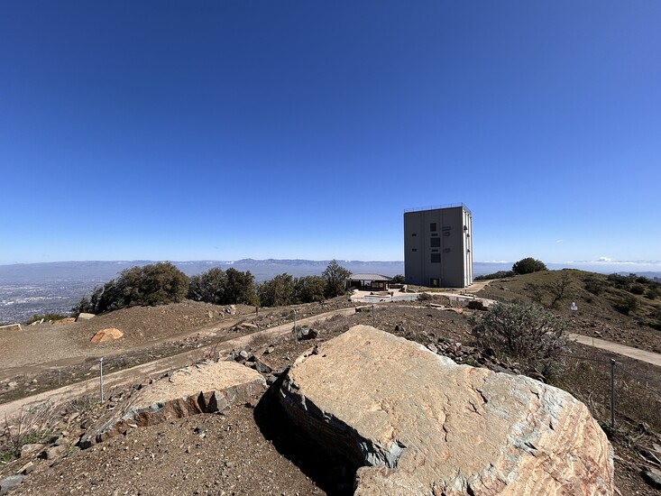
- Elevation: 1062
- Difficulty: -
- Best months to climb: -
- Convenient center: -
Mount Umunhum climbers Notes
Click here to submit your own climbing note for Mount Umunhum |
| Select a
mountain summit from the menu |
||
|
Select a Mountain Summit
|
||
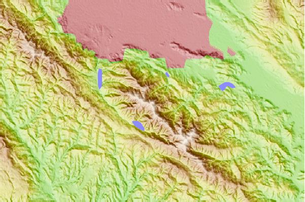
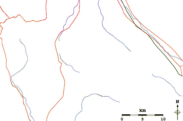
Use this relief map to navigate to mountain peaks in the area of Mount Umunhum.
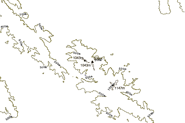
10 other mountain peaks closest to Mount Umunhum:
| 1. | Mount Thayer (1060 m) | 1.8 km |
| 2. | Loma Prieta (1155 m) | 7.4 km |
| 3. | Mount Bielawski (986 m) | 18.6 km |
| 4. | Long Ridge (San Mateo County, California) (792 m) | 27.7 km |
| 5. | Black Mountain (near Los Altos, California) (857 m) | 28.1 km |
| 6. | Mount Hamilton (1283 m) | 31.6 km |
| 7. | Ollie Mayer Hiker's Hut (365 m) | 34.1 km |
| 8. | Mount Sizer (980 m) | 34.6 km |
| 9. | Black Mountain (Milpitas) (1205 m) | 35.4 km |
| 10. | Monument Peak (Milpitas, California) (792 m) | 36.2 km |