– Lat/Long: 54.58° S 158.90° E
 Mount Tulloch (Macquarie Island) – Climbing, Hiking & Mountaineering information

Mount Tulloch (Macquarie Island) Guide
- Elevation: 385
- Difficulty: -
- Best months to climb: -
- Convenient center: -
Mount Tulloch (Macquarie Island) climbers NotesBe the first to submit your climbers note! Please submit any useful information about climbing Mount Tulloch (Macquarie Island) that may be useful to other climbers. Consider things such as access and accommodation at the base of Mount Tulloch (Macquarie Island), as well as the logistics of climbing to the summit. |
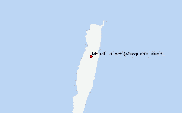
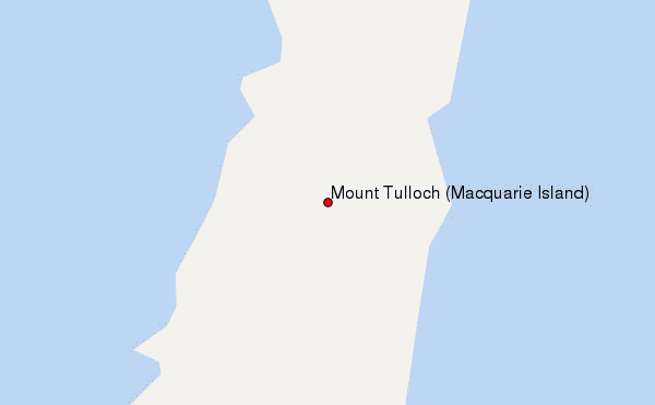
Select Mount Tulloch (Macquarie Island) Location Map Detail:
| Select a
mountain summit from the menu |
||
|
Select a Mountain Summit
|
||
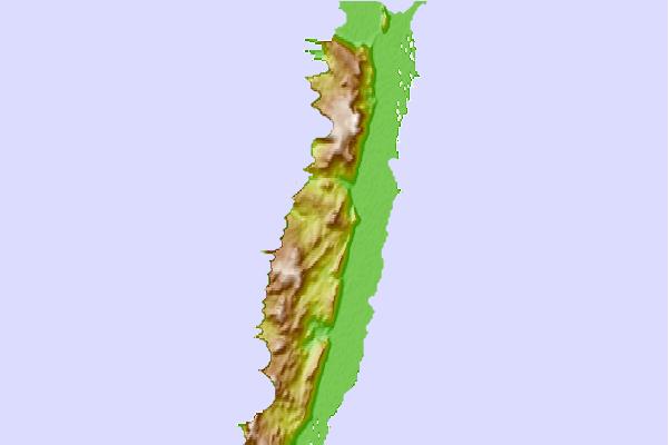
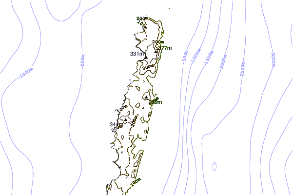
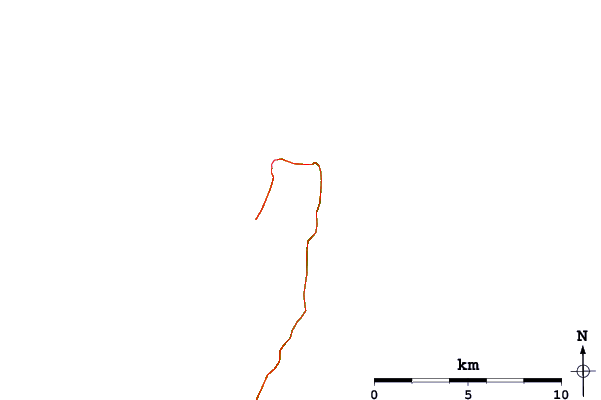
Use this relief map to navigate to mountain peaks in the area of Mount Tulloch (Macquarie Island).
10 other mountain peaks closest to Mount Tulloch (Macquarie Island):
| 1. | Mount Dick (Adam Island) (705 m) | 630.6 km |
| 2. | Cavern Peak (Auckland Island) (650 m) | 645.4 km |
| 3. | Mount Honey (Campbell Island) (550 m) | 713.4 km |
| 4. | South Pegasus Hunters Hut (1 m) | 1023.7 km |
| 5. | North Pegasus Hunters Hut (59 m) | 1025.3 km |
| 6. | Doughboy Bay Hut (33 m) | 1042.1 km |
| 7. | Cavalier Hunters Hut (14 m) | 1049.1 km |
| 8. | Upper Lords Hunters Hut (19 m) | 1052.4 km |
| 9. | Martins Creek Hunters Hut (13 m) | 1053.0 km |
| 10. | Rakeahua Hut (16 m) | 1053.9 km |