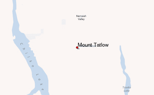
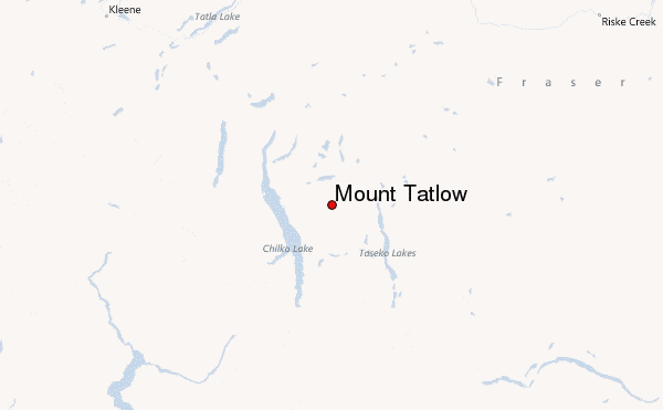
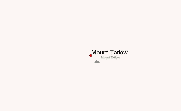
– Lat/Long: 51.38° N 123.86° W
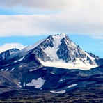
 Mount Tatlow – Climbing, Hiking & Mountaineering information

Mount Tatlow Guide
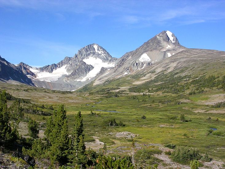
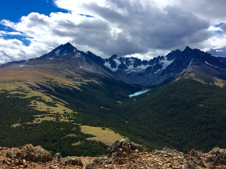
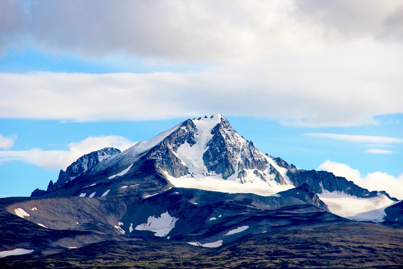
- Elevation: 3063
- Difficulty: -
- Best months to climb: -
- Convenient center: -
Mount Tatlow climbers NotesBe the first to submit your climbers note! Please submit any useful information about climbing Mount Tatlow that may be useful to other climbers. Consider things such as access and accommodation at the base of Mount Tatlow, as well as the logistics of climbing to the summit. |
| Select a
mountain summit from the menu |
||
|
Select a Mountain Summit
|
||
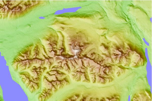
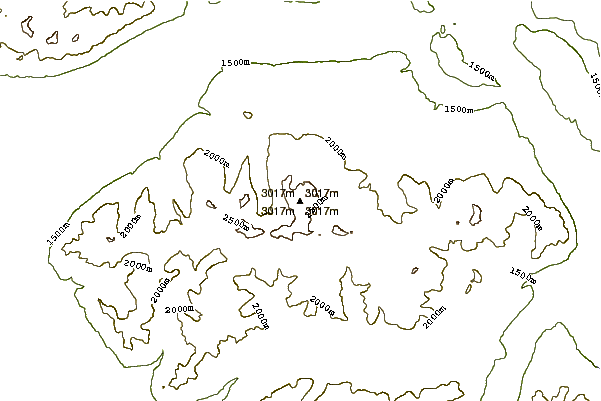
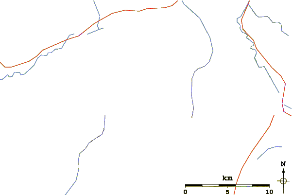
Use this relief map to navigate to mountain peaks in the area of Mount Tatlow.
10 other mountain peaks closest to Mount Tatlow:
| 1. | Taseko Mountain (3063 m) | 31.9 km |
| 2. | Mount Good Hope (3242 m) | 34.4 km |
| 3. | Monmouth Mountain (3182 m) | 43.9 km |
| 4. | Mount Queen Bess (3298 m) | 50.5 km |
| 5. | Sham Hill (1900 m) | 59.3 km |
| 6. | Mount Raleigh (3132 m) | 60.0 km |
| 7. | Tuber Hill (2500 m) | 62.9 km |
| 8. | Bridge River Cones (2500 m) | 72.6 km |
| 9. | Salal Glacier volcanic complex (2400 m) | 74.3 km |
| 10. | Bridge River Vent (1524 m) | 84.9 km |