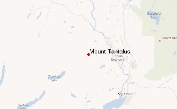
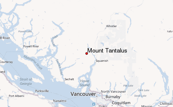
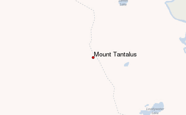
– Lat/Long: 49.82° N 123.33° W
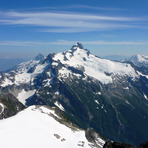
 Mount Tantalus – Climbing, Hiking & Mountaineering information

Mount Tantalus Guide
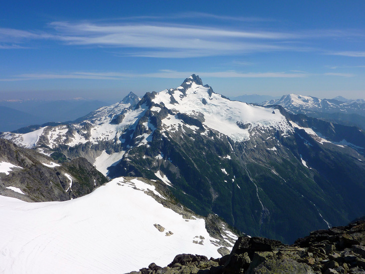
- Elevation: 2608
- Difficulty: -
- Best months to climb: -
- Convenient center: -
Mount Tantalus climbers NotesBe the first to submit your climbers note! Please submit any useful information about climbing Mount Tantalus that may be useful to other climbers. Consider things such as access and accommodation at the base of Mount Tantalus, as well as the logistics of climbing to the summit. |
| Select a
mountain summit from the menu |
||
|
Select a Mountain Summit
|
||
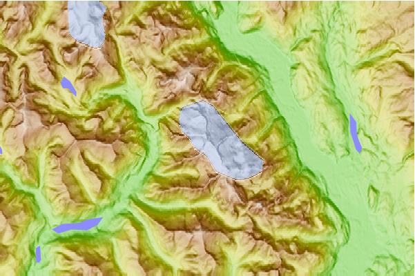
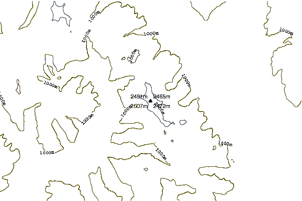
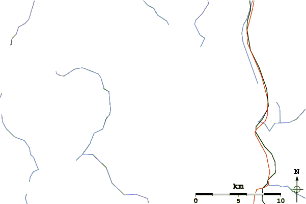
Use this relief map to navigate to mountain peaks in the area of Mount Tantalus.
10 other mountain peaks closest to Mount Tantalus:
| 1. | Jim Haberl Hut (1501 m) | 2.7 km |
| 2. | Serratus Mountain (2321 m) | 3.4 km |
| 3. | The Red Tusk (2680 m) | 5.1 km |
| 4. | Monmouth Creek complex (510 m) | 16.7 km |
| 5. | Stawamus Chief (702 m) | 20.2 km |
| 6. | Watts Point volcanic centre (240 m) | 20.4 km |
| 7. | Stawamus Squaw (665 m) | 20.5 km |
| 8. | Tricouni Peak (2122 m) | 22.6 km |
| 9. | Round Mountain (volcano) (1646 m) | 22.7 km |
| 10. | Atwell Peak (2655 m) | 23.1 km |