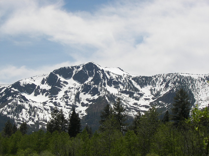
– Lat/Long: 38.91° N 120.10° W

UsMount Tallac – Climbing, Hiking & Mountaineering information

Placeholder

Mount Tallac mountain guide

Mount Tallac photo

Mount Tallac

Photo credit: Rabit 115

peak, Mount Tallac photo

Mount Tallac

Photo credit: daniel

halfway, Mount Tallac photo

Mount Tallac

Photo credit: daniel

peak, Mount Tallac photo

Mount Tallac

Photo credit: daniel

July Blooms on Tallac, Mount Tallac photo

Mount Tallac

Photo credit: Lynn Norton

  • Elevation: 2967 m
  • Difficulty: Walk up
  • Best months to climb: June, July, August, September
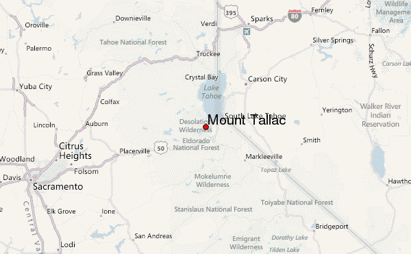
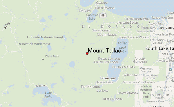
  • Convenient center: South Lake Tahoe

Mount Tallac Climbing Notes

mayumi from UNITED STATES writes:

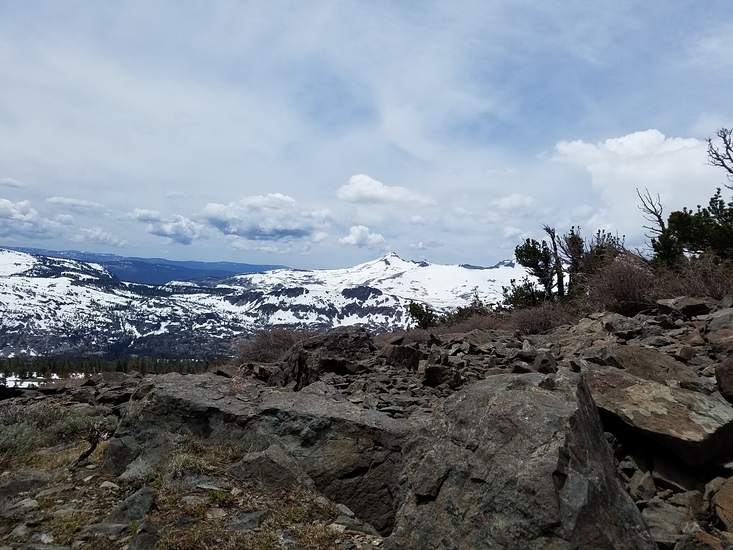
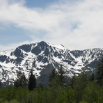
Hiked up to Mt. Tallac on 6/22/13. Patches of snow at higher elevation on the ground but easy to bypass or climb on and over. A nice warm day. Perfect day to hike Mt. Tallac.

2013-06-24

Click here to submit your own climbing note for Mount Tallac

Mount Tallac Location Map

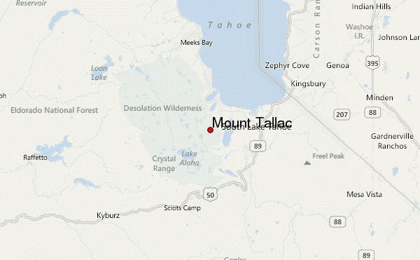
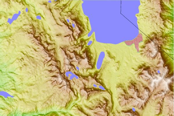
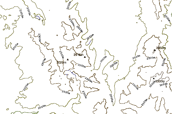
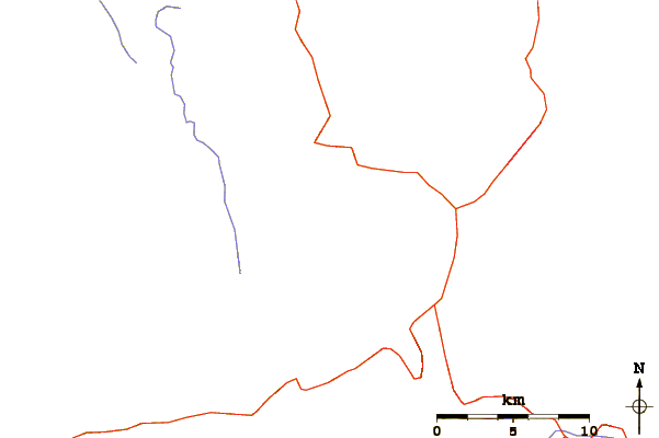
Select Mount Tallac Location Map Detail:


Latest Gallery Images for Mount Tallac

visit the
gallery
or click to view
peak

Upload your photo of Mount Tallac

Select a mountain summit from the menu
Select a Mountain Summit
Surf breaks located close to Mount Tallac Mountain peaks around Mount Tallac Roads and rivers around Mount Tallac

Use this relief map to navigate to mountain peaks in the area of Mount Tallac.

10 other mountain peaks closest to Mount Tallac:

1. Maggies Peak (2651 m) 3.2 km
2. Angora Peak (2617 m) 4.9 km
3. Echo Peak (2711 m) 5.9 km
4. Phipps Peak (2814 m) 7.1 km
5. Mount Price (California) (3040 m) 8.1 km
6. Ralston Peak (2815 m) 8.1 km
7. Talking Mountain (2689 m) 8.5 km
8. Pyramid Peak (California) (3043 m) 8.6 km
9. Middle Mountain (2540 m) 9.2 km
10. Rubicon Peak (2799 m) 9.7 km