– Lat/Long: 35.62° N 139.24° E
 Mount Takao – Climbing, Hiking & Mountaineering information

Mount Takao Guide
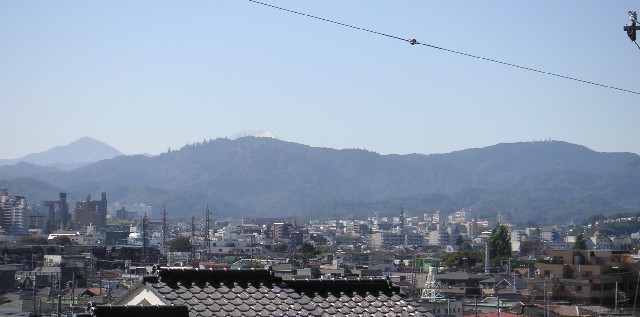
- Elevation: 599
- Difficulty: -
- Best months to climb: -
- Convenient center: -
Mount Takao climbers Notes
|
| Select a
mountain summit from the menu |
||
|
Select a Mountain Summit
|
||
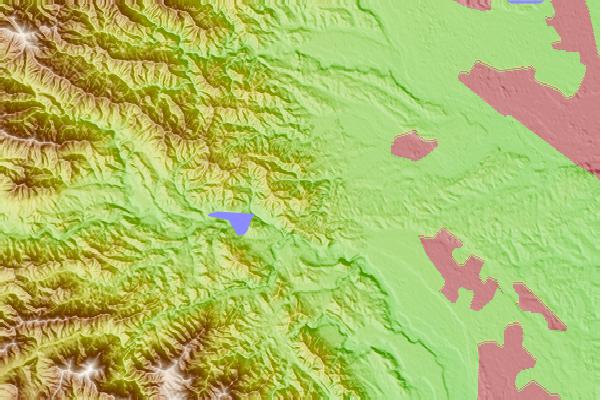
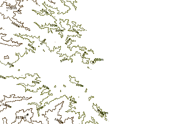

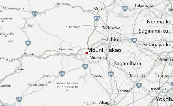
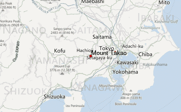
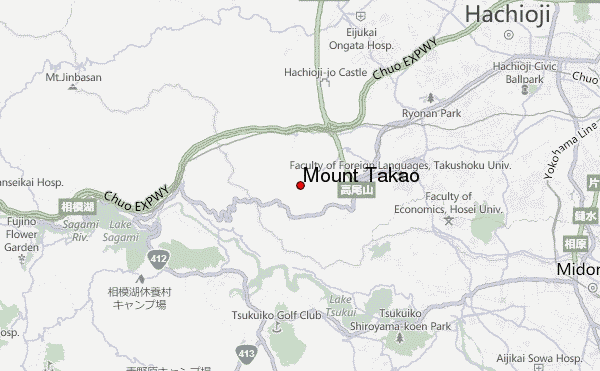
Use this relief map to navigate to mountain peaks in the area of Mount Takao.
10 other mountain peaks closest to Mount Takao:
| 1. | 箒沢荘 (291 m) | 13.0 km |
| 2. | Mount Hiru (1673 m) | 18.1 km |
| 3. | 鍋割山荘 (1672 m) | 18.1 km |
| 4. | 緑の休暇村センター (1564 m) | 18.3 km |
| 5. | Mount Tanzawa (1567 m) | 18.3 km |
| 6. | 作治小屋 (494 m) | 18.6 km |
| 7. | 青ヶ岳山荘 (549 m) | 19.3 km |
| 8. | 神ノ川ヒュッテ (1371 m) | 20.2 km |
| 9. | Mount Shindainichi (1340 m) | 20.3 km |
| 10. | 駒止茶屋 (1463 m) | 20.3 km |