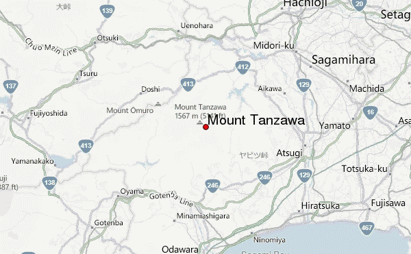
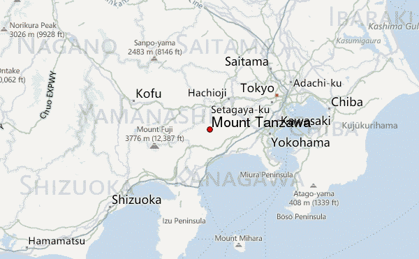
– Lat/Long: 35.47° N 139.16° E
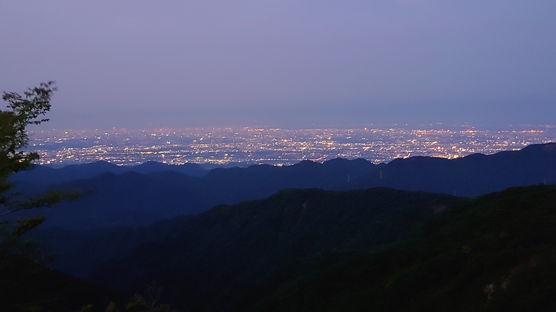
 Mount Tanzawa – Climbing, Hiking & Mountaineering information

Mount Tanzawa Guide
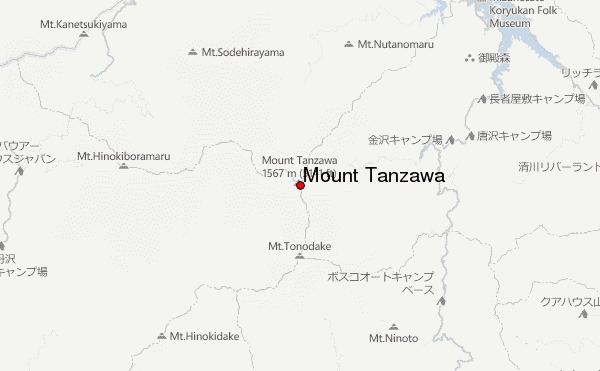
- Elevation: 1567
- Difficulty: -
- Best months to climb: -
- Convenient center: -
Mount Tanzawa climbers NotesBe the first to submit your climbers note! Please submit any useful information about climbing Mount Tanzawa that may be useful to other climbers. Consider things such as access and accommodation at the base of Mount Tanzawa, as well as the logistics of climbing to the summit. |
| Select a
mountain summit from the menu |
||
|
Select a Mountain Summit
|
||
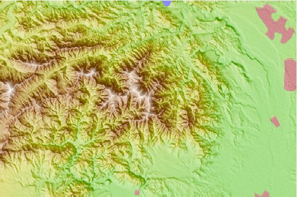
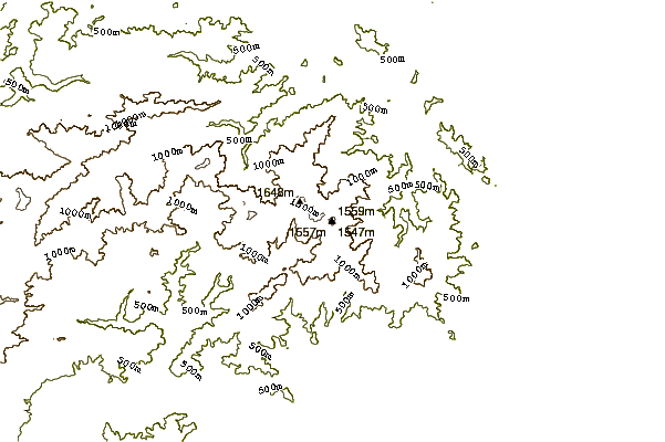
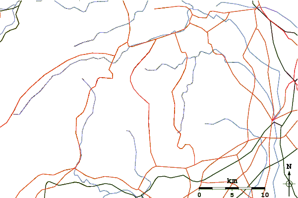
Use this relief map to navigate to mountain peaks in the area of Mount Tanzawa.
10 other mountain peaks closest to Mount Tanzawa:
| 1. | 緑の休暇村センター (1564 m) | 0.0 km |
| 2. | 駒止茶屋 (1463 m) | 2.2 km |
| 3. | 神ノ川ヒュッテ (1371 m) | 2.5 km |
| 4. | 鍋割山荘 (1672 m) | 2.6 km |
| 5. | Mount Hiru (1673 m) | 2.6 km |
| 6. | Mount Shindainichi (1340 m) | 2.9 km |
| 7. | Mount Tō (1491 m) | 2.9 km |
| 8. | どんぐり山荘 (1295 m) | 3.2 km |
| 9. | 丹沢ホーム (1276 m) | 3.9 km |
| 10. | 蛭ヶ岳山荘 (918 m) | 4.2 km |