– Lat/Long: 44.23° S 169.77° E
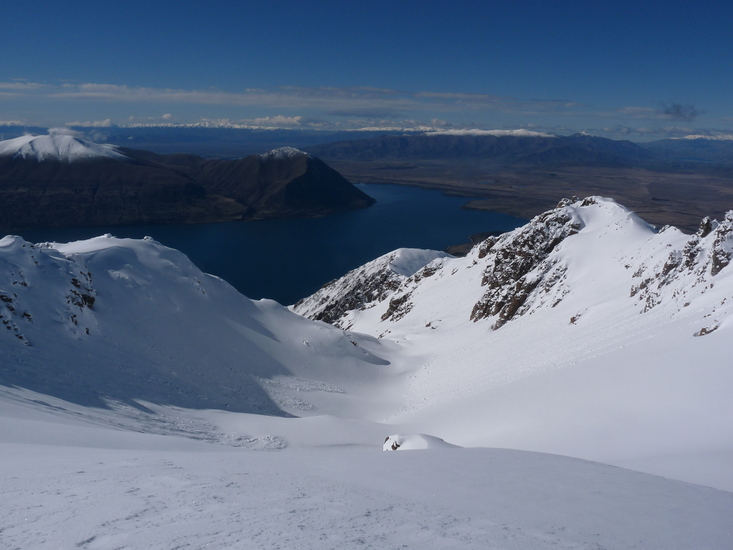
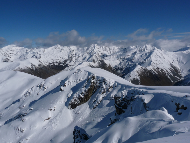
 Mount Sutton – Climbing, Hiking & Mountaineering information

Mount Sutton Guide
- Elevation: 2007
- Difficulty: -
- Best months to climb: -
- Convenient center: Twizel
Mount Sutton climbers NotesBe the first to submit your climbers note! Please submit any useful information about climbing Mount Sutton that may be useful to other climbers. Consider things such as access and accommodation at the base of Mount Sutton, as well as the logistics of climbing to the summit. |

10 other mountain peaks closest to Mount Sutton:
| 1. | Maitland Hut (960 m) | 2.4 km |
| 2. | Snowy Gorge Hut (1119 m) | 8.2 km |
| 3. | South Temple Hut (822 m) | 10.8 km |
| 4. | Shamrock Hut (825 m) | 11.8 km |
| 5. | Hagens Hut (858 m) | 13.1 km |
| 6. | Ahuriri Base Hut (812 m) | 14.2 km |
| 7. | Top Hut (957 m) | 14.5 km |
| 8. | Hideaway Hut (903 m) | 14.7 km |
| 9. | Top Dingle Hut (906 m) | 17.6 km |
| 10. | Bull Flat Hut (418 m) | 20.0 km |