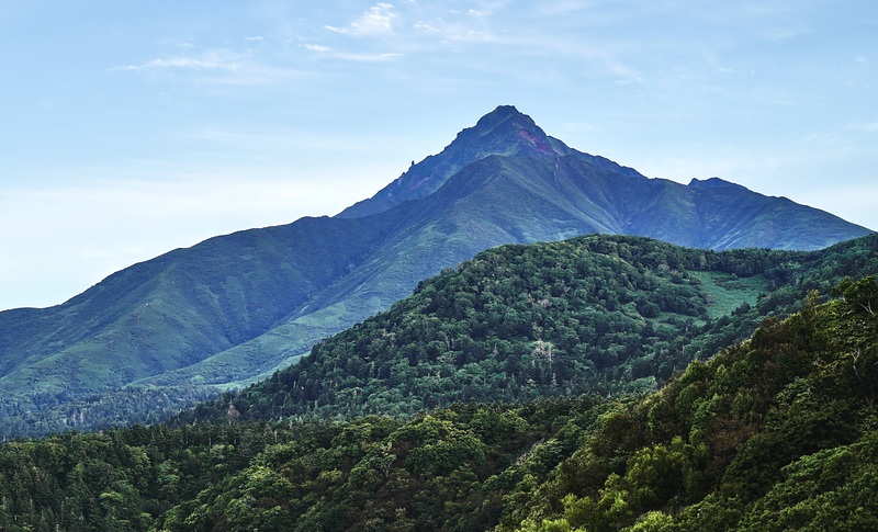
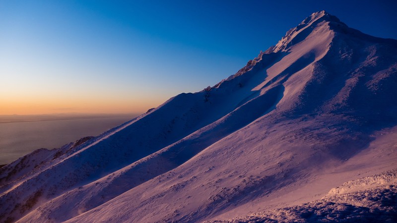
Climbed on Aug 30, 2017, partly cloudy, temperature about 5~10C at summit.
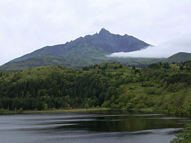
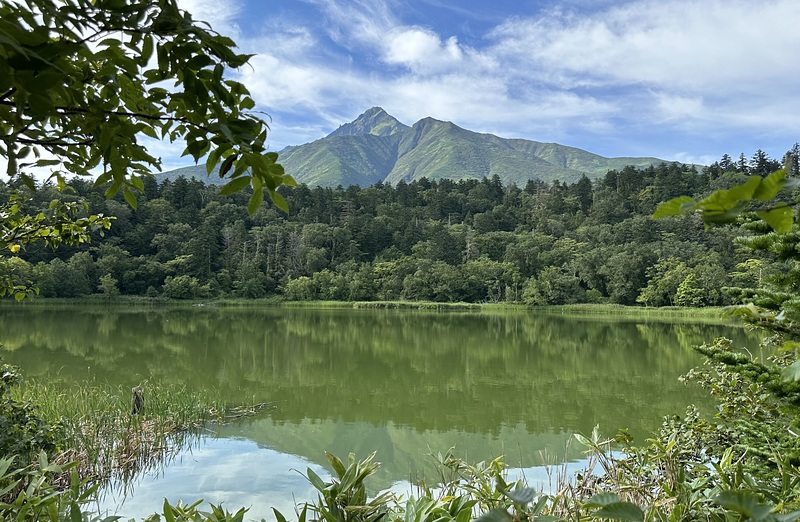
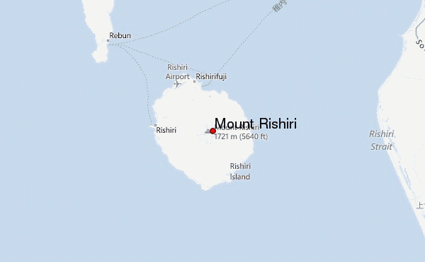
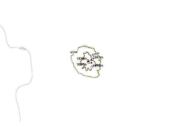
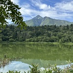
The summit of Mount Rishiri (利尻山) is 1,721m, but the starting point of the trail is at just 210m. The vertical ascent is thus over 1,500m, even greater than Mt. Fuji if you start at the fifth station. The official recommended time is 12 hours: 6 hours up, 4 hours down, and 2 hours for lunch, rest etc. It will be a real full day hike for most people.
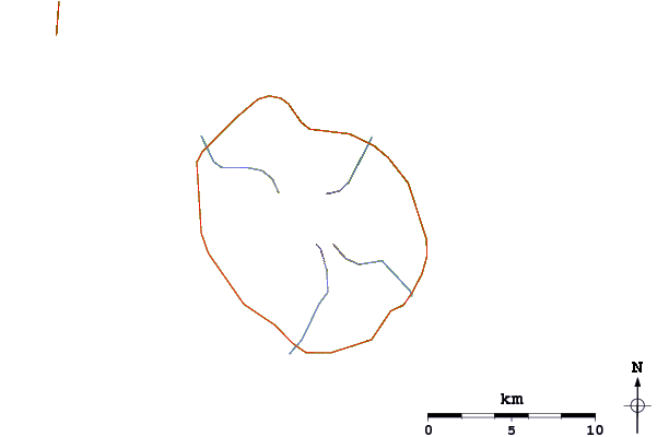
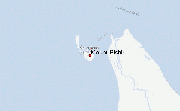
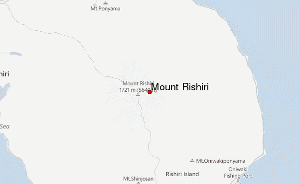
There are two trails to the peak. One start from the North near the main city of Oshidomari (鴛泊) where the main ferry terminal is located. The other one is from the West near the city of Kutsugata (沓形). Although the Kutsugata trail starts from a higher altitude of 420m and is shorter, it has several difficult and dangerous sections near the peak and is not recommended for ordinary hikers.
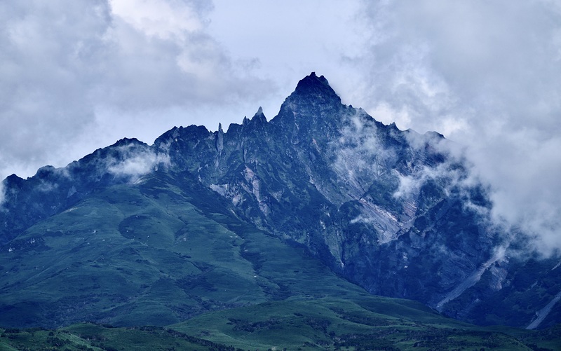
The Oshidomari trial is a rather safe trail. From start (210m) to station 9 (1410m) is mostly gentle ascend and majority of the trail have trees/bushes on both sides that protect you from from both sun, wind, and cliff. From station 9 to the peak the ascend is faster and in a few spots you may need to use your hand. The trail also becomes more exposed and the wind could be quite strong. In the final approach to the summit, there are a few spots that you need to be careful and pay more attention, but I won't classify them as "dangerous". Works are currently going on to improve the condition of the trail of this final approach, so the entire trail might become "very safe" in the near future. Return is through the same trail.
I am an average speed hiker, and it took me 1.5hr to reach station 6 (760m), another 1.5hr to station 8.5 (~1,210m with a refugee hut). Rested 10min there, then another 1.5hr to the peak, total 4h40m up. Because of my weak knee, going down is rather slow for me, more than 1hr from peak to station 9 (longer than it took for my ascend) and total 4h20m back to the starting point. Adding the 15min stop at the peak, the entire hike took 9h15m.
I consider the main challenge is not the 1,500m ascend, but is the long time required. About 10min after start there is a small stream with potable water (it is in fact one of the "hundred best water in Japan" 名水百選) but then there is nothing else afterward. In a hot sunny day, 2L of water is minimum, 3L recommended, plus enough food that could give you the energy to walk up 1,500m.
One should also pay attention to the sunset time. Mount Rishini is at the very east end of the GMT+9 time zone. This means that both sunrise and sunset is earlier than normal. With the trail on the north side of the mountain (the sun is on the south side) and trees along, it gets dark much earlier than one might expect. It is thus best to start your hike as early as possible.
There are a couple of pensions in Oshidomari that will give a very early morning free drop-off (and finished pick-up) to the starting point and saved you about an extra 1 hour walk each way. I stayed in Rera Mosir Pension and they have such service, but the ride departs at 4am. I started my hike at 4:15am and need to use flashlight for the first half hour.
 Mount Rishiri – Climbing, Hiking & Mountaineering information

.jpg)