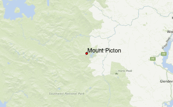
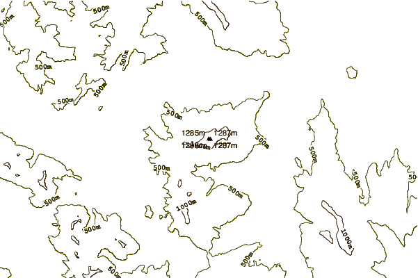
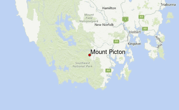
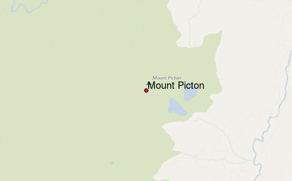
– Lat/Long: 43.16° S 146.61° E
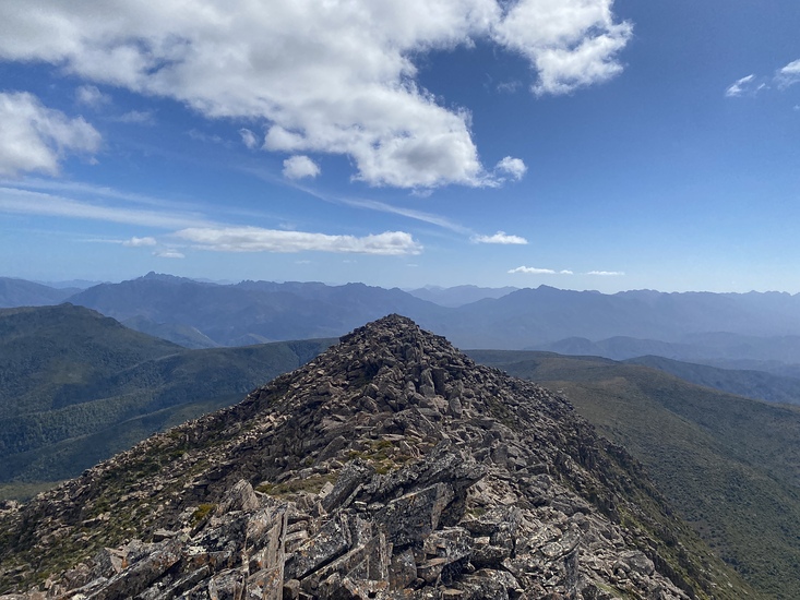
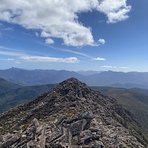
 Mount Picton – Climbing, Hiking & Mountaineering information

Mount Picton Guide
- Elevation: 1327
- Difficulty: -
- Best months to climb: -
- Convenient center: Geeveston
Mount Picton climbers NotesBe the first to submit your climbers note! Please submit any useful information about climbing Mount Picton that may be useful to other climbers. Consider things such as access and accommodation at the base of Mount Picton, as well as the logistics of climbing to the summit. |
| Select a
mountain summit from the menu |
||
|
Select a Mountain Summit
|
||
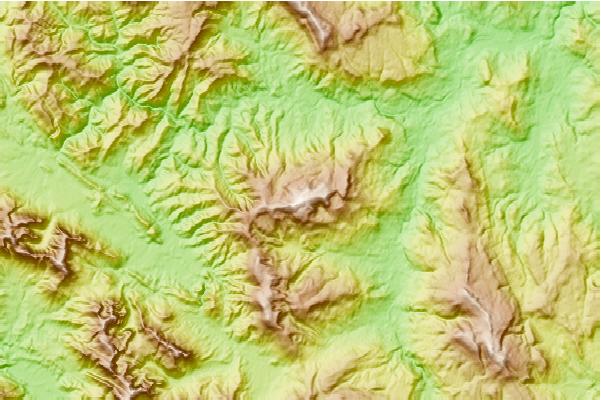
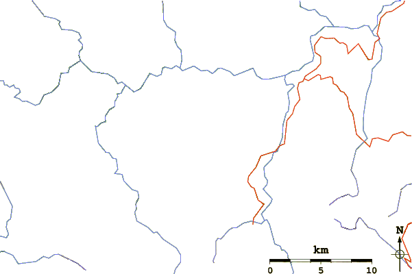
Use this relief map to navigate to mountain peaks in the area of Mount Picton.
10 other mountain peaks closest to Mount Picton:
| 1. | Hartz Mountains (Tasmania) (1253 m) | 14.6 km |
| 2. | Federation Peak (1274 m) | 16.8 km |
| 3. | Adamsons Peak (1225 m) | 28.0 km |
| 4. | Mount Anne (1423 m) | 28.0 km |
| 5. | Precipitous Bluff (1145 m) | 35.2 km |
| 6. | Terminal Peak (785 m) | 38.3 km |
| 7. | Pindars Peak (1230 m) | 40.4 km |
| 8. | Mount Lloyd Jones (982 m) | 40.5 km |
| 9. | Secheron Peak (1068 m) | 41.2 km |
| 10. | Right Angle Peak (954 m) | 41.9 km |