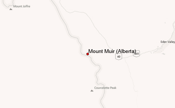
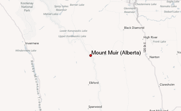
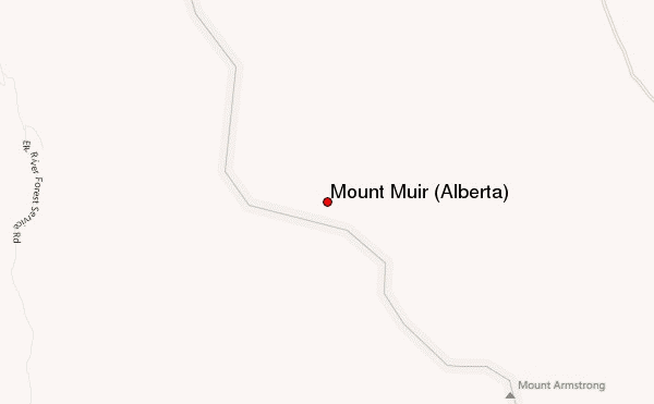
– Lat/Long: 50.40° N 114.83° W
 Mount Muir (Alberta) – Climbing, Hiking & Mountaineering information

Mount Muir (Alberta) Guide
- Elevation: 2758
- Difficulty: -
- Best months to climb: -
- Convenient center: -
Mount Muir (Alberta) climbers NotesBe the first to submit your climbers note! Please submit any useful information about climbing Mount Muir (Alberta) that may be useful to other climbers. Consider things such as access and accommodation at the base of Mount Muir (Alberta), as well as the logistics of climbing to the summit. |
| Select a
mountain summit from the menu |
||
|
Select a Mountain Summit
|
||
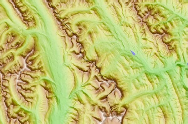
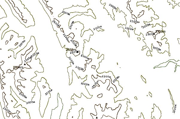
Use this relief map to navigate to mountain peaks in the area of Mount Muir (Alberta).
10 other mountain peaks closest to Mount Muir (Alberta):
| 1. | Mount Strachan (2687 m) | 1.6 km |
| 2. | Mount McPhail (2886 m) | 2.9 km |
| 3. | Mount Maclaren (2843 m) | 4.9 km |
| 4. | Mount Bishop (Canada) (2850 m) | 6.1 km |
| 5. | Mount Armstrong (2823 m) | 6.5 km |
| 6. | Mount Bolton (2705 m) | 7.4 km |
| 7. | Mount Loomis (2798 m) | 10.0 km |
| 8. | Mount Cornwell (Canada) (2972 m) | 11.0 km |
| 9. | Baril Peak (3000 m) | 11.8 km |
| 10. | Mount Odlum (2753 m) | 14.4 km |