– Lat/Long: 43.56° S 170.17° E
 Mount Lendenfeld – Climbing, Hiking & Mountaineering information

Mount Lendenfeld Guide
- Elevation: 3192
- Difficulty: Basic Snow and Ice Climb
- Best months to climb: January, February, March, September, October, November, December
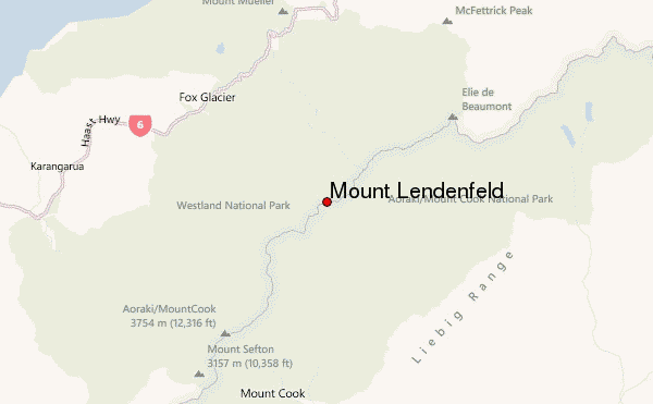
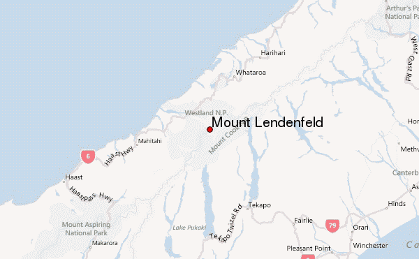
- Convenient center: Mount Cook Village / Franz Josef Village
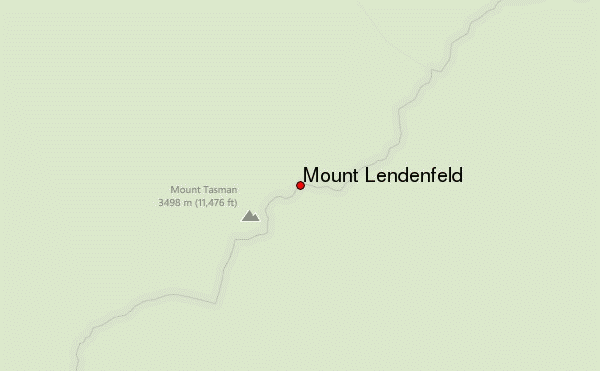
Mount Lendenfeld, is located in the Mount Cook National Park, South Island. Easy approch from the Grand Plateau, or from the West from Marcel Col.Its climbs are varied in difficulty, mixed rocks, snow, ice. If climbing is done from the Grand Plateau, the Plateau Hut is used. From the West, Pioneer Hut is used. (Mount Cook Guidebook by Hugh Logan)
Mount Lendenfeld climbers NotesBe the first to submit your climbers note! Please submit any useful information about climbing Mount Lendenfeld that may be useful to other climbers. Consider things such as access and accommodation at the base of Mount Lendenfeld, as well as the logistics of climbing to the summit. |
| Select a
mountain summit from the menu |
||
|
Select a Mountain Summit
|
||
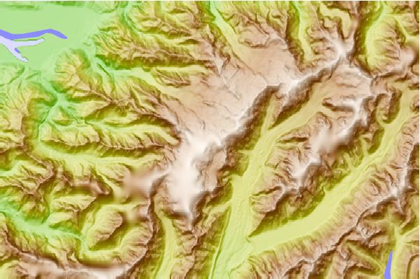
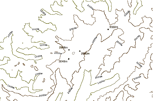
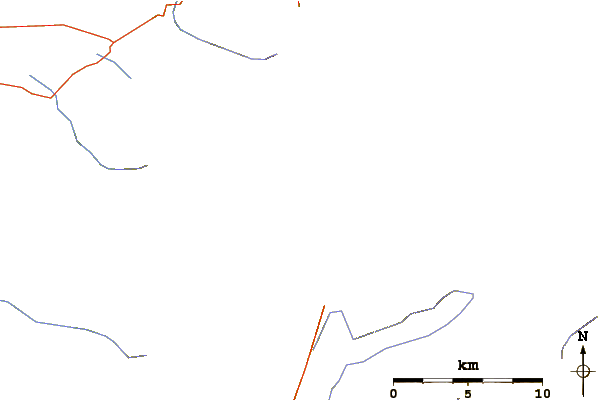
Use this relief map to navigate to mountain peaks in the area of Mount Lendenfeld.
10 other mountain peaks closest to Mount Lendenfeld:
| 1. | Mount Dixon (Mid Canterbury) (3004 m) | 1.1 km |
| 2. | Mount Haast (3140 m) | 1.4 km |
| 3. | Silberhorn (3303 m) | 1.7 km |
| 4. | Mount Tasman (3498 m) | 1.7 km |
| 5. | Mount Haidinger (3068 m) | 2.7 km |
| 6. | Plateau Hut (2193 m) | 2.9 km |
| 7. | Pioneer Hut (2366 m) | 3.4 km |
| 8. | Mount Vancouver, New Zealand (3309 m) | 3.5 km |
| 9. | Mount Dampier (3440 m) | 3.9 km |
| 10. | Douglas Peak (3087 m) | 3.9 km |