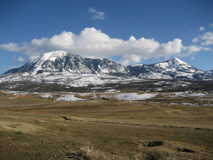
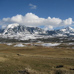
Mount Lamborn Guide
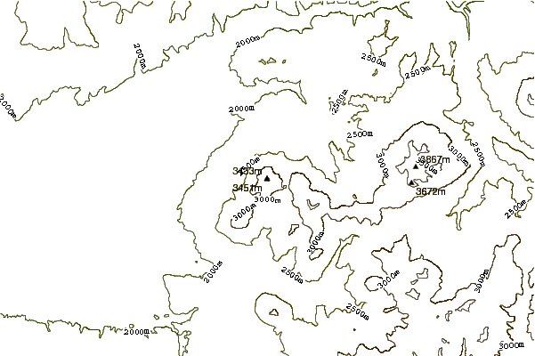
- Elevation: 3474
- Difficulty: -
- Best months to climb: -
- Convenient center: -
Mount Lamborn climbers Notes
Robert Gray from UNITED STATES writes:
It is rumored that the name of the mountain came from the rockslide which created the lamb-like feature on the eastern side of Mount Lamborn. Does anyone know more facts about this rumor? When did it occur, for instance, the rockslide?
2017-07-25 |
Click here to submit your own climbing note for Mount Lamborn
|
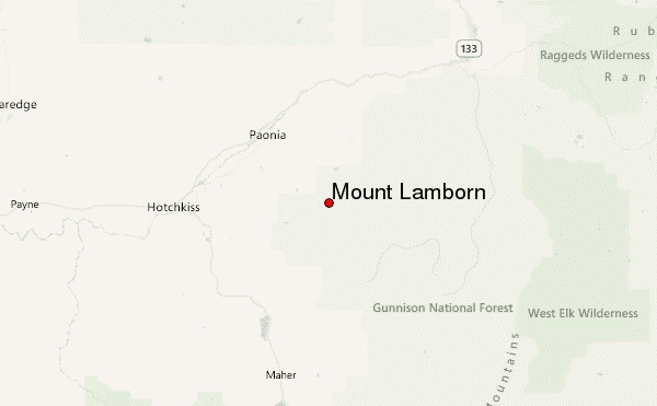
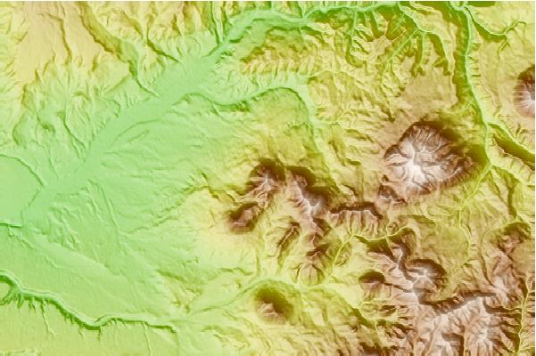
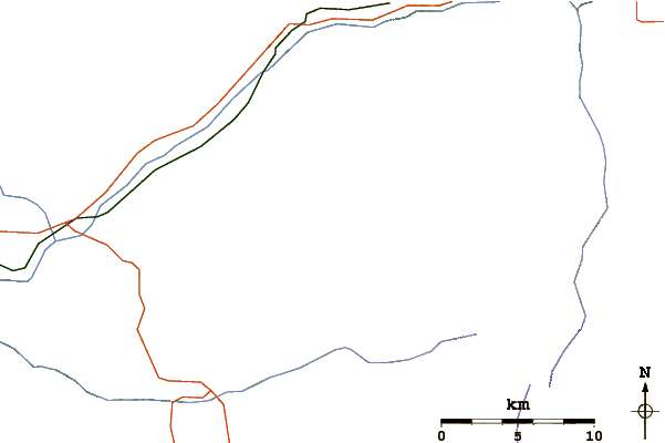
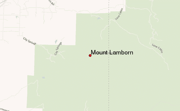
Select Mount Lamborn Location Map Detail:
Use this relief map to navigate to mountain peaks in the area of Mount Lamborn.
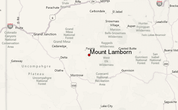
10 other mountain peaks closest to Mount Lamborn:
 Mount Lamborn – Climbing, Hiking & Mountaineering information