– Lat/Long: 44.08° N 71.49° W
 Mount Hancock (New Hampshire) – Climbing, Hiking & Mountaineering information

Mount Hancock (New Hampshire) Guide


- Elevation: 1335
- Difficulty: -
- Best months to climb: -
- Convenient center: -
Mount Hancock (New Hampshire) climbers NotesBe the first to submit your climbers note! Please submit any useful information about climbing Mount Hancock (New Hampshire) that may be useful to other climbers. Consider things such as access and accommodation at the base of Mount Hancock (New Hampshire), as well as the logistics of climbing to the summit. |
| Select a
mountain summit from the menu |
||
|
Select a Mountain Summit
|
||
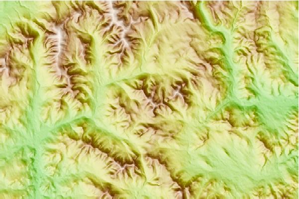
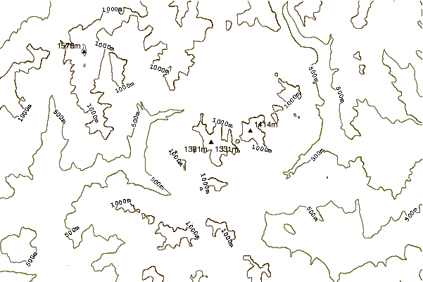
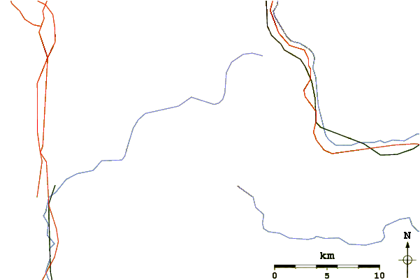
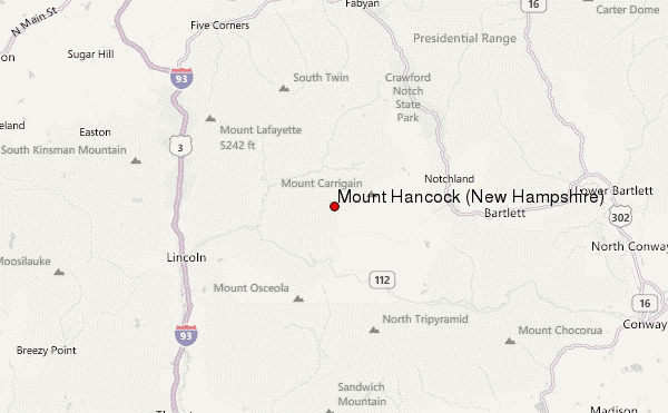
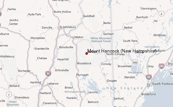
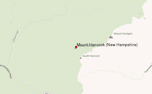
Use this relief map to navigate to mountain peaks in the area of Mount Hancock (New Hampshire).
10 other mountain peaks closest to Mount Hancock (New Hampshire):
| 1. | Mount Carrigain (1433 m) | 3.9 km |
| 2. | Mount Bond (1432 m) | 8.2 km |
| 3. | Mount Nancy (1197 m) | 8.3 km |
| 4. | East Peak Mount Osceola (1267 m) | 8.9 km |
| 5. | Loon Mountain Resort (925 m) | 9.3 km |
| 6. | Mount Osceola (1315 m) | 9.7 km |
| 7. | Mount Guyot (New Hampshire) (1396 m) | 9.9 km |
| 8. | Scar Ridge (1150 m) | 10.1 km |
| 9. | Mount Zealand (1300 m) | 10.9 km |
| 10. | Mount Flume (1319 m) | 11.1 km |
