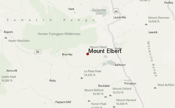
– Lat/Long: 39.12° N 106.44° W
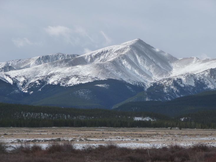
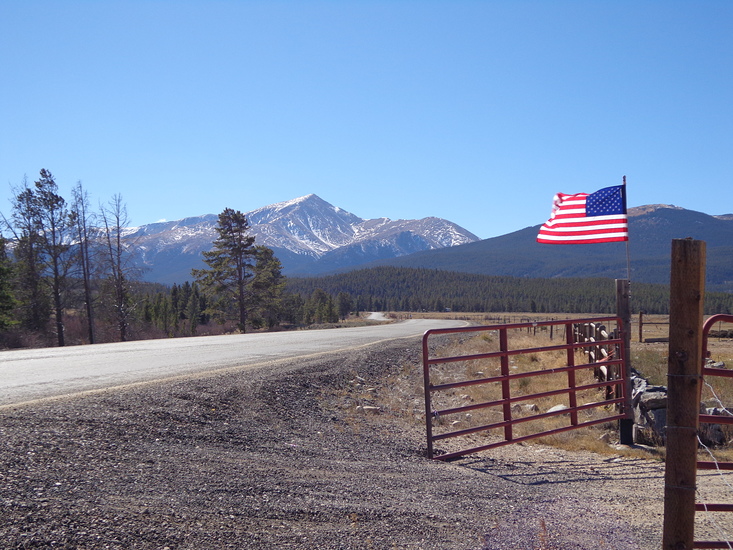
 Mount Elbert – Climbing, Hiking & Mountaineering information

Mount Elbert Guide


- Elevation: 4399
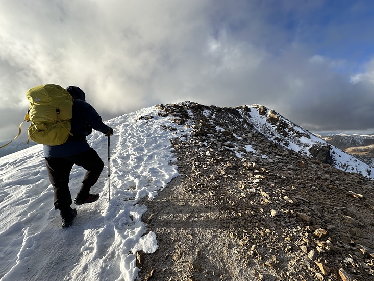
- Difficulty: Walk up
- Best months to climb: June, July, August, September
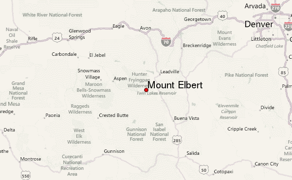
- Convenient center: Leadville, Colorado
Mount Elbert climbers Notes
Click here to read 4 more climbing notes for Mount Elbert or submit your own |
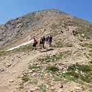
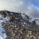
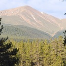
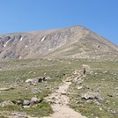
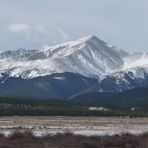
Latest Gallery Images for Mount Elbert
| Select a
mountain summit from the menu |
||
|
Select a Mountain Summit
|
||
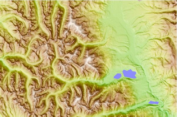
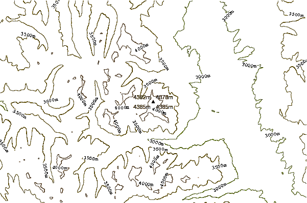
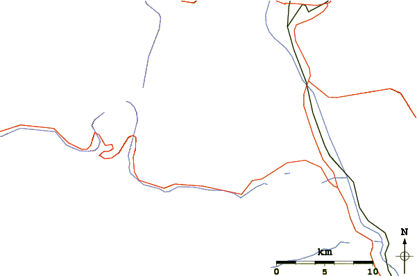
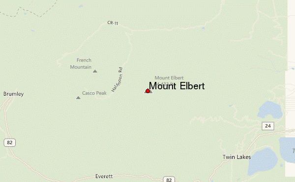
Use this relief map to navigate to mountain peaks in the area of Mount Elbert.
10 other mountain peaks closest to Mount Elbert:
| 1. | Mount French (4249 m) | 3.4 km |
| 2. | Mount Massive (4392 m) | 8.1 km |
| 3. | La Plata Peak (4370 m) | 10.1 km |
| 4. | Ouray Peak (3949 m) | 12.5 km |
| 5. | Grizzly Peak (4264 m) | 15.6 km |
| 6. | Skinner Hut (3545 m) | 16.6 km |
| 7. | Betty Bear Hut (3383 m) | 16.8 km |
| 8. | Mount Belford (4327 m) | 18.9 km |
| 9. | Huron Peak (4268 m) | 19.2 km |
| 10. | Mount Oxford (4314 m) | 19.4 km |