 Mount Douglas – Climbing, Hiking & Mountaineering information

Mount Douglas Guide
- Elevation: 2187
- Difficulty: -
- Best months to climb: March, April, May June
- Convenient center: Franz Josef Village
Mount Douglas is located at the head of the Fox Glacier, and on the West of Mount Cook National Park,in the South Island of New Zealand. Easy access from the Pioneer Hut.From the East the best route is by the Governor Col, or from Plateau Hut. From the West is reached up the Fox Glacier. The standard route is the Nord Divide Ridge between Glacier Peak and Douglas Peak. Grade 3- Alpine. See Mount Cook Guidebook by Hugh Logan
Mount Douglas climbers NotesBe the first to submit your climbers note! Please submit any useful information about climbing Mount Douglas that may be useful to other climbers. Consider things such as access and accommodation at the base of Mount Douglas, as well as the logistics of climbing to the summit. |
| Select a
mountain summit from the menu |
||
|
Select a Mountain Summit
|
||
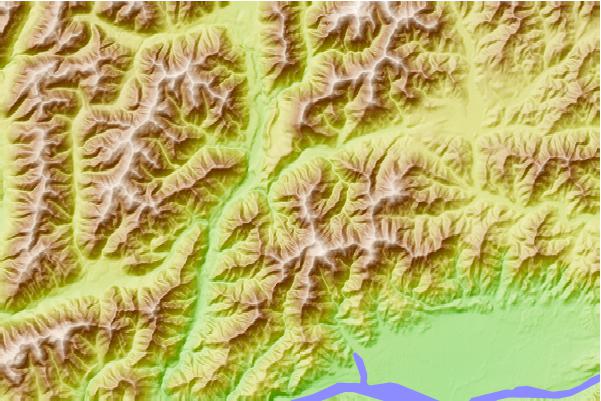
Use this relief map to navigate to mountain peaks in the area of Mount Douglas.
10 other mountain peaks closest to Mount Douglas:
| 1. | Stony Stream Bivvy (743 m) | 2.4 km |
| 2. | Scotties Hut (658 m) | 2.4 km |
| 3. | Pool Hut (647 m) | 6.7 km |
| 4. | Jervois Hut (725 m) | 7.1 km |
| 5. | Steyning Hut (649 m) | 7.9 km |
| 6. | Tutu Hut (604 m) | 11.7 km |
| 7. | Anne Hut (886 m) | 14.8 km |
| 8. | Magdalen Hut (729 m) | 15.3 km |
| 9. | Rokeby Hut (858 m) | 15.4 km |
| 10. | Boyle Flat Hut (817 m) | 15.7 km |