Mount Catherine Guide
- Elevation: 2629
- Difficulty: -
- Best months to climb: -
- Convenient center: -
Mount Catherine climbers Notes
Greg Harris from CANADA writes:
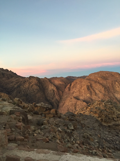
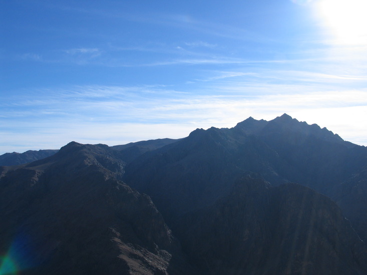
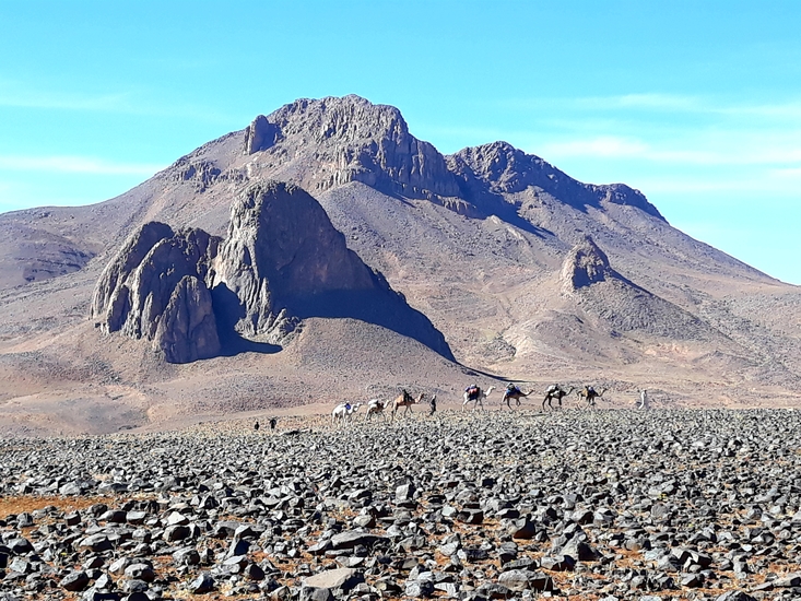
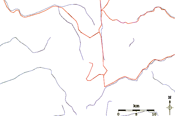
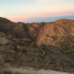
The climb to the summit of Mount Katherine is a relatively straight-forward hike up a well trodden camel path. The hike can be accomplished (up and down) in a single long day. No special equipment is necessary. Trekking poles are not required but might assist. Very near the summit there is a small refuge if one needs to spend the night in some shelter. There is a toilet right at the summit (standard squat toilet -- bring your own toilet paper). There is also a cooking shelter near the summit where meals can be prepared out of the wind and elements. Even though Mount Katherine is in the Sinai Desert, be prepared with a tent (unless you're going to stay in the one room refuge) and some warmer clothing. At the summit it can get quite windy and cold once the sun goes down.
2017-11-01 |
Click here to submit your own climbing note for Mount Catherine
|
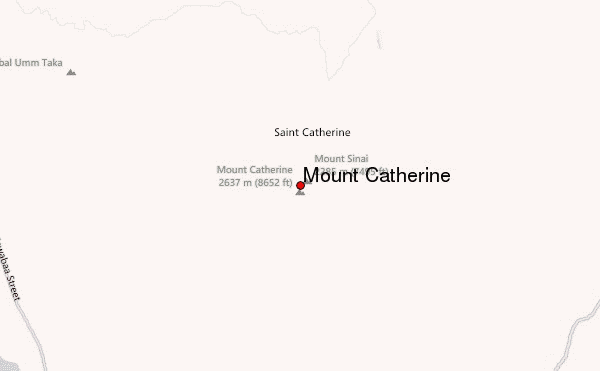
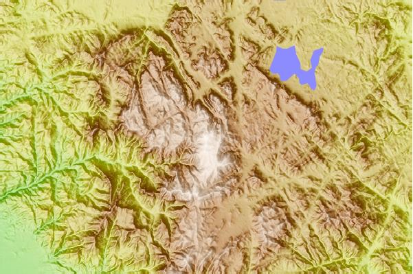
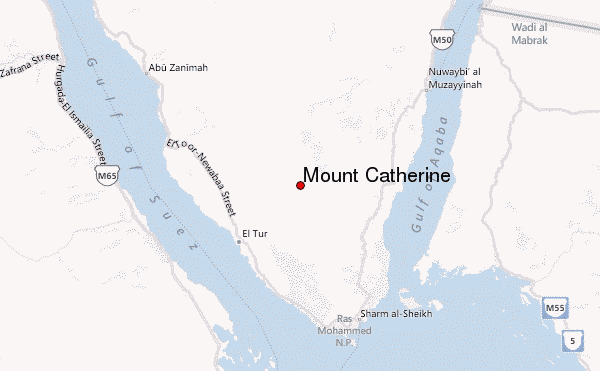
Select Mount Catherine Location Map Detail:
Use this relief map to navigate to mountain peaks in the area of Mount Catherine.
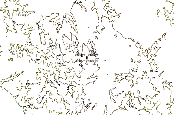
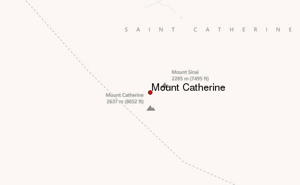
10 other mountain peaks closest to Mount Catherine:
 Mount Catherine – Climbing, Hiking & Mountaineering information