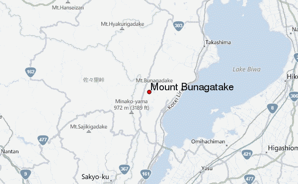
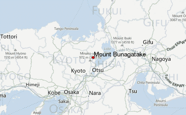
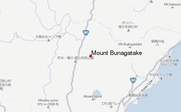
– Lat/Long: 35.25° N 135.88° E
 Mount Bunagatake – Climbing, Hiking & Mountaineering information

Mount Bunagatake Guide
- Elevation: 1214
- Difficulty: -
- Best months to climb: -
- Convenient center: -
Mount Bunagatake climbers NotesBe the first to submit your climbers note! Please submit any useful information about climbing Mount Bunagatake that may be useful to other climbers. Consider things such as access and accommodation at the base of Mount Bunagatake, as well as the logistics of climbing to the summit. |
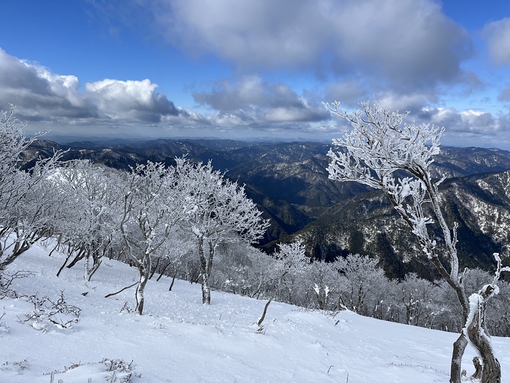
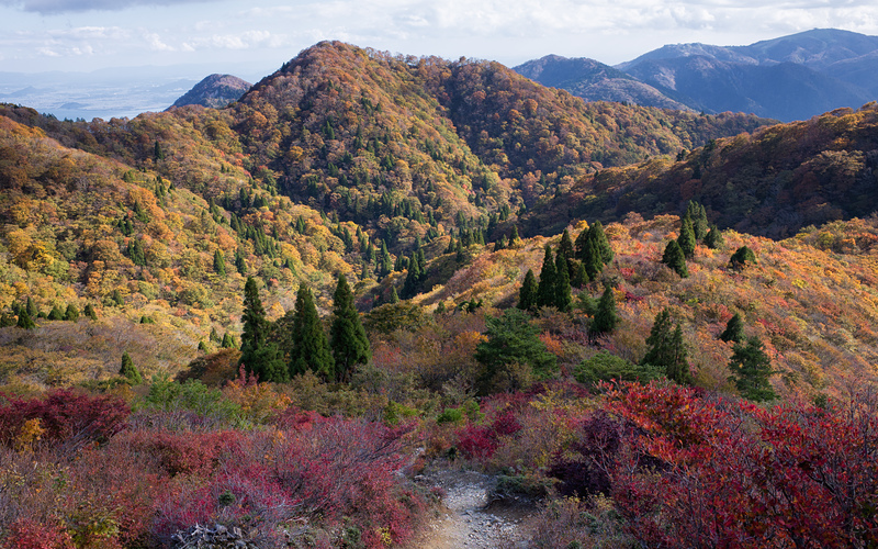
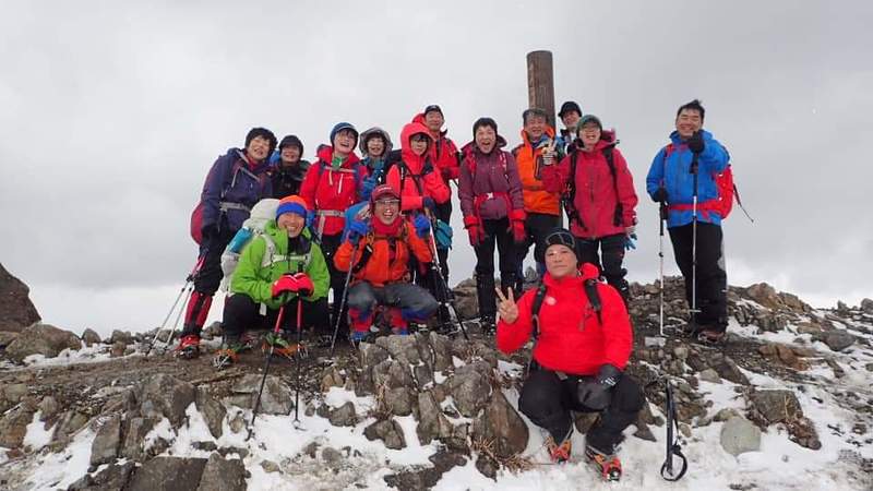
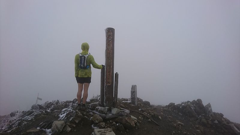
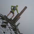
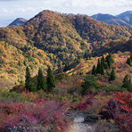
Latest Gallery Images for Mount Bunagatake


| Select a
mountain summit from the menu |
||
|
Select a Mountain Summit
|
||
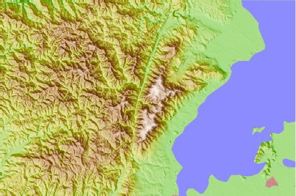
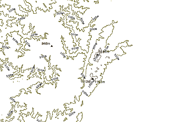
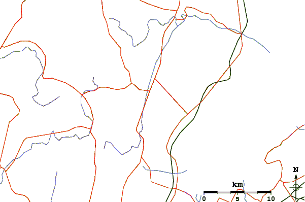
Use this relief map to navigate to mountain peaks in the area of Mount Bunagatake.
10 other mountain peaks closest to Mount Bunagatake:
| 1. | Mount Kurama (584 m) | 17.3 km |
| 2. | Mount Hiei (848 m) | 20.8 km |
| 3. | Mount Atago (924 m) | 31.0 km |
| 4. | Mount Ibuki (1377 m) | 51.0 km |
| 5. | Mount Kenpi (784 m) | 52.0 km |
| 6. | Mount Gozaisho (1212 m) | 55.0 km |
| 7. | Mount Taka (Osaka/Hyōgo) (721 m) | 55.9 km |
| 8. | Mount Yajuro (715 m) | 57.5 km |
| 9. | Mount Mitake (Hyōgo) (793 m) | 60.2 km |
| 10. | Mount Nishigatake (727 m) | 61.4 km |