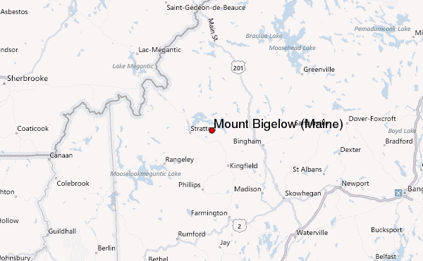
– Lat/Long: 45.15° N 70.28° W
 Mount Bigelow (Maine) – Climbing, Hiking & Mountaineering information

Mount Bigelow (Maine) Guide
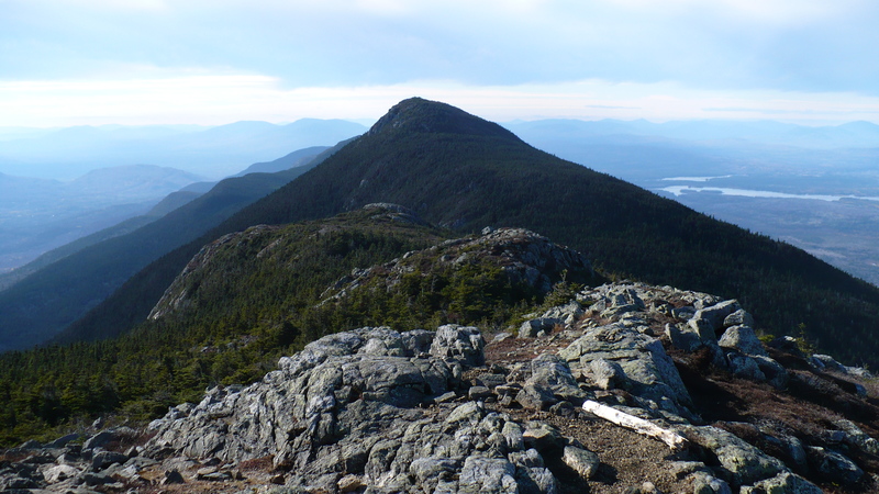
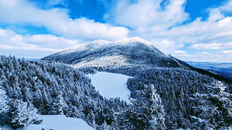
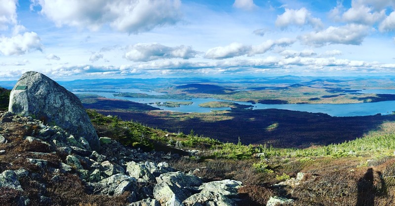
- Elevation: 1263
- Difficulty: -
- Best months to climb: -
- Convenient center: -
Mount Bigelow (Maine) climbers NotesBe the first to submit your climbers note! Please submit any useful information about climbing Mount Bigelow (Maine) that may be useful to other climbers. Consider things such as access and accommodation at the base of Mount Bigelow (Maine), as well as the logistics of climbing to the summit. |
| Select a
mountain summit from the menu |
||
|
Select a Mountain Summit
|
||
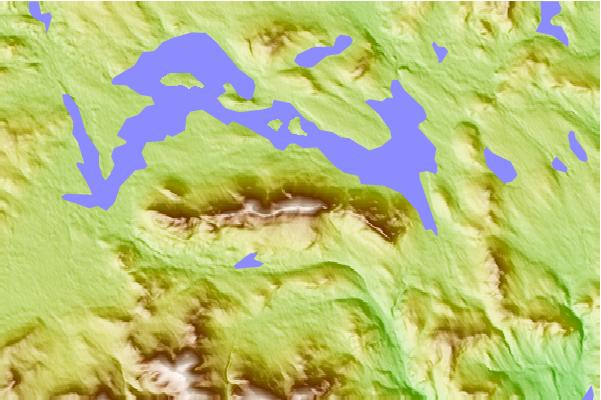
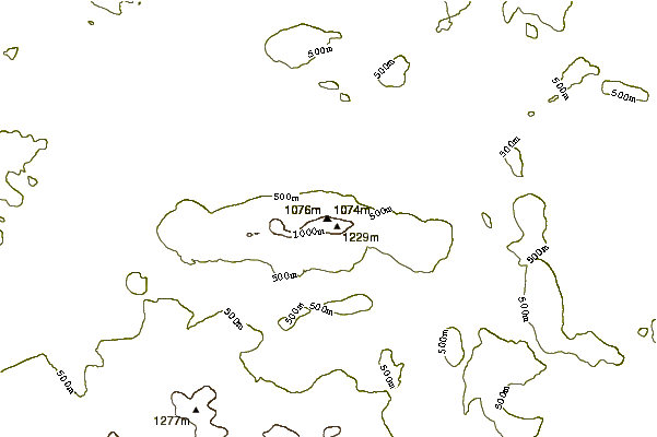
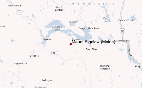
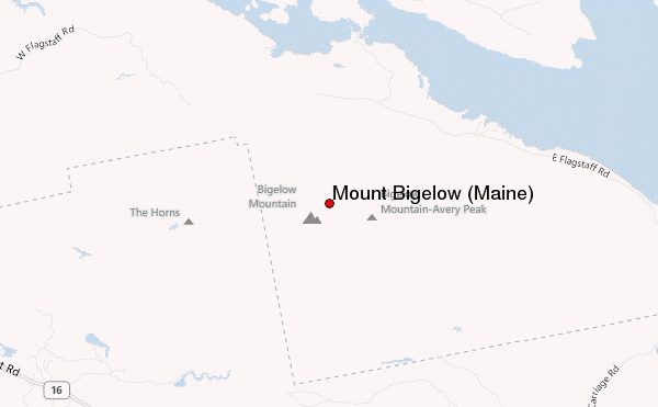
Use this relief map to navigate to mountain peaks in the area of Mount Bigelow (Maine).
10 other mountain peaks closest to Mount Bigelow (Maine):
| 1. | Sugarloaf Mountain (Franklin County, Maine) (1295 m) | 13.5 km |
| 2. | Crocker Mountain (Maine) (1289 m) | 13.9 km |
| 3. | South Crocker Mountain (1235 m) | 14.6 km |
| 4. | Mount Redington (1222 m) | 16.2 km |
| 5. | Spaulding Mountain (1222 m) | 16.8 km |
| 6. | Black Nubble (Redington Township, Maine) (1130 m) | 18.4 km |
| 7. | Mount Abraham (Maine) (1234 m) | 20.0 km |
| 8. | East Kennebago Mountain (1155 m) | 25.1 km |
| 9. | Saddleback Junior (1114 m) | 25.4 km |
| 10. | Freeman Ridge Bike Park (1229 m) | 25.5 km |
