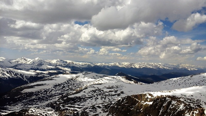
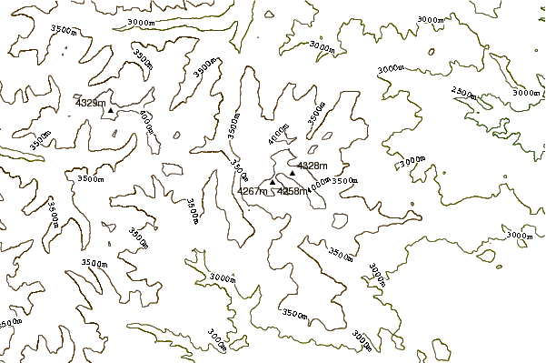
– Lat/Long: 39.58° N 105.67° W

UsMount Bierstadt – Climbing, Hiking & Mountaineering information

Placeholder

Mount Bierstadt mountain guide

Start of trail, Mount Bierstadt photo

Mount Bierstadt

Photo credit: TataHiker

Mount Bierstadt photo

Mount Bierstadt

Photo credit: Robertbody

Mount Bierstadt photo

Mount Bierstadt

Photo credit: Admin

Mount Bierstadt Summit photo

Mount Bierstadt

Photo credit: Richard

  • Elevation: 4286 m
  • Difficulty: Walk up
  • Best months to climb: January, February, December
  • Convenient center: Georgetown, CO

Mount Bierstadt Climbing Notes

Jim from UNITED STATES writes:

I am taking my ten-year-old boy hiking up Mount Bierstadt on Sunday morning, October 27th, 2013.

AS the date approaches, can anyone tell me the weather conditions near the summit? Specifically, I am looking to find out about how much snow may be on the ground.

Thanks. Text me at 402-210-0861.

2013-10-17

Click here to read 6 more climbing notes for Mount Bierstadt or submit your own

Mount Bierstadt Location Map

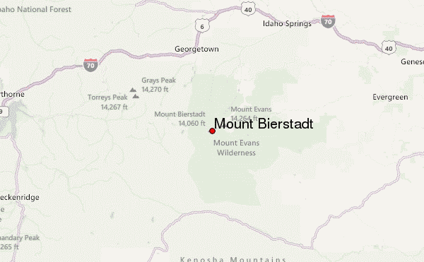
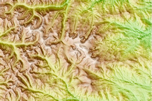
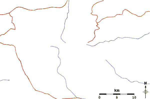
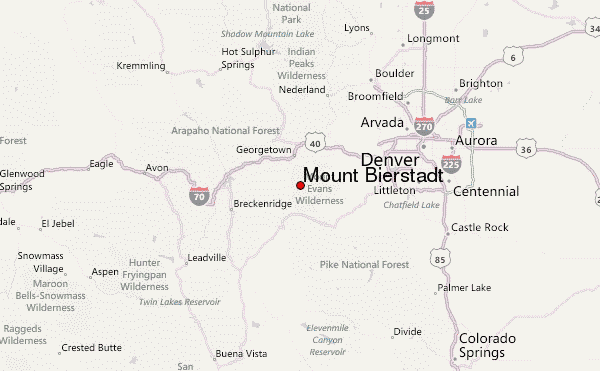
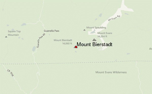
Select Mount Bierstadt Location Map Detail:


Latest Gallery Images for Mount Bierstadt

visit the
gallery
or click to view
Start of trailStart of trailStart of trail

Upload your photo of Mount Bierstadt

Select a mountain summit from the menu
Select a Mountain Summit
Surf breaks located close to Mount Bierstadt Mountain peaks around Mount Bierstadt Roads and rivers around Mount Bierstadt

Use this relief map to navigate to mountain peaks in the area of Mount Bierstadt.

10 other mountain peaks closest to Mount Bierstadt:
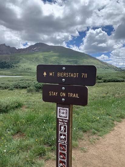
1. Mount Evans (4350 m) 2.2 km
2. Warren (4056 m) 3.6 km
3. Gray Wolf Mountain (4146 m) 3.9 km
4. Argentine Peak (4189 m) 9.9 km
5. Grays Peak (4350 m) 14.0 km
6. Torreys Peak (4349 m) 14.7 km
7. Shawnee Peak, Colorado (3635 m) 21.6 km
8. Mount Bailey (Colorado) (2770 m) 25.8 km
9. Parry Peak (4081 m) 28.7 km
10. James Peak (4052 m) 30.0 km