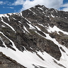
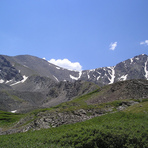
Grays Peak Guide
- Elevation: 4350
- Difficulty: Walk up
- Best months to climb: June, July, August, September
- Convenient center: Georgetown
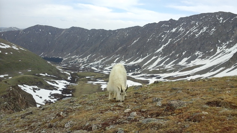
Grays Peak climbers Notes
Flatlander from UNITED STATES writes:
Today is May 4, 2014. Planning a trip to Gray's Peak in 3 weeks (Memorial Day weekend). I have done this 14'r in the past.
Concerned about accessibility to the access road up to the trailhead this time of year.
Does anyone have information on the current conditions or likely conditions by Memorial Day??? Starting to plan the trip and want to know if it is feasible to camp at the trail head.
Thank you
2014-05-04 |
Click here to read 3 more climbing notes for Grays Peak or submit your own
|
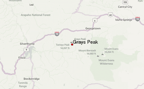
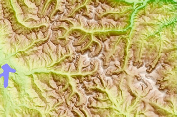
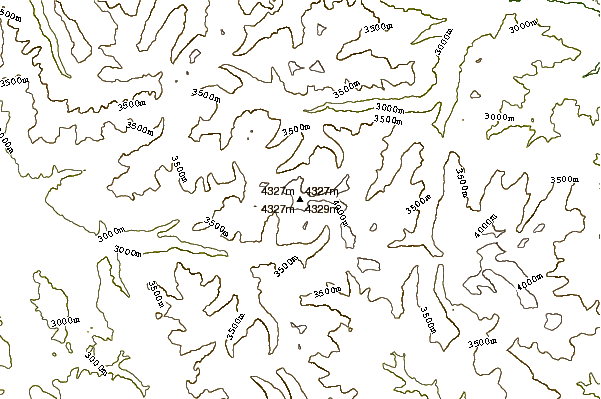
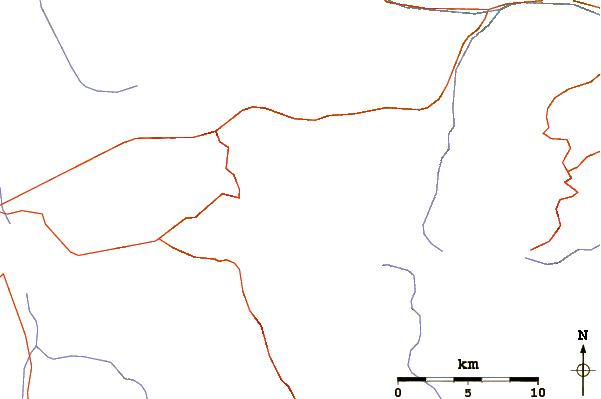
Select Grays Peak Location Map Detail:
Use this relief map to navigate to mountain peaks in the area of Grays Peak.
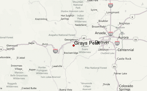
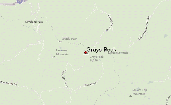
10 other mountain peaks closest to Grays Peak:
 Grays Peak – Climbing, Hiking & Mountaineering information