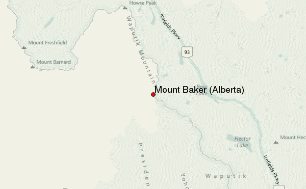
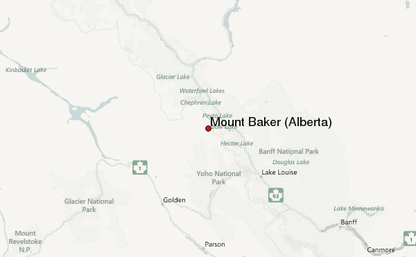
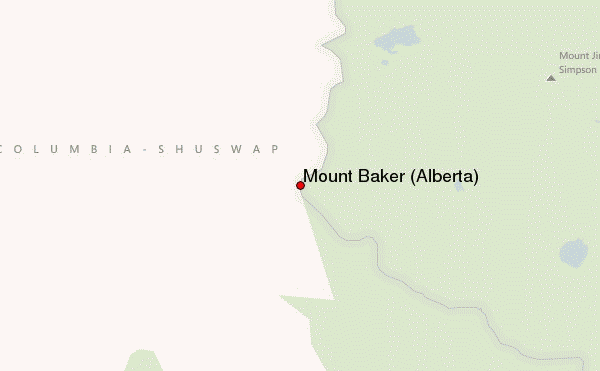
– Lat/Long: 51.66° N 116.60° W
 Mount Baker (Alberta) – Climbing, Hiking & Mountaineering information

Mount Baker (Alberta) Guide
- Elevation: 3180
- Difficulty: -
- Best months to climb: -
- Convenient center: -
Mount Baker (Alberta) climbers NotesBe the first to submit your climbers note! Please submit any useful information about climbing Mount Baker (Alberta) that may be useful to other climbers. Consider things such as access and accommodation at the base of Mount Baker (Alberta), as well as the logistics of climbing to the summit. |
| Select a
mountain summit from the menu |
||
|
Select a Mountain Summit
|
||
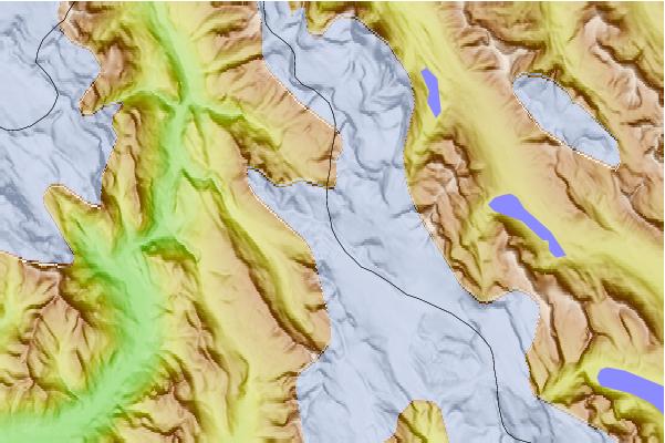
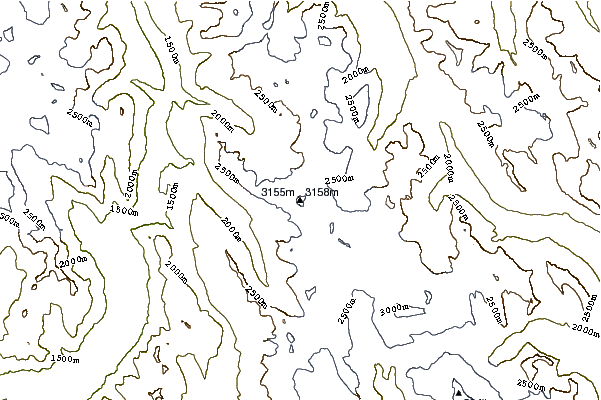
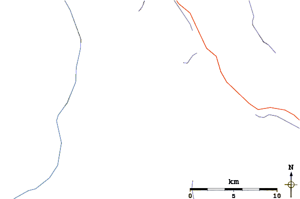
Use this relief map to navigate to mountain peaks in the area of Mount Baker (Alberta).
10 other mountain peaks closest to Mount Baker (Alberta):
| 1. | Trapper Peak (Canada) (2988 m) | 1.5 km |
| 2. | Mount Habel (3087 m) | 2.6 km |
| 3. | Mount Rhondda (3062 m) | 3.1 km |
| 4. | Peyto Peak (2980 m) | 3.2 km |
| 5. | Peter & Catharine Whyte (Peyto) Hut (2470 m) | 3.6 km |
| 6. | Mistaya Mountain (3096 m) | 5.3 km |
| 7. | Mount Collie (3143 m) | 5.4 km |
| 8. | St Nicholas Peak (2970 m) | 6.0 km |
| 9. | Caldron Peak (2911 m) | 7.1 km |
| 10. | Saint Nicholas Peak (Canada) (2938 m) | 7.7 km |