Mount Bailey (Colorado) Guide
- Elevation: 2770
- Difficulty: -
- Best months to climb: -
- Convenient center: -
Mount Bailey (Colorado) climbers Notes
Jim Glenn from UNITED STATES writes:
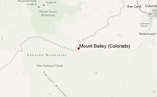
The trail to the top of Mount Bailey is about 1/2 mile. There are cliffs up top so caution to your kids. Trail built by volunteers of Burland HOA. Please stay to left (east) of towers as that is HOA property. To the right (west) of tower is private property so please honor their privacy. Please haul out your trash. From the top there are views to the west of Whale Peak and Glacier Peak as you look towards Kenosha Pass. To the southwest is the Platte River Range and Windy Peak is one of the higher peaks.
Link to video at top: https://youtu.be/t2n484_5r9s
2019-10-28 |
Click here to read 1 more climbing note for Mount Bailey (Colorado) or submit your own
|
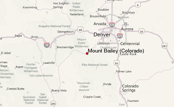
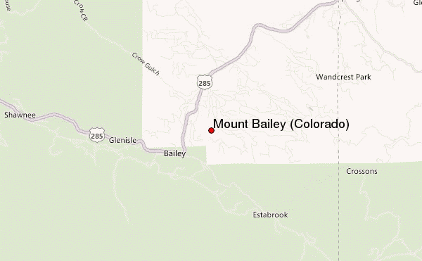
Select Mount Bailey (Colorado) Location Map Detail:
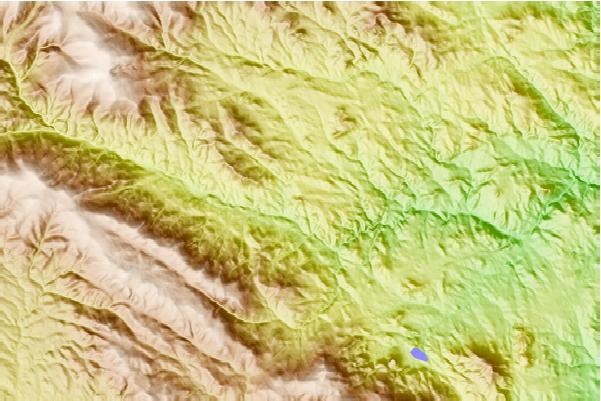
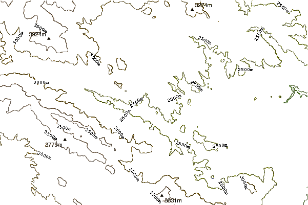
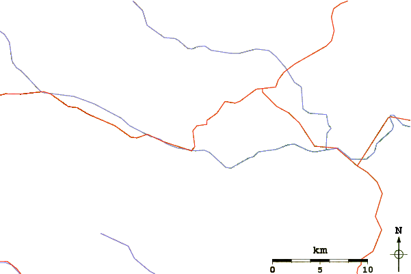
Use this relief map to navigate to mountain peaks in the area of Mount Bailey (Colorado).
10 other mountain peaks closest to Mount Bailey (Colorado):
 Mount Bailey (Colorado) – Climbing, Hiking & Mountaineering information