– Lat/Long: 35.06° N 135.63° E
 Mount Atago
Weather Forecast, JapanIssued: 8 pm Mon 03 Aug Local TimeUpdates in: hr min sUpdate imminent
Issued: 8 pm Mon 03 Aug Local Time
Updates in:
Update imminent hr min s

Issued: 8 pm Mon 03 Aug Local Time
Updates in:
Update imminent hr min s
Days 1–4 Weather SummarySome drizzle, heaviest during Mon night. Warm (max 25°C on Wed afternoon, min 21°C on Mon night). Winds increasing (calm on Mon night, strong winds from the ESE by Wed night). | Days 5–7 Weather SummaryMostly dry. Warm (max 24°C on Fri morning, min 21°C on Thu night). Winds decreasing (near gales from the ESE on Thu night, fresh winds from the ESE by Sun afternoon). | |||||||||||||||
Tuesday 4 | Wednesday 5 | Thursday 6 | Friday 7 | Saturday 8 | ||||||||||||
night | AM | PM | night | AM | PM | night | AM | PM | night | AM | PM | night | AM | PM | night | |
risk tstorm | rain shwrs | rain shwrs | clear | clear | clear | clear | clear | clear | clear | clear | clear | clear | clear | clear | some clouds | |
Cloud base (m) | 750 | 1600 | 850 | 550 | 600 | 850 | ||||||||||
km/h | ||||||||||||||||
 |  |  |  |  |  | |||||||||||
— | — | — | — | — | — | — | — | — | — | — | — | — | — | — | — | |
mm | 1.3 | 0.1 | 0.4 | — | — | — | — | — | — | — | — | — | — | — | — | — |
max °C | 23 | 23 | 24 | 22 | 24 | 25 | 22 | 24 | 25 | 23 | 24 | 24 | 22 | 23 | 23 | 21 |
min °C | 21 | 22 | 23 | 21 | 23 | 24 | 21 | 22 | 24 | 21 | 22 | 23 | 21 | 21 | 23 | 21 |
chill °C | 21 | 22 | 23 | 21 | 23 | 24 | 21 | 22 | 24 | 20 | 22 | 23 | 20 | 21 | 23 | 21 |
Freezing level m | 5600 | 5600 | 5500 | 5500 | 5450 | 5500 | 5650 | 5350 | 5350 | 5500 | 5400 | 5400 | 5400 | 5200 | 5100 | 5200 |
— | 5:07 | — | — | 5:09 | — | — | 5:09 | — | — | 5:09 | — | — | 5:11 | — | — | |
— | — | 6:58 | — | — | 6:57 | — | — | 6:55 | — | — | 6:54 | — | — | 6:53 | — | |
Loading...
Mount Atago Weather (Days 0-3):
The weather forecast for Mount Atago is: Some drizzle, heaviest during Mon night. Warm (max 25°C on Wed afternoon, min 21°C on Mon night). Winds increasing (calm on Mon night, strong winds from the ESE by Wed night).
Mount Atago Weather (Days 3-6):
Mostly dry. Warm (max 24°C on Fri morning, min 21°C on Thu night). Winds decreasing (near gales from the ESE on Thu night, fresh winds from the ESE by Sun afternoon).
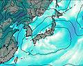
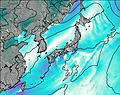
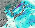
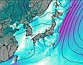
This table gives the weather forecast for Mount Atago at the specific elevation of 924 m. Our advanced weather models allow us to provide distinct weather forecasts for several elevations of Mount Atago. To see the weather forecasts for the other elevations, use the tab navigation above the table. For a wider overview of the weather, consult the Weather Map of Japan.
| Weather Station | Temp. | Weather | Wind | Gusts | Cloud / Visibility |
|---|---|---|---|---|---|
thunderstorm affecting Kawanishi | |||||
thunderstorm affecting Takarazuka | |||||
thunderstorm affecting Itami | |||||
lightning 4km SSW of Osaka International Airport | |||||
thunderstorm affecting Nishinomiya |
* NOTE: not all weather observatories update at the same frequency which is the reason why some locations may show data from stations that are further away than known closer ones.
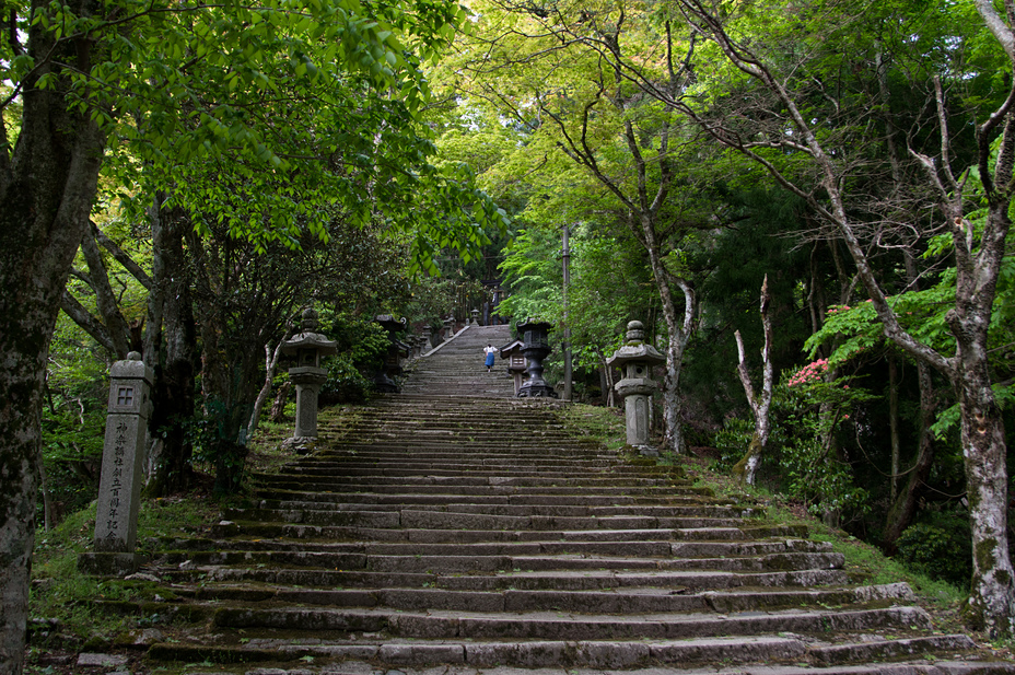
Mount Atago Photos
View all
Japanese Archipelago photos (294) |
photos from mountains in Japan (376) |
all photos
 Upload new photo
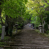
Steps to Atago Shrine