Mount Ashibetsu Guide
- Elevation: 1726
- Difficulty: -
- Best months to climb: -
- Convenient center: -
Mount Ashibetsu climbers Notes
Like2hike from JAPAN writes:
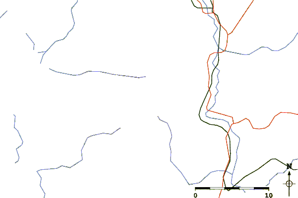
There are two trails (the old and the new) which you can do as a loop, or you can just go up and back the same trail. I went up and back the new trail, which is the shorter of the two trails and takes between 8 and 10 hours (round trip) to complete. We did it in 9 hours and 12 minutes including breaks.
Bears are not uncommon in this area, so making noise or bringing a bear bell is recommended.
The distance is 12km return with an elevation change of 1500 meters.
2020-08-20 |
Click here to submit your own climbing note for Mount Ashibetsu
|
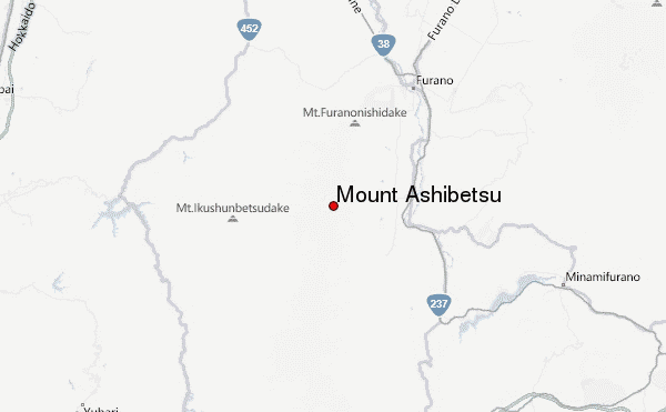
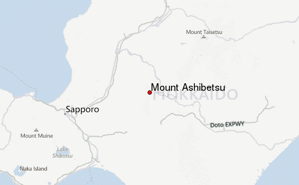
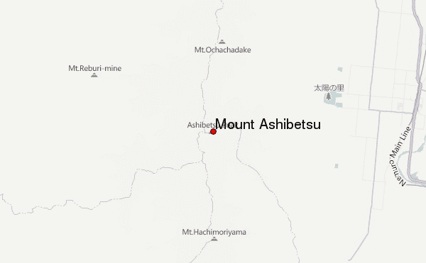
Select Mount Ashibetsu Location Map Detail:
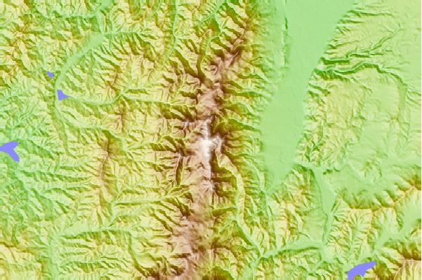
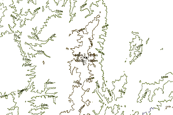
Use this relief map to navigate to mountain peaks in the area of Mount Ashibetsu.
10 other mountain peaks closest to Mount Ashibetsu:
 Mount Ashibetsu – Climbing, Hiking & Mountaineering information