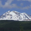
Mount Adams Guide
- Elevation: 3741
- Difficulty: Basic Snow and Ice Climb
- Best months to climb: May, June, July, August
- Convenient center: Trout Lake, Washington
Mount Adams climbers Notes
Steve Hovanes from UNITED STATES writes:
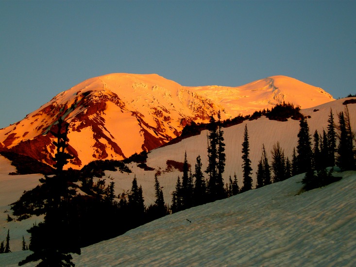
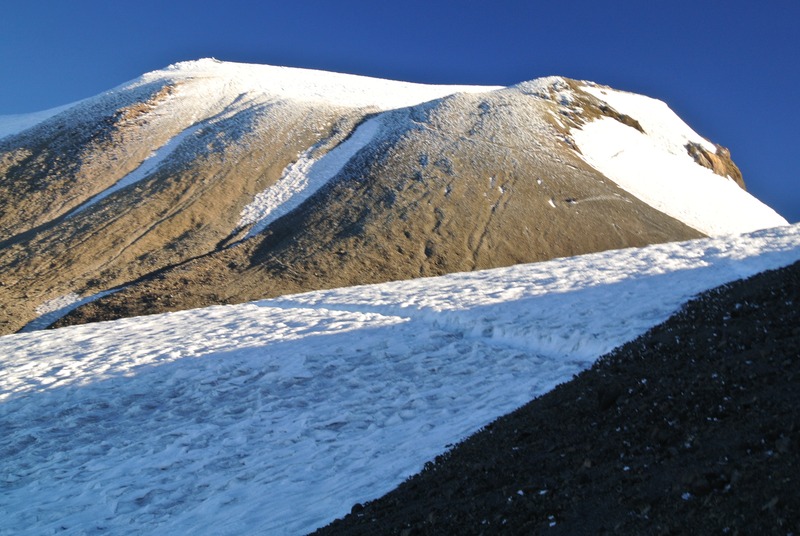
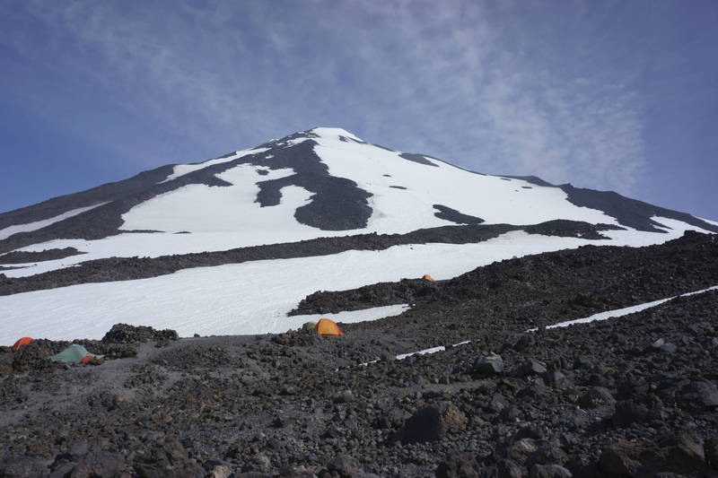
A nice route variation on the south climb route and a way to escape the hordes is to go climber's left when the trail starts to climb. Continue around to the ice fields on the southwest side, then up and intersect the lunch counter and rejoin the south route. I was up in August and snow was hard until the sun hit it, so crampons are mandatory. Be aware that Adams is a large pile of loose rock and avoid possible rock fall from the rotten rock islands in the snowfields.
When descending is is very easy to be drawn climbers left from the lunch counter; the snowfield cliffs out if you head that way, so stay hard right.
2016-03-14 |
Click here to read 6 more climbing notes for Mount Adams or submit your own
|
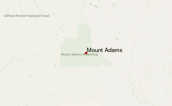
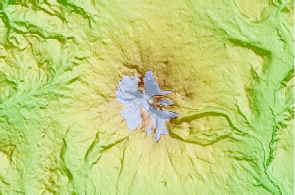
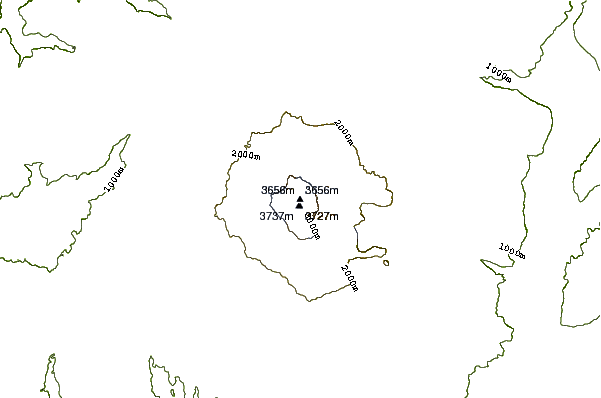
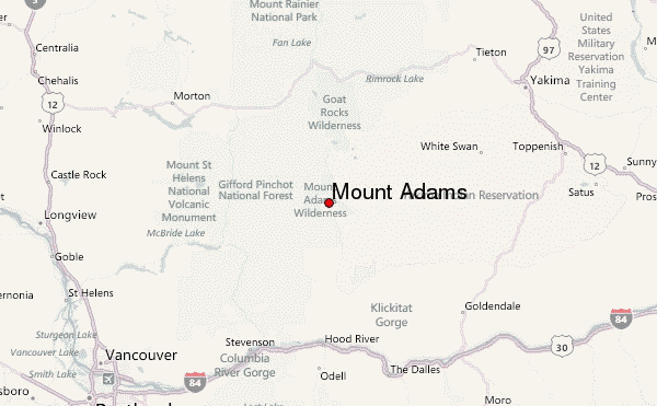
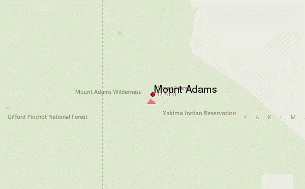
Select Mount Adams Location Map Detail:
Use this relief map to navigate to mountain peaks in the area of Mount Adams.
10 other mountain peaks closest to Mount Adams:
 Mount Adams – Climbing, Hiking & Mountaineering information


