– Lat/Long: 47.60° S 72.32° W
 Monte San Lorenzo – Climbing, Hiking & Mountaineering information

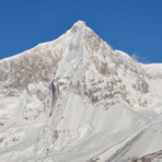
Monte San Lorenzo Guide
- Elevation: 3706
- Difficulty: -
- Best months to climb: -
- Convenient center: -
Monte San Lorenzo climbers NotesBe the first to submit your climbers note! Please submit any useful information about climbing Monte San Lorenzo that may be useful to other climbers. Consider things such as access and accommodation at the base of Monte San Lorenzo, as well as the logistics of climbing to the summit. |
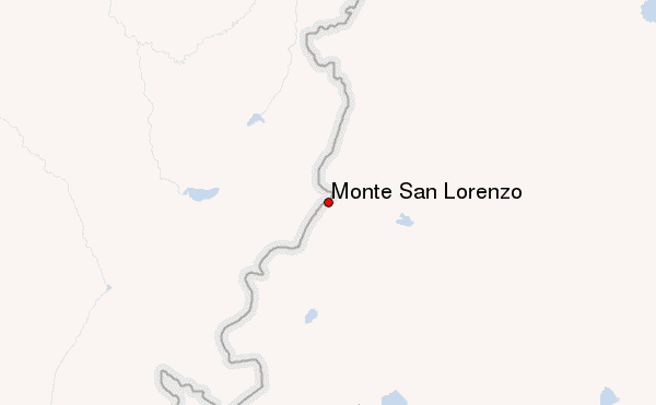
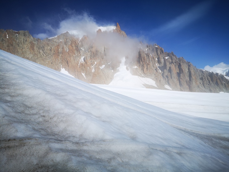
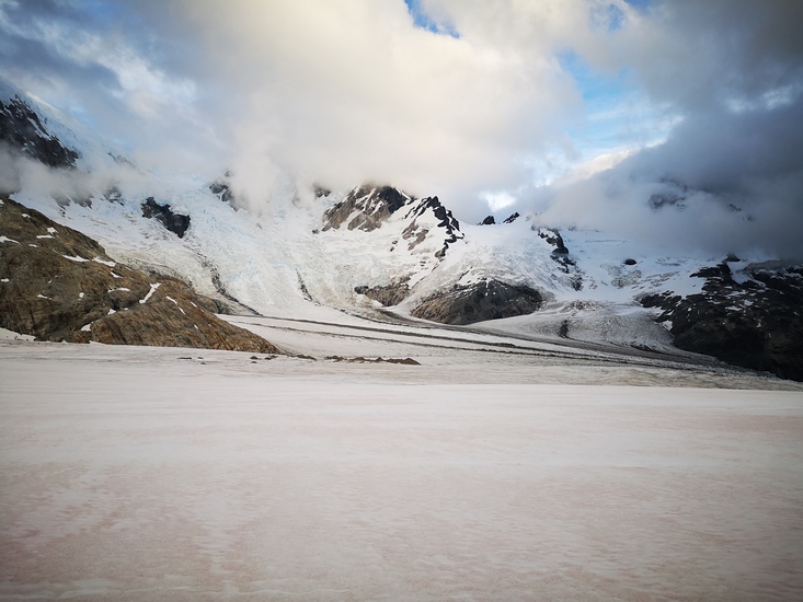
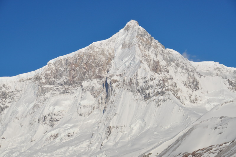
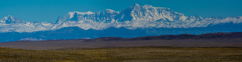
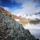
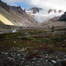
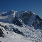
Latest Gallery Images for Monte San Lorenzo
| Select a
mountain summit from the menu |
||
|
Select a Mountain Summit
|
||
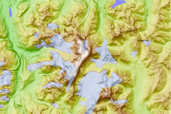
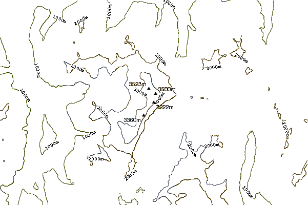
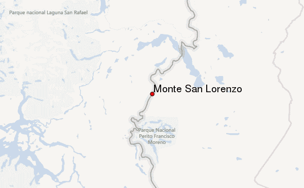
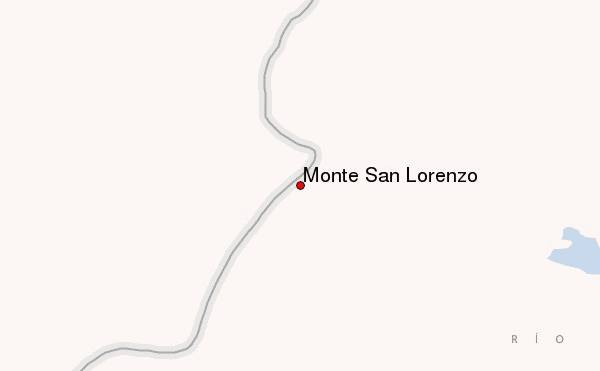
Use this relief map to navigate to mountain peaks in the area of Monte San Lorenzo.
10 other mountain peaks closest to Monte San Lorenzo:
| 1. | San Lorenzo (3706 m) | 0.0 km |
| 2. | Sierra de Sangra (2200 m) | 85.4 km |
| 3. | Cerro Pared Norte (3005 m) | 87.9 km |
| 4. | Cerro Arenales (3437 m) | 98.5 km |
| 5. | Cerro Steffen (3056 m) | 122.6 km |
| 6. | Cerro San Valentin (4058 m) | 135.3 km |
| 7. | Monte San Valentin (4058 m) | 136.3 km |
| 8. | Cerro Castillo (2675 m) | 171.3 km |
| 9. | Cerro Rojo (5911 m) | 172.4 km |
| 10. | Lautaro (3380 m) | 182.5 km |