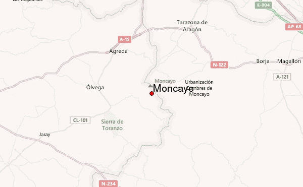
– Lat/Long: 41.77° N 1.83° W
 Moncayo – Climbing, Hiking & Mountaineering information

Moncayo Guide
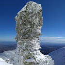
- Elevation: 2315
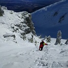
- Difficulty: Walk up
- Best months to climb: May, June, July, August, September, October
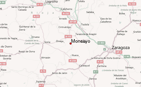
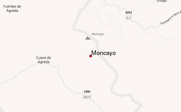
- Convenient center: Tarazona
Moncayo climbers NotesBe the first to submit your climbers note! Please submit any useful information about climbing Moncayo that may be useful to other climbers. Consider things such as access and accommodation at the base of Moncayo, as well as the logistics of climbing to the summit. |

| Select a
mountain summit from the menu |
||
|
Select a Mountain Summit
|
||
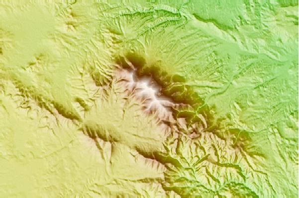
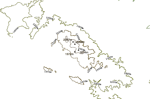
Use this relief map to navigate to mountain peaks in the area of Moncayo.
10 other mountain peaks closest to Moncayo:
| 1. | Refugio Majada Baja (1800 m) | 3.7 km |
| 2. | Refugio Valdemanzano (1300 m) | 4.3 km |
| 3. | Refugio PARIDERA DE LA (1222 m) | 4.4 km |
| 4. | Refugio HERNANIKOA CAZADORES (1078 m) | 6.0 km |
| 5. | Refugio de Cerrogordo (1298 m) | 8.9 km |
| 6. | Refugio BOROBIA (1163 m) | 10.1 km |
| 7. | Refugio Collado del Campo (Zaragoza) (1275 m) | 12.6 km |
| 8. | Refugio AGUILUCHOS (675 m) | 22.0 km |
| 9. | Cabrera (1433 m) | 27.9 km |
| 10. | Burrén and Burrena (806 m) | 35.8 km |