– Lat/Long: 37.66° N 119.18° W
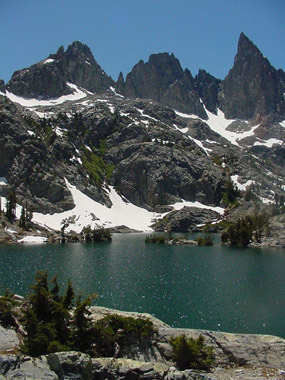
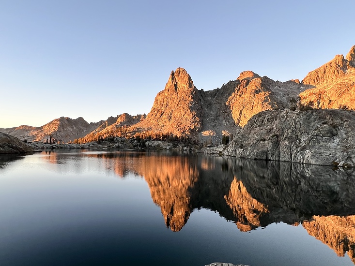
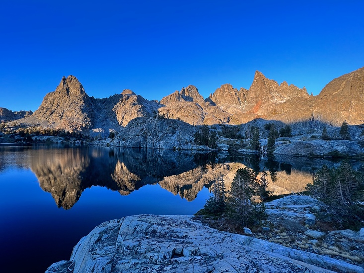
 Minarets (California) – Climbing, Hiking & Mountaineering information

Minarets (California) Guide
- Elevation: 3738
- Difficulty: -
- Best months to climb: -
- Convenient center: -
Minarets (California) climbers NotesBe the first to submit your climbers note! Please submit any useful information about climbing Minarets (California) that may be useful to other climbers. Consider things such as access and accommodation at the base of Minarets (California), as well as the logistics of climbing to the summit. |
| Select a
mountain summit from the menu |
||
|
Select a Mountain Summit
|
||
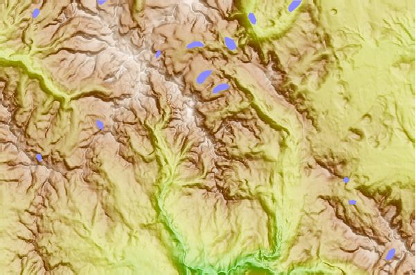
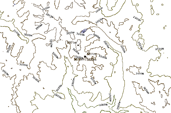
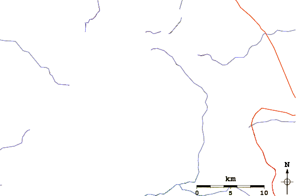
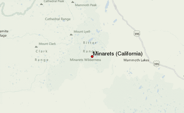
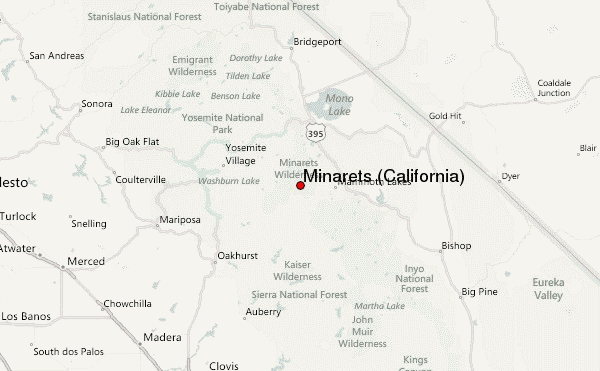
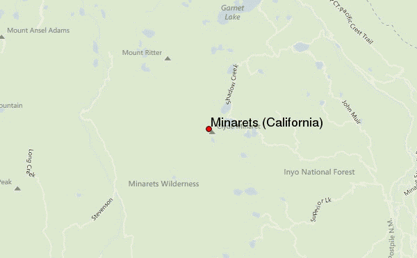
Use this relief map to navigate to mountain peaks in the area of Minarets (California).
10 other mountain peaks closest to Minarets (California):
| 1. | Banner Peak (3946 m) | 4.1 km |
| 2. | Mount Davis (California) (3750 m) | 7.0 km |
| 3. | Mount Ansel Adams (3584 m) | 9.9 km |
| 4. | Carson Peak (3325 m) | 11.2 km |
| 5. | Clyde Minaret (3743 m) | 11.2 km |
| 6. | Mount Lyell (3998 m) | 11.9 km |
| 7. | Mammoth Mountain Bike Park (3346 m) | 12.6 km |
| 8. | Mount Maclure (3928 m) | 12.9 km |
| 9. | Mammoth Mountain (3369 m) | 13.3 km |
| 10. | Inyo Craters (2629 m) | 14.3 km |