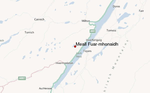
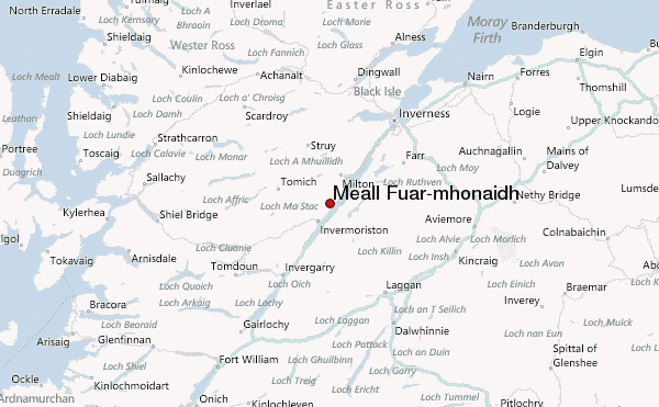
– Lat/Long: 57.26° N 4.56° W
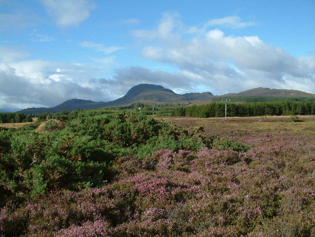
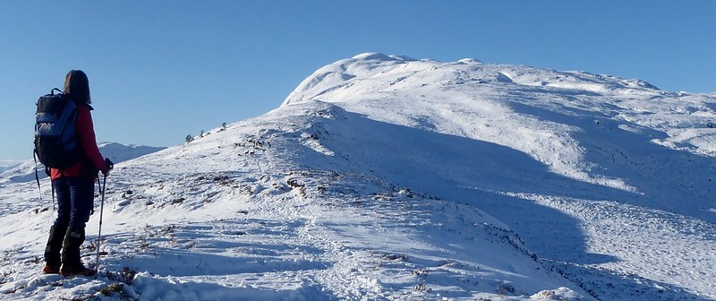
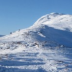
 Meall Fuar-mhonaidh – Climbing, Hiking & Mountaineering information

Meall Fuar-mhonaidh Guide
- Elevation: 699
- Difficulty: -
- Best months to climb: -
- Convenient center: -
Meall Fuar-mhonaidh climbers NotesBe the first to submit your climbers note! Please submit any useful information about climbing Meall Fuar-mhonaidh that may be useful to other climbers. Consider things such as access and accommodation at the base of Meall Fuar-mhonaidh, as well as the logistics of climbing to the summit. |
| Select a
mountain summit from the menu |
||
|
Select a Mountain Summit
|
||
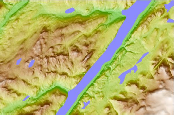
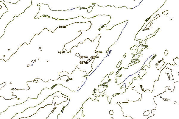
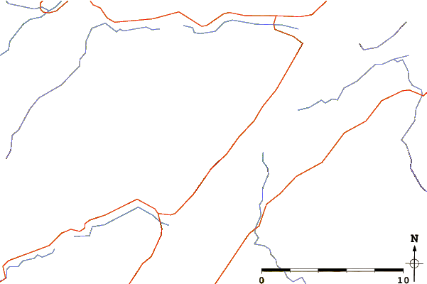
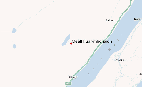
Use this relief map to navigate to mountain peaks in the area of Meall Fuar-mhonaidh.
10 other mountain peaks closest to Meall Fuar-mhonaidh:
| 1. | Blackburn of Corrieyairack (344 m) | 20.7 km |
| 2. | Achadh-nan-darach Bothy (140 m) | 21.8 km |
| 3. | Sgorr na Dìollaid (818 m) | 22.4 km |
| 4. | Beinn a' Bhathaich Àrd (862 m) | 23.4 km |
| 5. | Glenbuck Bothy (283 m) | 25.6 km |
| 6. | Càrn Dearg (Monadh Liath) (945 m) | 26.7 km |
| 7. | Sgùrr a' Choire Ghlais (1083 m) | 28.7 km |
| 8. | Luib Chonnal (331 m) | 29.2 km |
| 9. | Càrn nan Gobhar (Mullardoch) (992 m) | 30.0 km |
| 10. | Ben Tee (901 m) | 32.3 km |