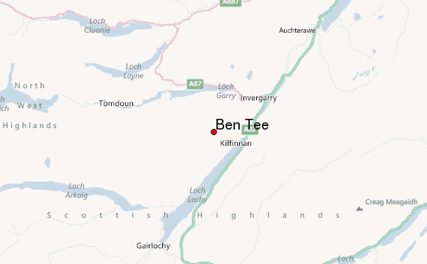
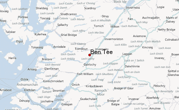
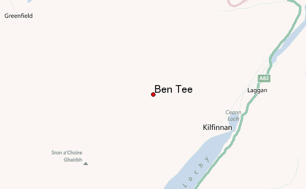
– Lat/Long: 57.03° N 4.88° W
 Ben Tee – Climbing, Hiking & Mountaineering information

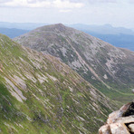
Ben Tee Guide
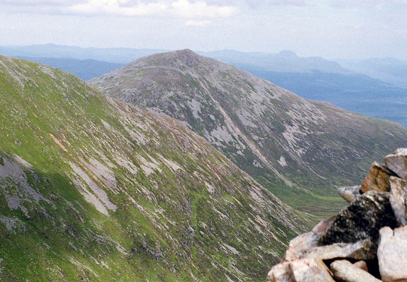
- Elevation: 901
- Difficulty: Walk up
- Best months to climb: January, February, March, April, May, June, July, August, September, October, November, December
- Convenient center: Fort William
Ben Tee climbers NotesBe the first to submit your climbers note! Please submit any useful information about climbing Ben Tee that may be useful to other climbers. Consider things such as access and accommodation at the base of Ben Tee, as well as the logistics of climbing to the summit. |
| Select a
mountain summit from the menu |
||
|
Select a Mountain Summit
|
||
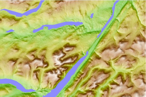
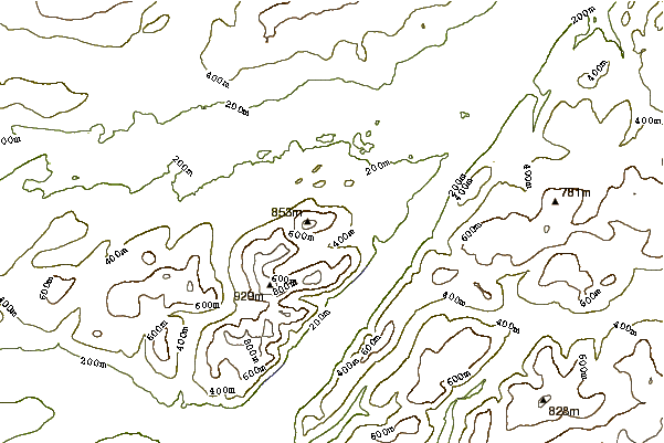
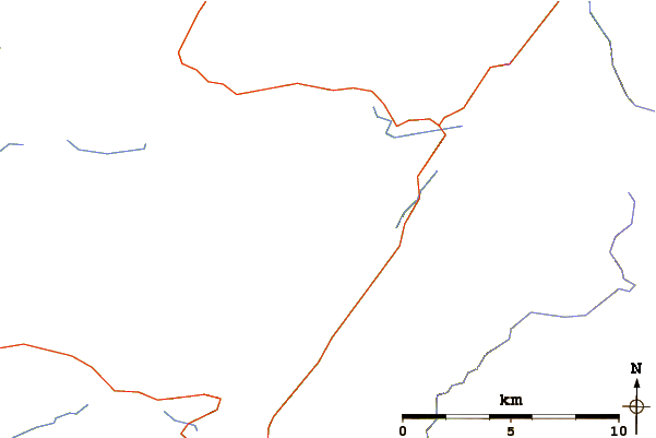
Use this relief map to navigate to mountain peaks in the area of Ben Tee.
10 other mountain peaks closest to Ben Tee:
| 1. | Sròn a' Choire Ghairbh (937 m) | 3.9 km |
| 2. | Meall na Teanga (918 m) | 5.7 km |
| 3. | Meall na h-Eilde (838 m) | 7.1 km |
| 4. | Glenbuck Bothy (283 m) | 8.7 km |
| 5. | Achadh-nan-darach Bothy (140 m) | 10.5 km |
| 6. | Blackburn of Corrieyairack (344 m) | 14.2 km |
| 7. | Invermallie Bothy (45 m) | 14.3 km |
| 8. | Luib Chonnal (331 m) | 14.7 km |
| 9. | Beinn a' Chaorainn (Glen Spean) (1052 m) | 18.2 km |
| 10. | Creag Meagaidh (1128 m) | 19.2 km |