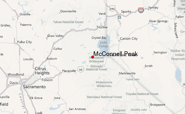
– Lat/Long: 38.95° N 120.24° W
 McConnell Peak – Climbing, Hiking & Mountaineering information

McConnell Peak Guide
- Elevation: 2773
- Difficulty: -
- Best months to climb: -
- Convenient center: -
McConnell Peak climbers NotesBe the first to submit your climbers note! Please submit any useful information about climbing McConnell Peak that may be useful to other climbers. Consider things such as access and accommodation at the base of McConnell Peak, as well as the logistics of climbing to the summit. |
| Select a
mountain summit from the menu |
||
|
Select a Mountain Summit
|
||
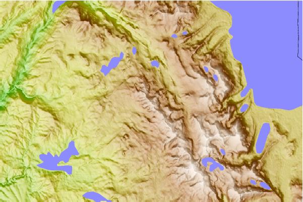
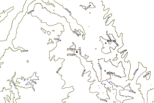
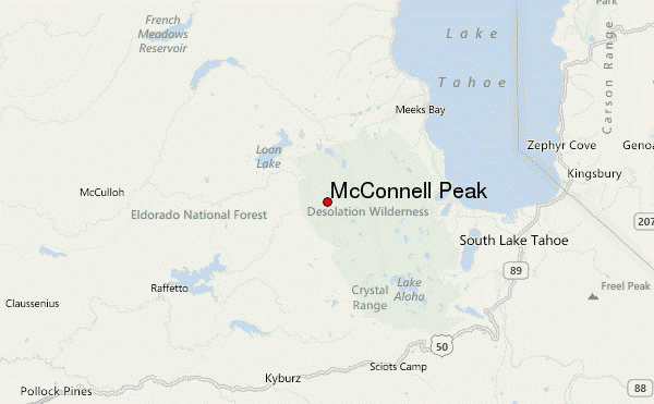
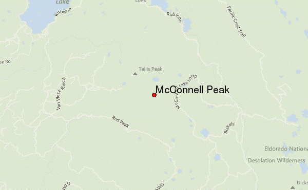
Use this relief map to navigate to mountain peaks in the area of McConnell Peak.
10 other mountain peaks closest to McConnell Peak:
| 1. | Tells Peak (2704 m) | 1.6 km |
| 2. | Silver Peak (El Dorado County, California) (2722 m) | 2.0 km |
| 3. | Red Peak (2837 m) | 3.3 km |
| 4. | Van Vleck Emergency Storm Shelter (2125 m) | 5.3 km |
| 5. | Middle Mountain (2540 m) | 5.4 km |
| 6. | Van Vleck Bunkhouse (1997 m) | 7.0 km |
| 7. | Lost Corner Mountain (2518 m) | 8.0 km |
| 8. | Phipps Peak (2814 m) | 8.1 km |
| 9. | Ludlow Hut (2256 m) | 8.7 km |
| 10. | Rubicon Peak (2799 m) | 10.5 km |
