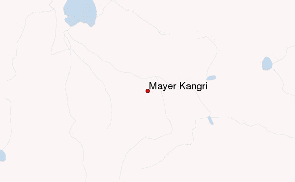
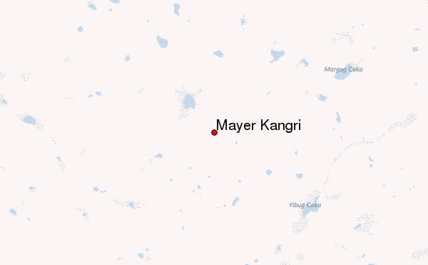
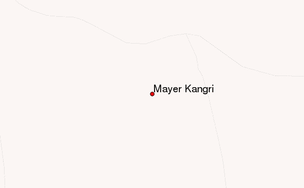
– Lat/Long: 33.47° N 86.00° E
 Mayer Kangri – Climbing, Hiking & Mountaineering information

Mayer Kangri Guide
- Elevation: 6262
- Difficulty: Major Mountain Expedition
- Best months to climb: -
- Convenient center: -
Mayer Kangri climbers NotesBe the first to submit your climbers note! Please submit any useful information about climbing Mayer Kangri that may be useful to other climbers. Consider things such as access and accommodation at the base of Mayer Kangri, as well as the logistics of climbing to the summit. |
| Select a
mountain summit from the menu |
||
|
Select a Mountain Summit
|
||
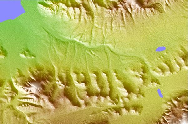
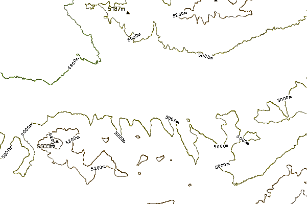
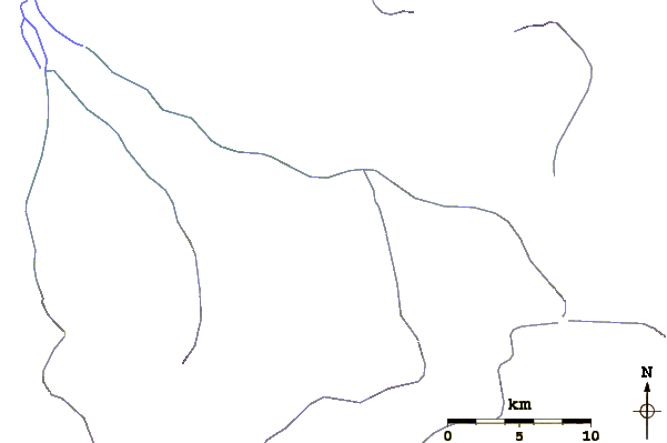
Use this relief map to navigate to mountain peaks in the area of Mayer Kangri.
10 other mountain peaks closest to Mayer Kangri:
| 1. | Zangsêr or Zanzber Kangri (6972 m) | 102.5 km |
| 2. | Ulug Muztag (7724 m) | 352.8 km |
| 3. | Ulugh Muztagh (6987 m) | 354.5 km |
| 4. | Lunpo Gangri (7095 m) | 425.2 km |
| 5. | Geladaindong Peak (6621 m) | 479.7 km |
| 6. | Liushi Shan (7167 m) | 510.2 km |
| 7. | Kailas (6714 m) | 515.3 km |
| 8. | Bukadaban Feng (6860 m) | 528.1 km |
| 9. | Annapurna 3 (7555 m) | 535.6 km |
| 10. | Ratna Chuli (7035 m) | 536.8 km |