– Lat/Long: 35.80° N 82.96° W
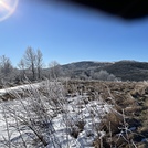
 Max Patch – Climbing, Hiking & Mountaineering information

Max Patch Guide

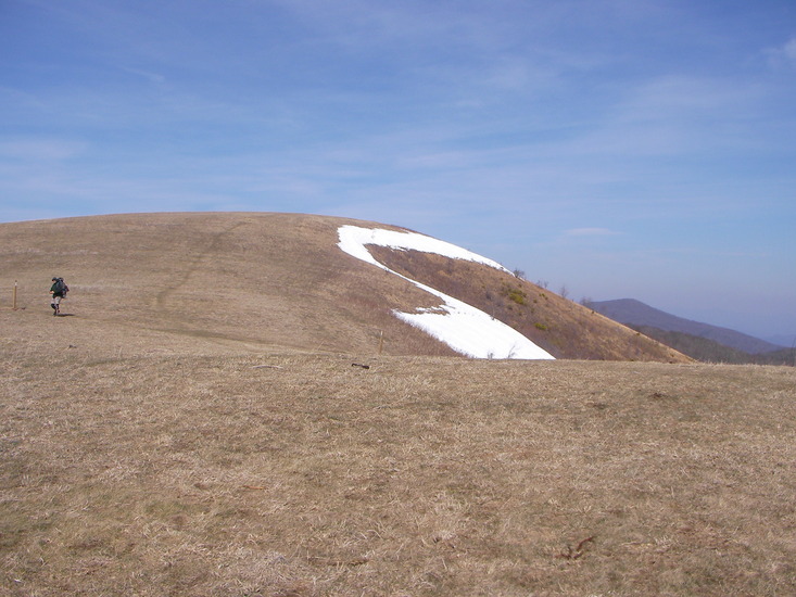
- Elevation: 1411
- Difficulty: Walk up
- Best months to climb: March, April, May, June, July, August, September, October, November
- Convenient center: Hot Springs, North Carolina
Max Patch climbers NotesBe the first to submit your climbers note! Please submit any useful information about climbing Max Patch that may be useful to other climbers. Consider things such as access and accommodation at the base of Max Patch, as well as the logistics of climbing to the summit. |


| Select a
mountain summit from the menu |
||
|
Select a Mountain Summit
|
||
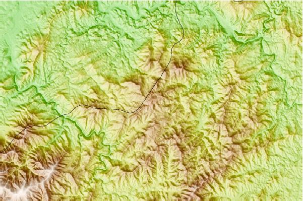
Use this relief map to navigate to mountain peaks in the area of Max Patch.
10 other mountain peaks closest to Max Patch:
| 1. | Mount Cammerer (1502 m) | 18.8 km |
| 2. | Old Black (Great Smoky Mountains) (1942 m) | 28.4 km |
| 3. | Mt Guyot (2018 m) | 29.0 km |
| 4. | North Eaglenest Mountain (1547 m) | 33.8 km |
| 5. | Eaglenest Mountain (1501 m) | 34.4 km |
| 6. | Bailey Mountain Bike Park (354 m) | 34.5 km |
| 7. | Waterrock Knob (1918 m) | 40.5 km |
| 8. | Kolo Bike Park (647 m) | 40.7 km |
| 9. | Mount Kephart (1875 m) | 43.3 km |
| 10. | Beaucatcher Mountain (821 m) | 43.5 km |
