– Lat/Long: 3.10° S 37.45° E
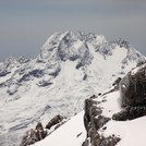
 Mawenzi – Climbing, Hiking & Mountaineering information

Mawenzi Guide
- Elevation: 5149
- Difficulty: Scramble
- Best months to climb: January, February, June, July, August, September, October, November, December
- Convenient center: Arusha or Moshi
Mawenzi climbers NotesBe the first to submit your climbers note! Please submit any useful information about climbing Mawenzi that may be useful to other climbers. Consider things such as access and accommodation at the base of Mawenzi, as well as the logistics of climbing to the summit. |
| Select a
mountain summit from the menu |
||
|
Select a Mountain Summit
|
||
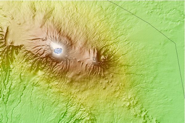
Use this relief map to navigate to mountain peaks in the area of Mawenzi.
10 other mountain peaks closest to Mawenzi:
| 1. | Mount Kilimanjaro climbing routes (5895 m) | 11.1 km |
| 2. | Mount Kilimanjaro (5963 m) | 11.6 km |
| 3. | Chyulu Hills (2188 m) | 66.9 km |
| 4. | Mount Meru (4566 m) | 79.6 km |
| 5. | Ol Doinyo Lengai (2896 m) | 176.4 km |
| 6. | Loolmalasin (3682 m) | 209.6 km |
| 7. | Suswa (2356 m) | 246.7 km |
| 8. | Mount Longonot (2777 m) | 266.9 km |
| 9. | Olkaria (2434 m) | 276.3 km |
| 10. | Aberdare Range (3994 m) | 287.2 km |